This page was translated from Hebrew and has not been reviewed yet. The Hebrew page is the reference. עברית
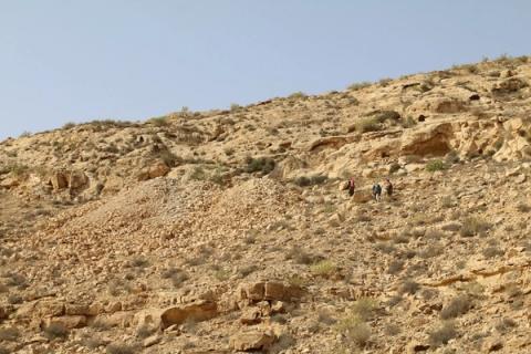
Nahal Besor Survey
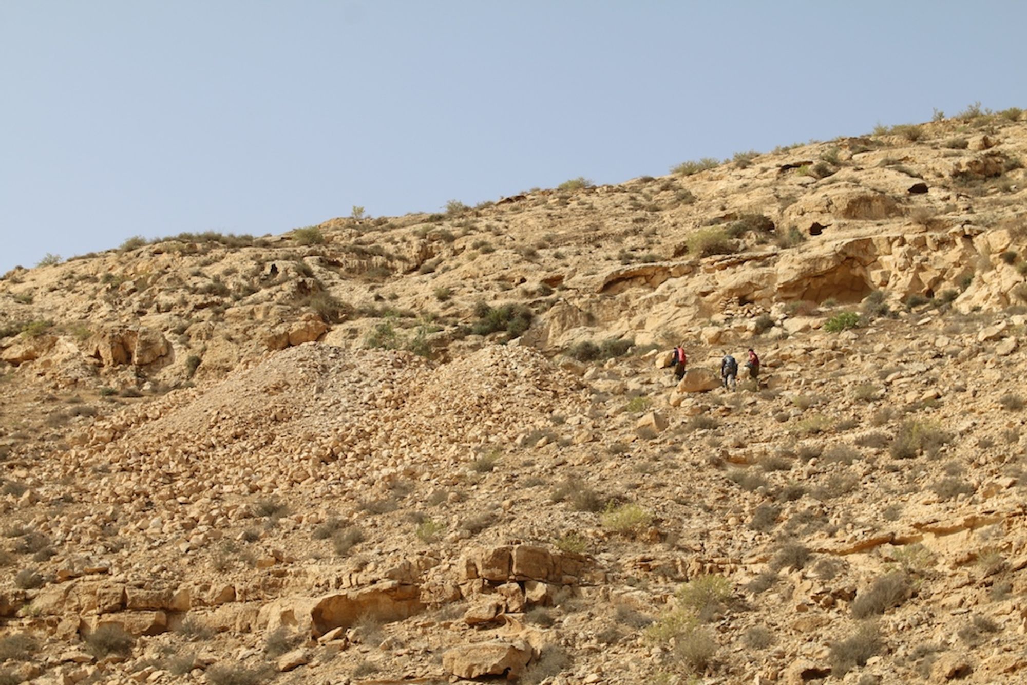
. On its long way to the sea, the course of Nahal Besor crosses the structure of the Boker Ridge in the section known as the Dayyaka Ridge. On the stream banks the rocks of the Drorim and Shivta Formations are exposed. In recent years several caves were found in the Shivta Formation, discovered without a systematic and orderly survey. It is likely that more caves are hidden among the folds of the cliff
Survey page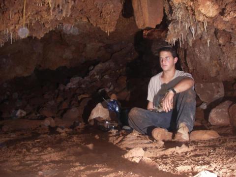
Nahal Beit Arif Cave Survey
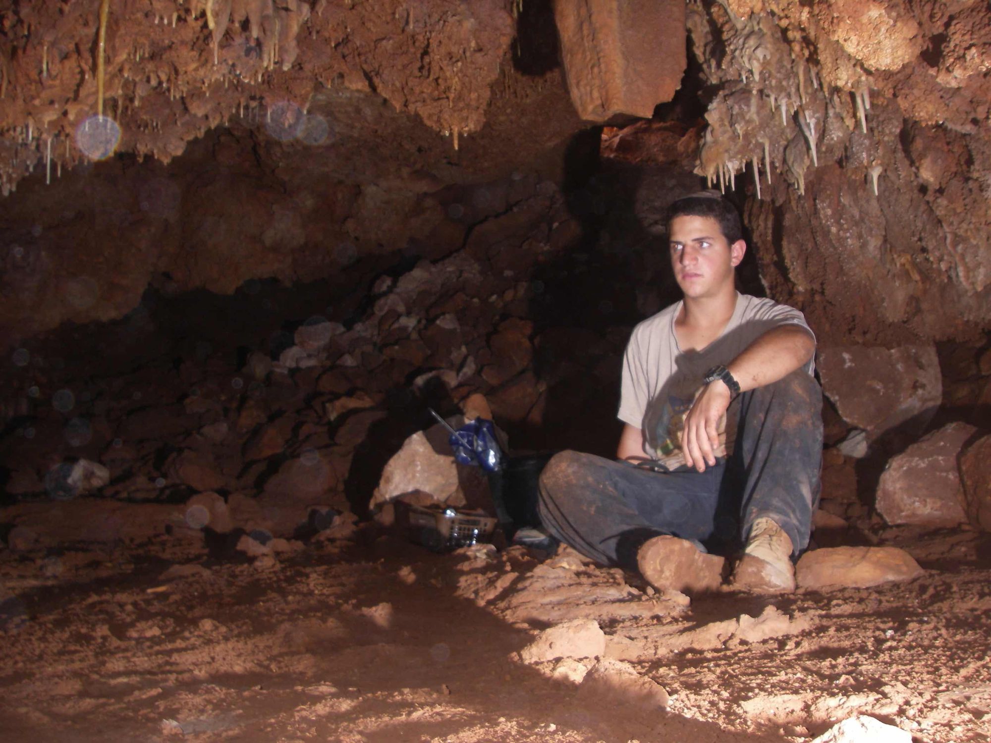
Nahal Beit Arif (Wadi el-Harub) is a medium-sized channel descending from the western edges of the mountain range westward until its junction with the huge channel of Nahal Ayalon. The upper channel of the stream descends from a local watershed line between Nahal Shilo to the north and Nahal Natuf to the south. The length of the stream, from the head of its upper channel to its end, is 15.5 km, over which it descends a vertical distance of 415 m. In its upper part the stream passes through mountainous terrain where it incises as a steep, deep, cliff-lined channel. In its lower part the stream passes through flat terrain where it continues in a gentle, shallow, open channel.
Along the upper part of the stream a number of varied karst caves were exposed, which share a common feature: their use for human needs in different periods.
Survey page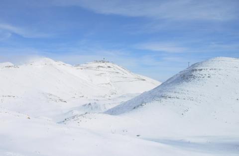
Mount Hermon Survey
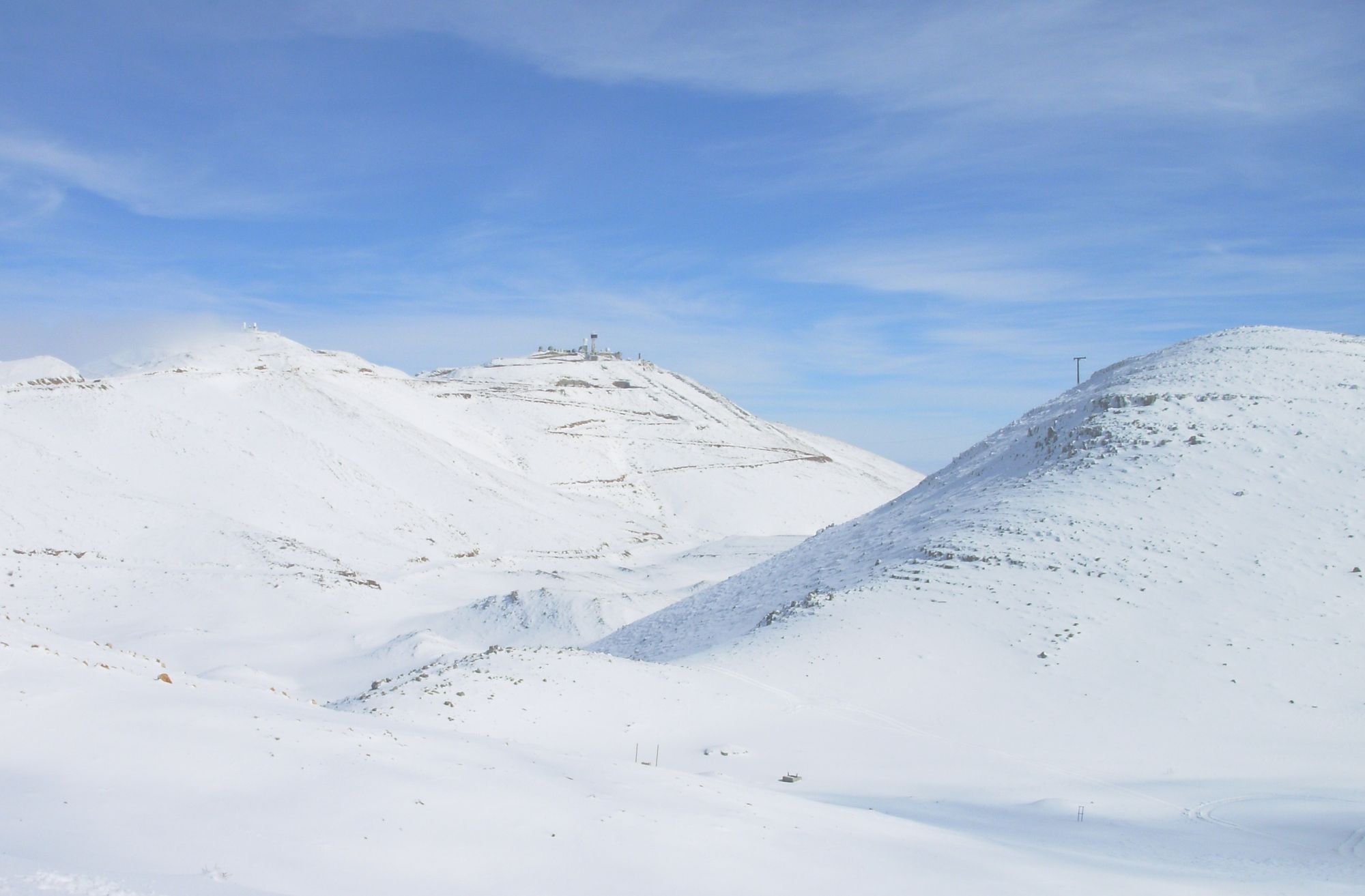
Mount Hermon is an area of alpine character whose maximum height within the State of Israel reaches 2236 meters above sea level. In the Mount Hermon area, hard limestone, high precipitation and great elevation above sea level come together. These conditions create a clear potential for the formation of varied karst caves.
Since the first Mount Hermon survey ended in 1990, the difficulties of returning to it have multiplied for security reasons. The strong desire to reach the heights of the Hermon was a kind of dream for every cave enthusiast, which could not be realized. The opportunity to reach the mountain for the sake of researching its caves, thanks to the goodwill of the Hermon Brigade and the Northern District of the Israel Nature and Parks Authority, came into our hands and led to this work.
Survey page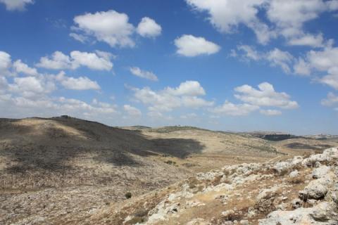
Nahal Te'enim Survey
Western Samaria
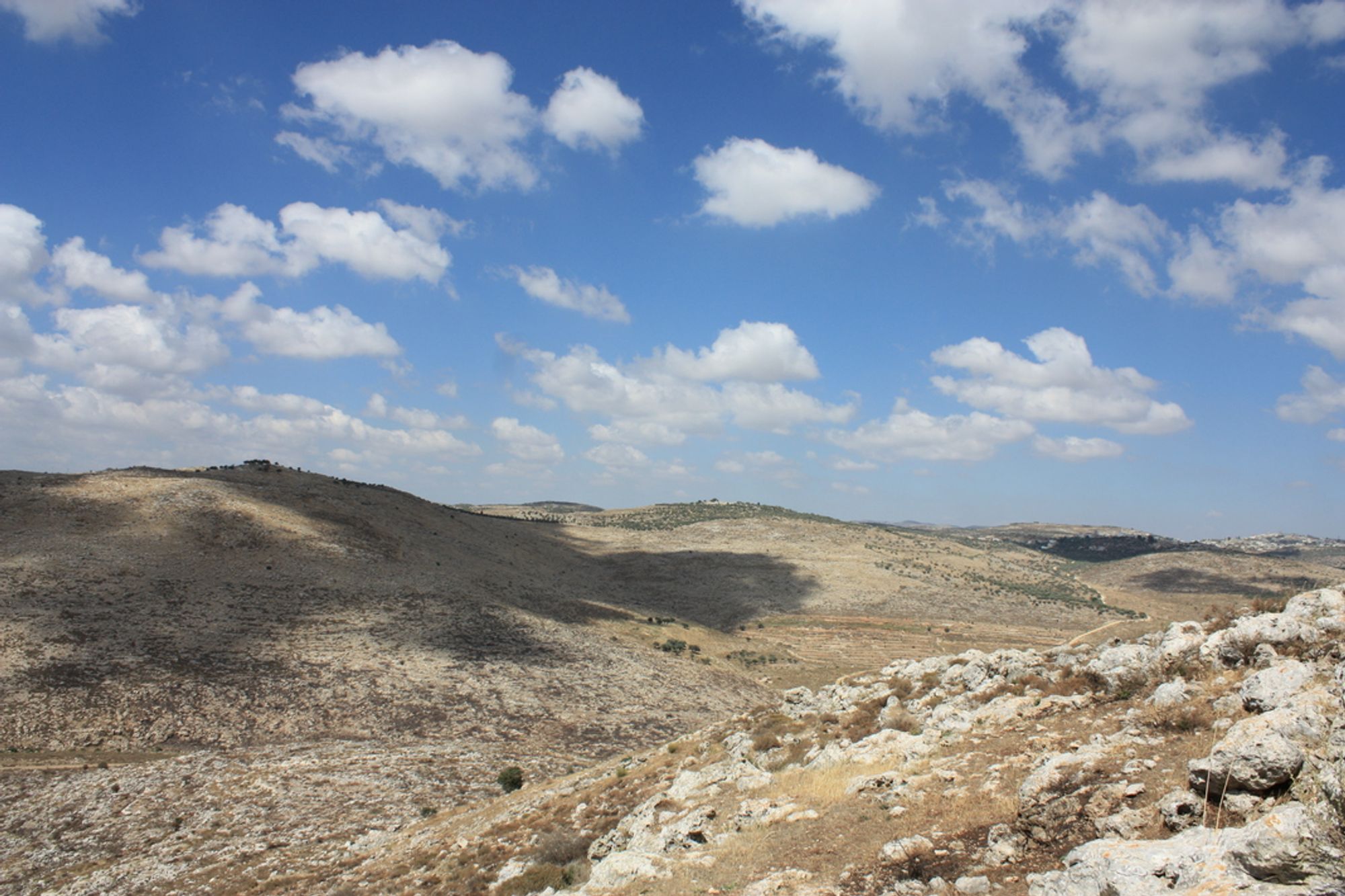
Nahal Te'enim (Wadi et-Tin) is a stream in western Samaria and one of the main tributaries of Nahal Alexander. Its sources are in the Shechem area (Mount Gerizim) and it drains into Nahal Alexander in the Be'erotayim area. The stream drains a very significant area of western Samaria, including the Beit Lid Ridge to the north and the Kedumim Ridge to the south. Since 2012 a survey has been carried out in the stream by an ICRC team.
Survey page