Znir Safarin Cave, Nahal Te'enim - Nahal Te'enim Survey, Western Samaria
- Grid ref.
- 159675/185720
- Location
- Lower Nahal Te'enim
- Elevation
- 291 m above sea level
Description of the Cave:
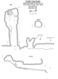
Znir Safarin Cave is a small cave (total length 15 m) consisting mainly of a single space formed in dolomite of Turonian age (Bina Formation). Rounded dissolution hollows and domes, as well as a rounded cross-section, indicate that the cave was formed as a hypogenic cave in the phreatic zone.
The cave was documented by Vladimir Boslov, Yuri Lisovich, Shemesh Yaaran and Boaz Langford in June 2013. The name of the cave was given to it because of its proximity to the village of Safarin.
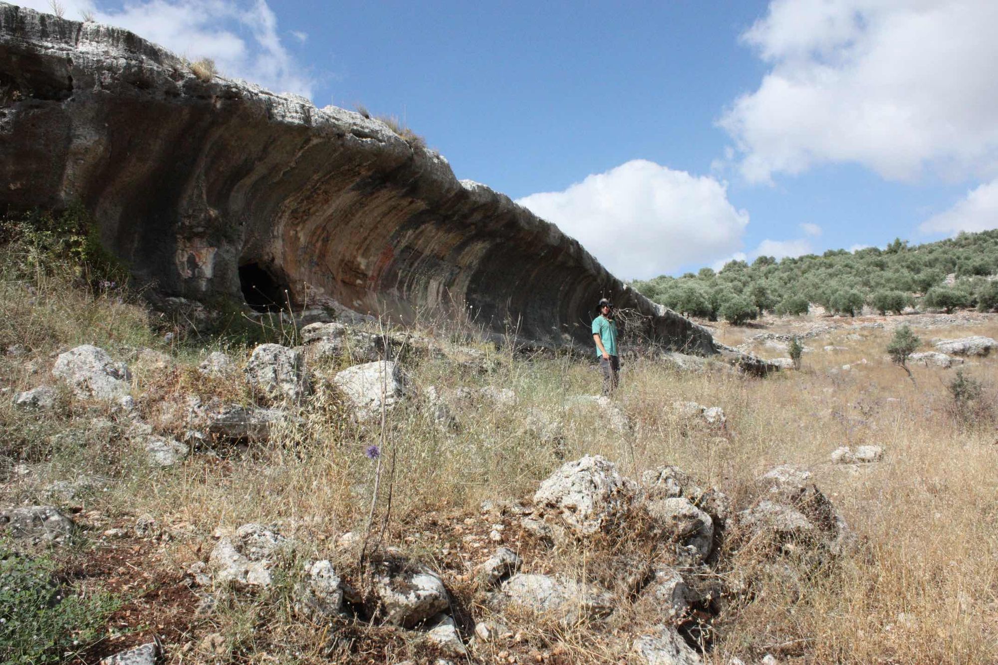
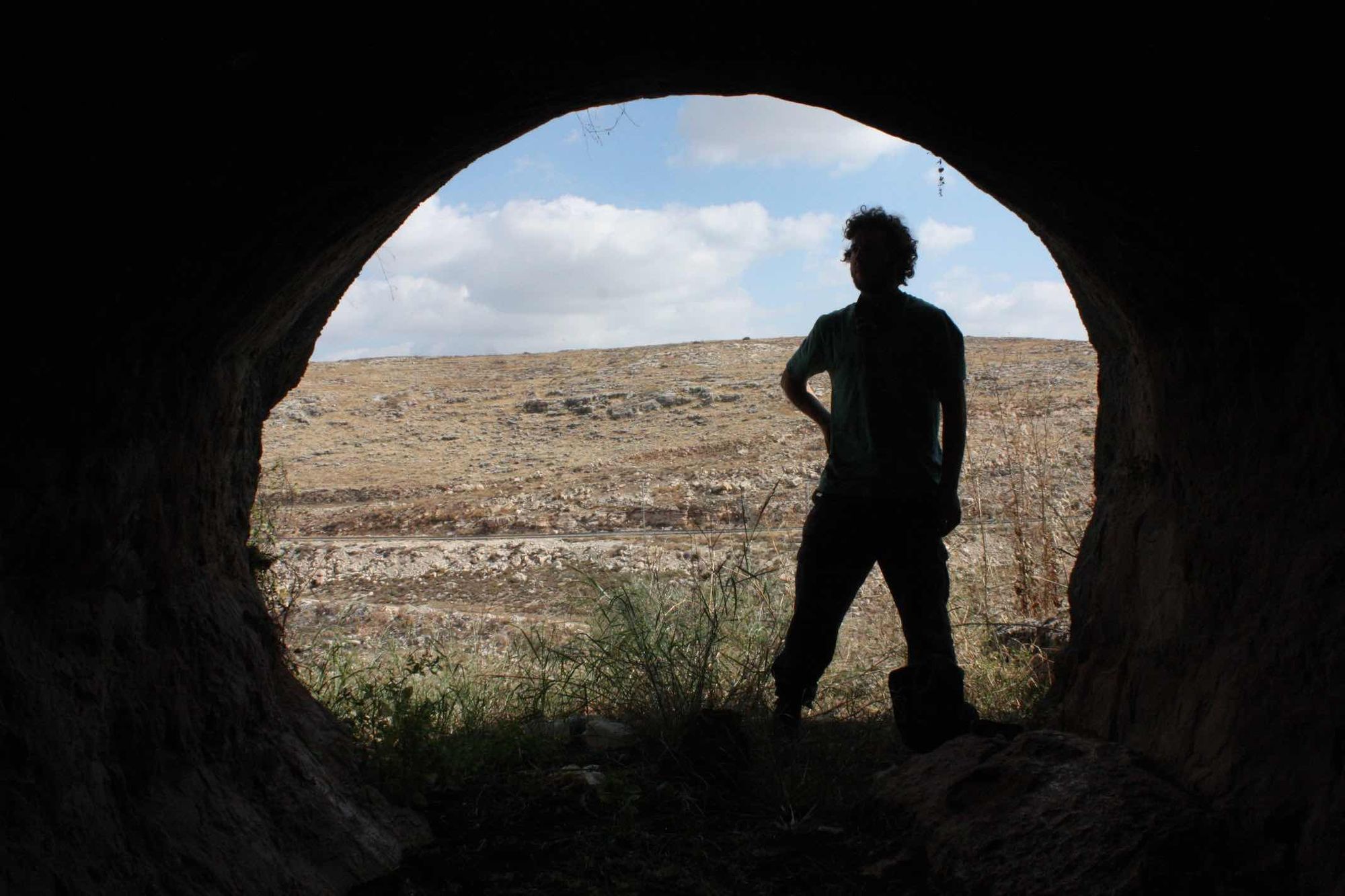
The cave has a large opening (1.9X2 m), rounded and prominent from afar. The opening is cut at the bottom of a local cliff, in the middle of the southern bank of Wadi a-Tina, which flows at its end into Lower Nahal Te'enim. The opening leads to an elongated, semi-lit passage, which extends 15 m east. The floor of the passage is horizontal and covered with dark terra rossa soil and a few stones and organic material. A more significant concentration of rocks is piled at the end of the cave, in the inner part of the passage. The ceiling of the passage is rounded and covered with a layer of black soot.
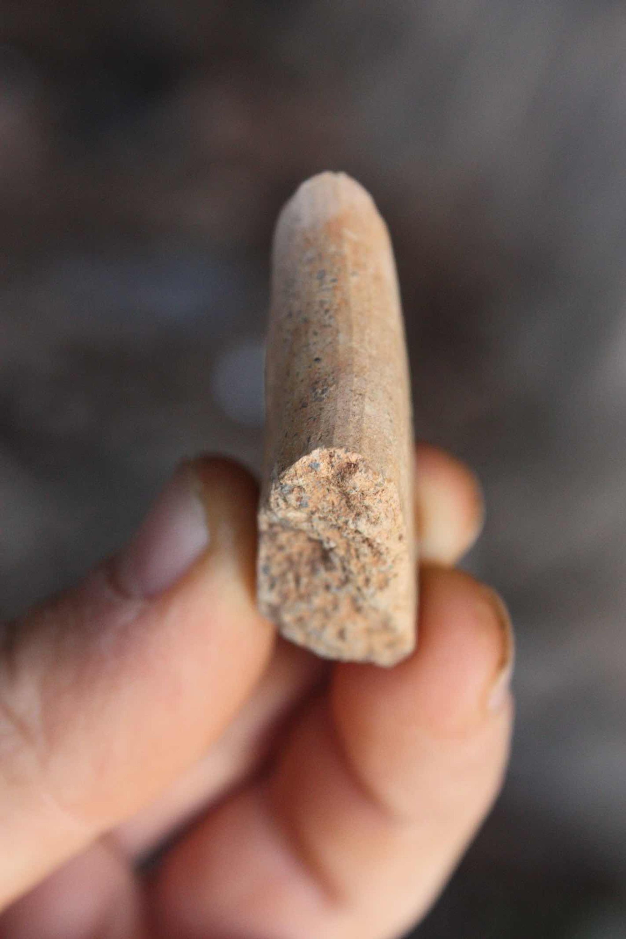
Along the northern wall of the middle of the passage extends a low rock bench, on which a concave cupmark 30 cm in diameter is carved. In addition to the cupmark, a few potsherds were found in the cave, including a single vessel rim.
At the base of the cliff, about 5 m south of the cave opening, another opening is cut, leading to a small space with a rounded outline. South of the space's opening the cliff continues as a very deep and impressive gully (znir). On the floor of the gully are carved 15 cupmarks of various sizes and also a large square basin.
Notes:
- The cave can be reached on foot from Road 557 (about 400 km).
Written by: Boaz Langford