Mount Saharon Cave
- Grid ref.
- 1425/0002
- Location
- South of Makhtesh Ramon
- Elevation
- 532 m above sea level
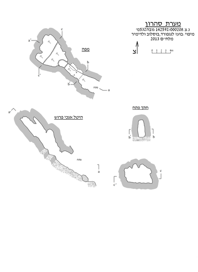 Cave mapView the map (PDF)
General:
Saharon Cave is a small cave (cumulative length 16 m and total height 11.8 m) consisting mainly of an elongated passage. The rounded outline of the cave passage, as well as the many dissolution domes opening in it, indicate that the cave was formed by phreatic-hypogenic dissolution processes that acted in limestone of Turonian age (Shivta Formation).
The cave entrance was discovered in the winter of 2011 by Shmulik Avidan. On 19.1.13 the cave was examined and mapped by Vladimir Boslov and Boaz Langford.
Cave description:
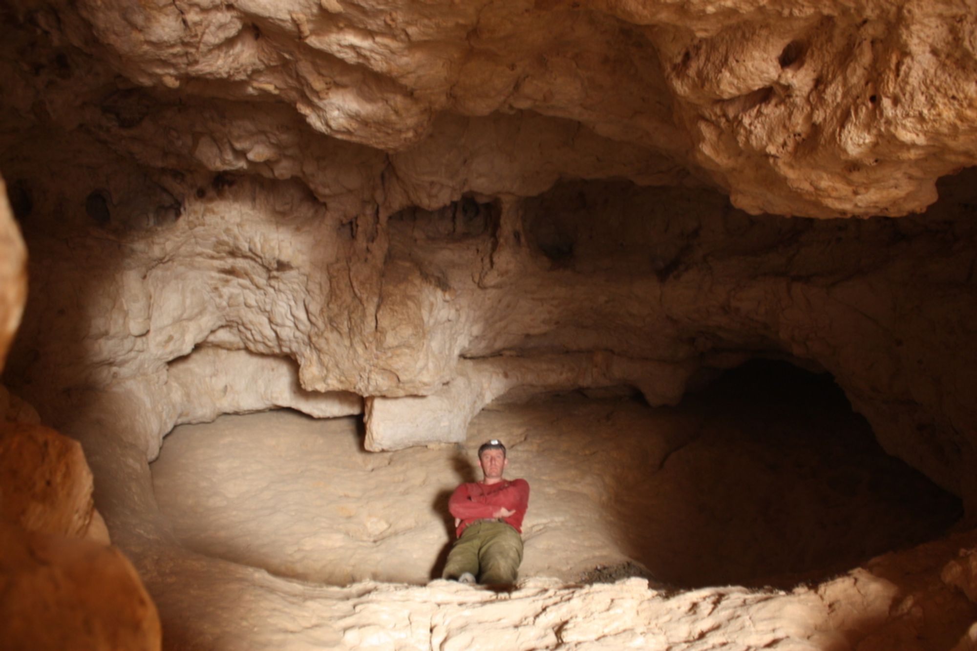
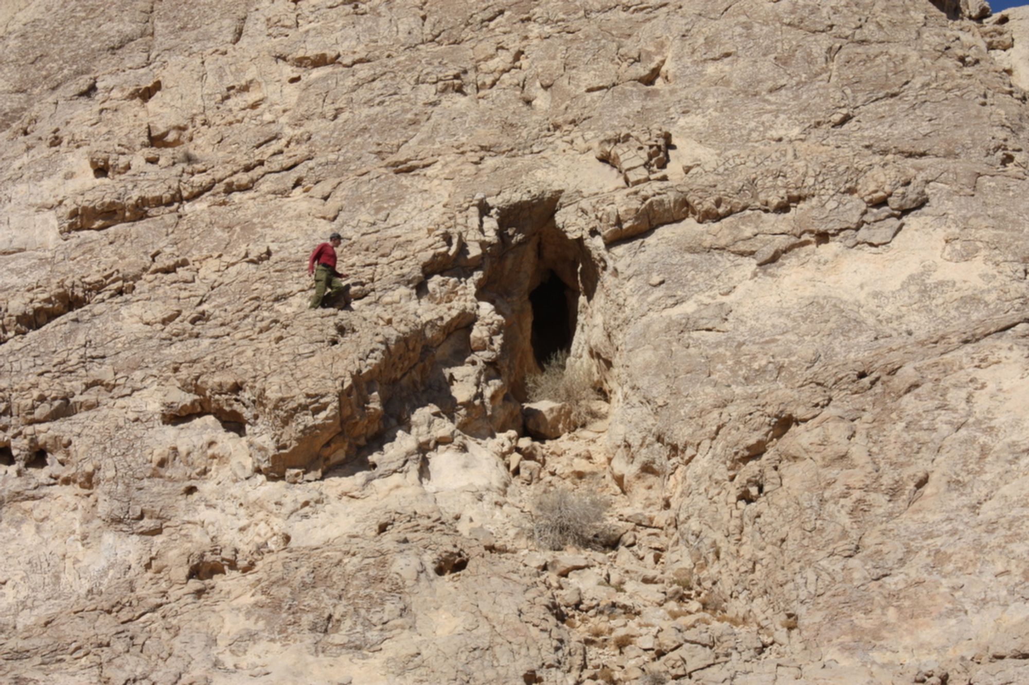
The cave has an elliptical entrance (1.5X3.7 m) that opens in the center of the sloping cliff that makes up the southern face of Mount Saharonim. The cave entrance leads to a narrow, high, semi-lit space, in whose ceiling a shallow dissolution dome opens. Parallel to and beneath this space there is a low passage extending about 2 m to the northeast.
From the entrance space a short passage extends, climbing steeply (about 40 degrees) to the northeast. At the end of the passage, about 8 m from the entrance, the passage connects to a square chamber (measuring 6X6 m) which, like the passage, also slopes steeply down toward the entrance. The chamber ceiling is weathered and slightly crumbling, which exposes the bedding lines of the rock layers in which the cave developed.
Notes:
- The cave entrance can be reached on foot along the southern slopes of Mount Saharonim.
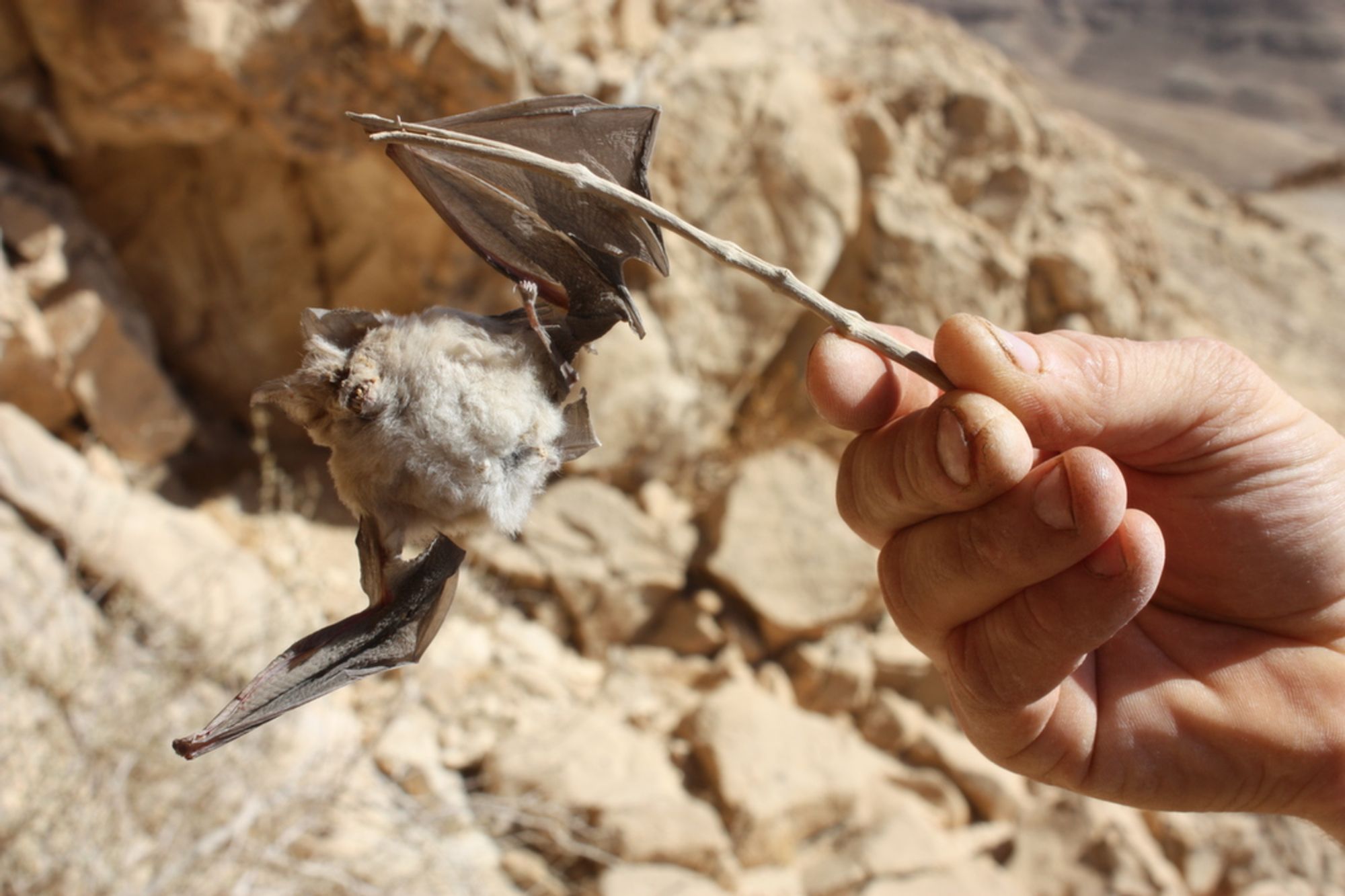
- In the cave there are cave deposits that formed from the crystallization of bat urine. At the time of the visit to the cave a fresh carcass of a horseshoe bat (perhaps a Negev horseshoe bat) was found in it.
Written by: Boaz Langford