Metzad Zohar Cave
- Grid ref.
- 182950/062061
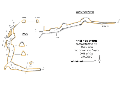 Cave mapView the map (PDF)
General:
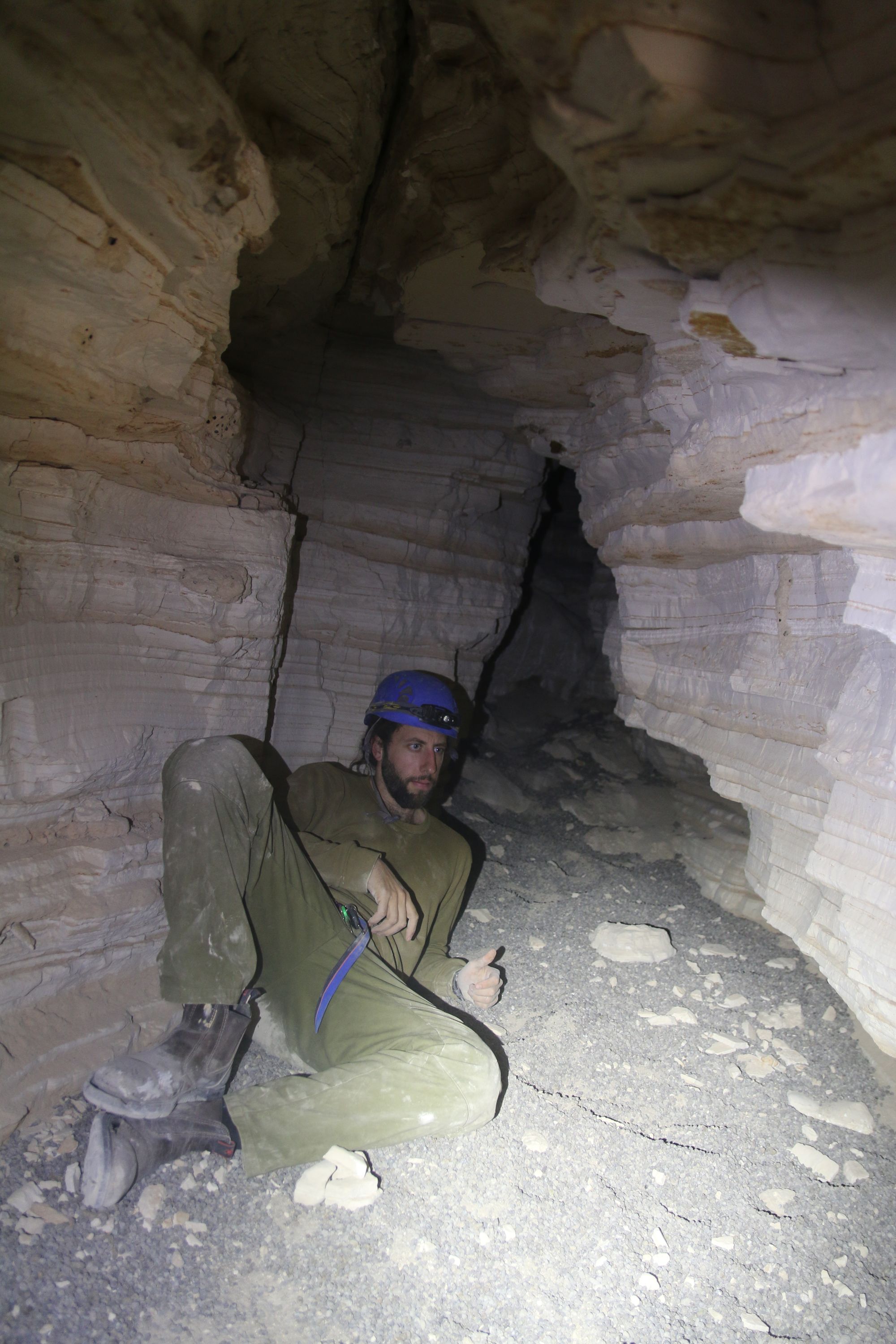
Metzad Zohar Cave is a medium-sized cave (total length 33 m) consisting of a single passage in the marly rock of the Lashon Formation. The passage was formed by mechanical erosion of material along joint planes in the rock (piping). The joint system includes a double set of fractures: system I in a general direction of 120-300 and system II in a general direction of 0-180. The joint planes are clearly visible in the walls and ceiling of the cave, with no signs of movement or faulting.
A report about the cave was submitted by Ronen Klimi, and following it the site was surveyed by an ICRC team (Boaz Langford and Ephraim Cohen).
Description of the Cave:
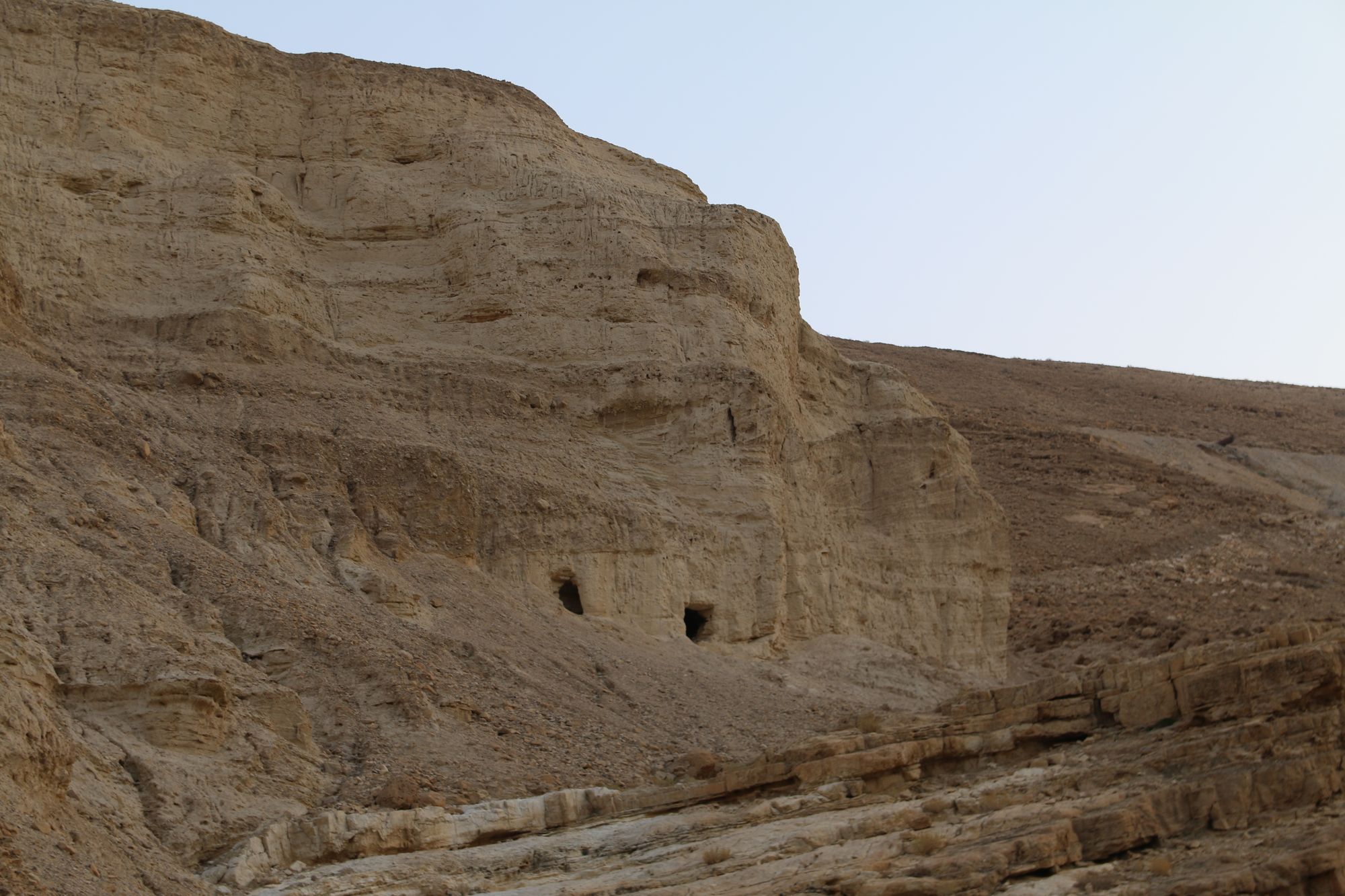
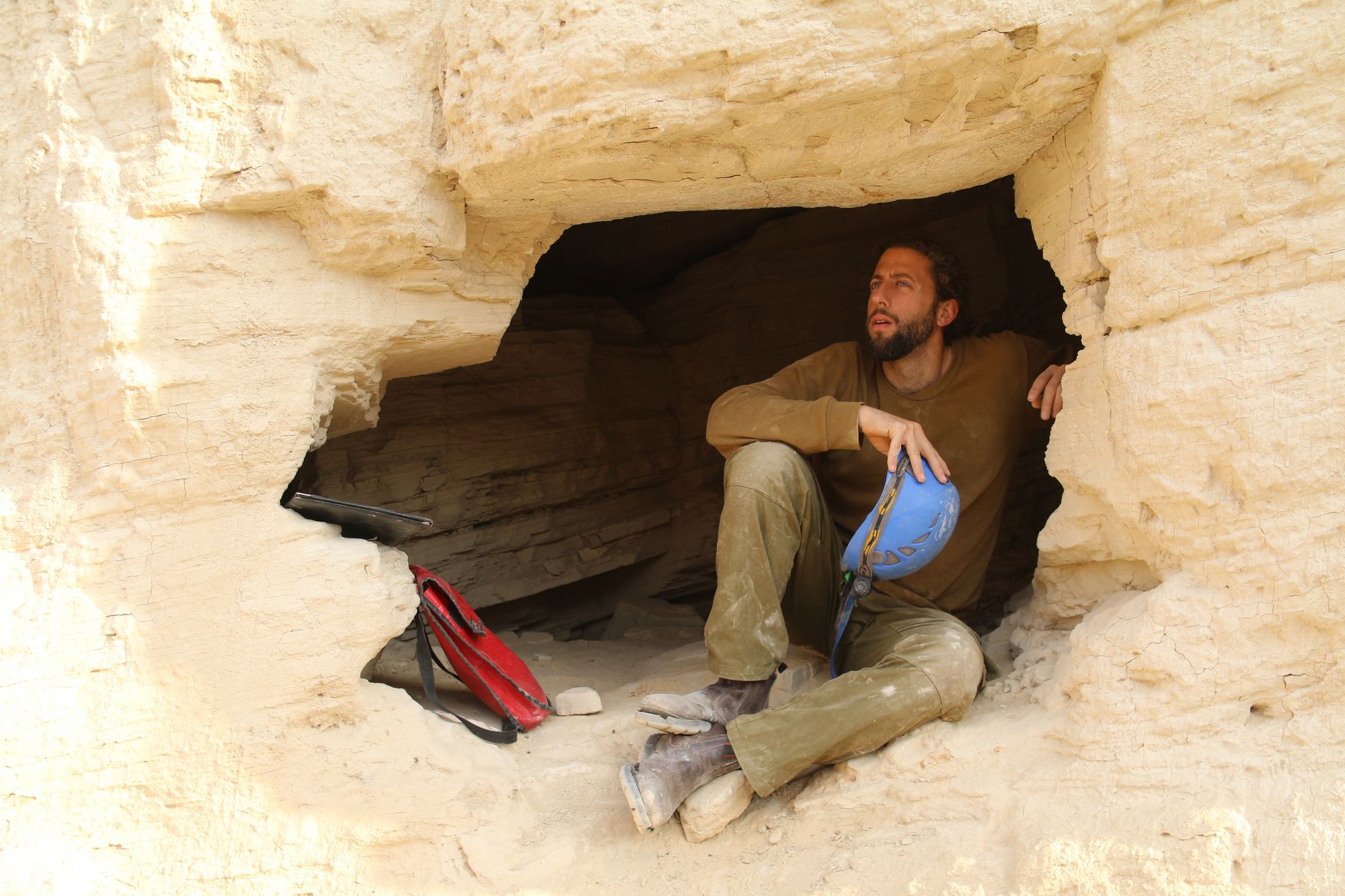
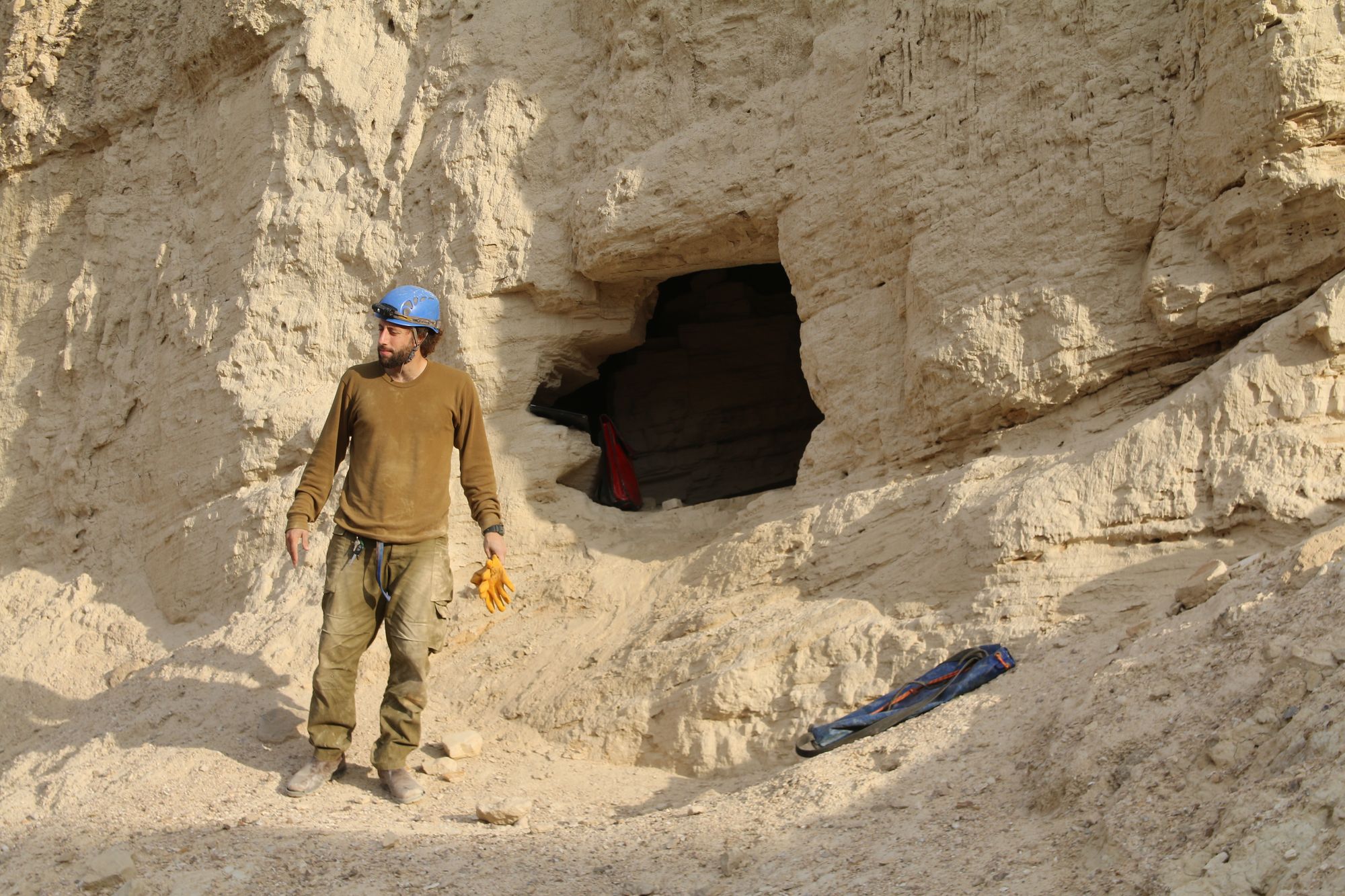
Metzad Zohar Cave has a pair of openings that stand out from afar as dark windows in the white cliff. The openings are cut in the lower part of the marl cliff south of the Metzad Zohar site, about 4-5 m above the rocks of the Judea Group. The openings have a generally rectangular shape and they are the starting point of a channel that once flowed through the cave passage. Numerous collapses and an accumulation of hyrax droppings ~20 cm thick indicate that the channel is not active today. The original outlet of the channel was through the eastern opening - opening II. Weathering of the cliff and the opening of the western opening (opening I) led to the capture of the upper reach of the channel and to the abandonment of the eastern section of the cave. This section consists of a short, winding passage that did not undergo widening or collapses, as the other parts of the cave did, which makes it possible to appreciate the character of the space as a winding channel. The area of the western opening is semi-lit and easy to access, so it became a preferred space for visitor activity and for animals that dwell in the cave. On the walls there are stains of fat and bat urine, a swift's mud nest, and also mud nests of the mud dauber wasp. Inscriptions in Arabic and Hebrew carved in the ceiling and walls attest to few visits over the last decades, the oldest inscription belonging to Arie Karin, who visited the place on 6 January 1966.
On the southern side of the opening area there is a convenient passage leading to a wide room covered with collapse rocks. The rocks originate from a ceiling collapse, which created at the site a wide collapse dome in which an alluvial unit of carbonate pebbles and sands is exposed. It appears that the local collapse was caused by the meeting of the two joint systems along which the space developed. Joint system I can be seen in the northeastern wall of the space, and the perpendicular system is the one along which the main space developed.
A wide and high corridor leads from the collapse dome southward, until it connects to another collapse dome, also at a point where fractures meet. This dome is higher than the previous one and the pile of collapse beneath it is more significant. At this point the space turns sharply and goes on to develop along joint system I. A narrow, low passage allows advancing several meters east, by difficult crawling. The ceiling of this area consists of a continuous marl layer, with a thin "coating" of a gypsum layer. The floor is covered with a thick layer of hyrax droppings, in which several arthropods dwell: one species of silverfish and two species of spiders.
Written by: Boaz Langford
Elevation: -274 m