Upper Esbar Cave - Nahal Te'enim Survey, Western Samaria
- Grid ref.
- 156152/185640
- Location
- Lower Nahal Te'enim
- Elevation
- 202 m above sea level
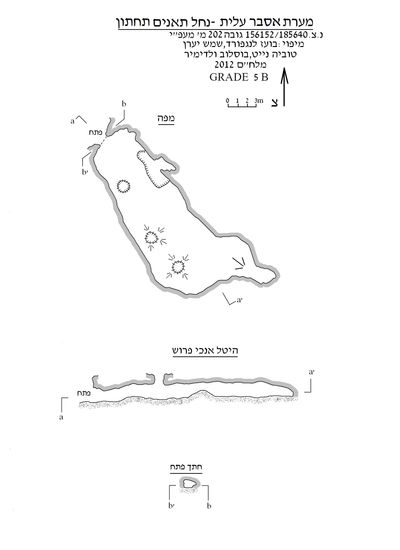 Cave mapView the map (PDF)
Description of the Cave:
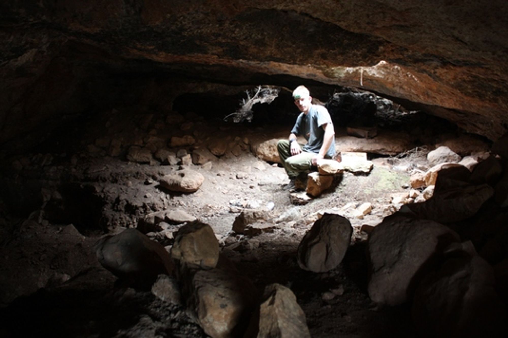
Upper Esbar Cave is a medium-sized cave consisting mainly of an elongated chamber. The total length of the cave is 33 m and its total height is 3 m. The cave was created by quarrying in weathered rock extending beneath a layer of harder rock (Sakhnin Formation).
The cave was discovered in October 2012 by Vladimir Boslov, Shemesh Yaran, Tovia Knight, and Boaz Langford, who were guided to the place by an elderly Arab man from the village of Shufa.
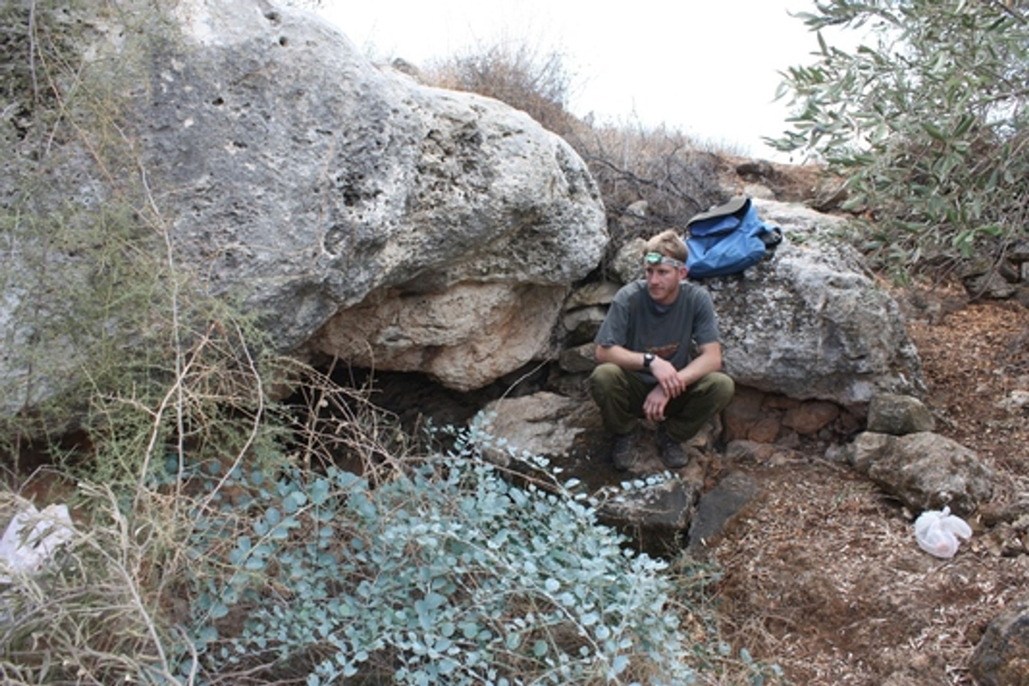
The cave has a square, weathered opening measuring 1.4X0.9 m. The cave opening opens in the upper part of the slope of the southern bank of the lower Nahal Te'enim, about 80 m above the base of the channel. The cave opening leads to an elongated chamber (measuring 24X7 m and 1.5 m high) extending along a northeast-southwest axis. The chamber floor is horizontal and covered with light, dry sediment. The cave ceiling consists of a weathered but continuous rock surface in which 3 vertical, rounded openings are cut. The openings were cut along the cave chamber, and beneath them there are piles of soil and a few rocks that entered through the openings. In its innermost part the cave chamber continues as a low niche that becomes blocked after a few meters.
Notes
- Access to the cave is possible on foot from Road 557 (about 1100 m). One can drive a 4X4 vehicle up to 100 m from the cave opening along a dirt road running in the middle of the Nahal Te'enim channel.
- No bats were observed in the cave and no guano was seen.
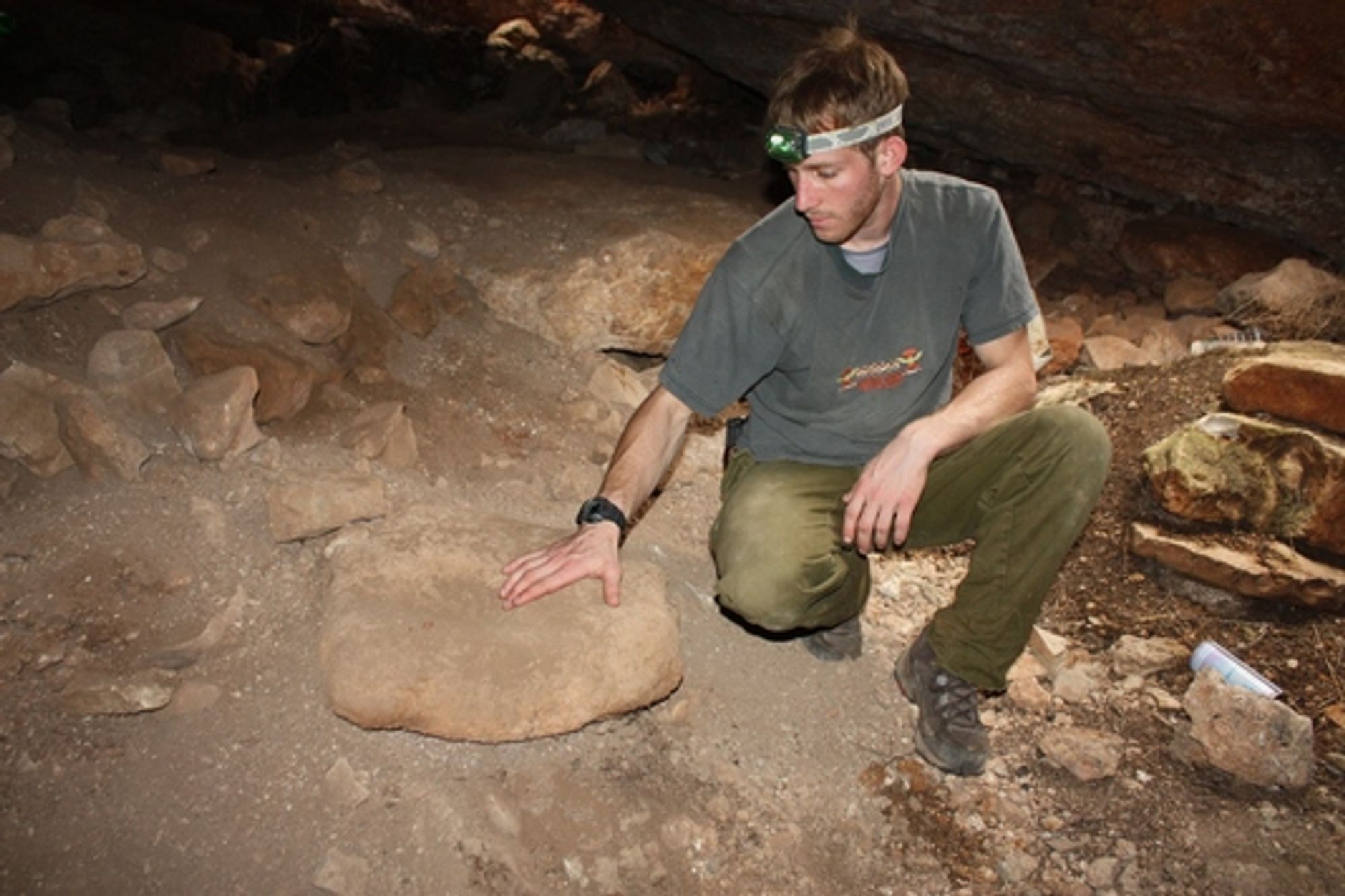
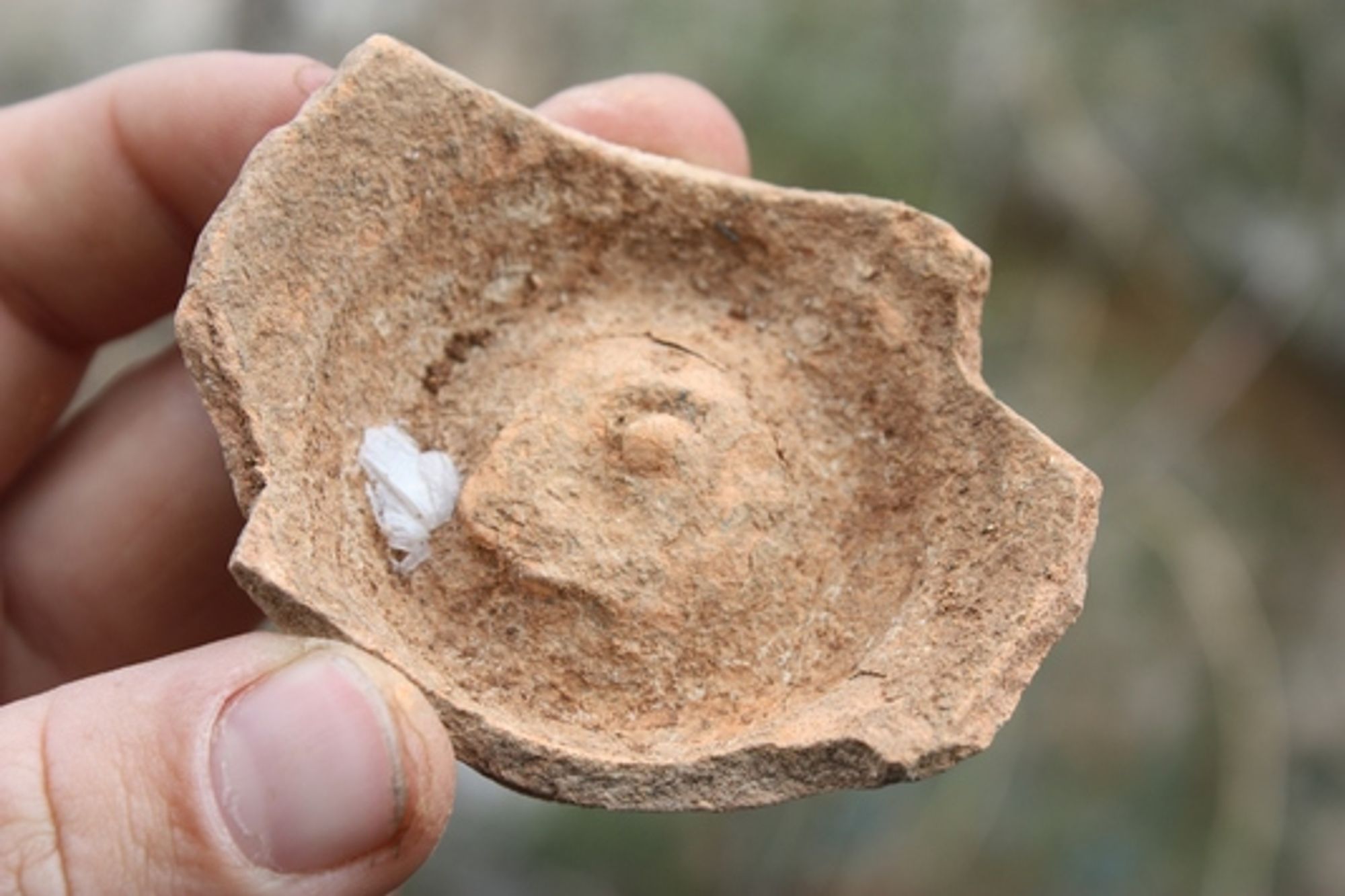
- On the northern side of the cave chamber, close to its opening, there is a square pit that appears to have been dug by antiquities robbers. Close to the pit a few pottery sherds were found.
Written by: Boaz Langford