Arara Pit
- Grid ref.
- 155449/165846
- Location
- North of the settlement of Ali
- Elevation
- 341 m above sea level
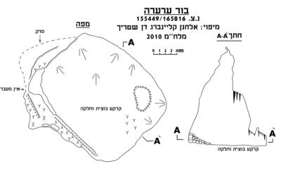 Cave mapView the map (PDF)
General description:
Arara Pit is a small vertical cave, with a central chamber, that developed in limestone of the Bi'ina Formation of Turonian age.
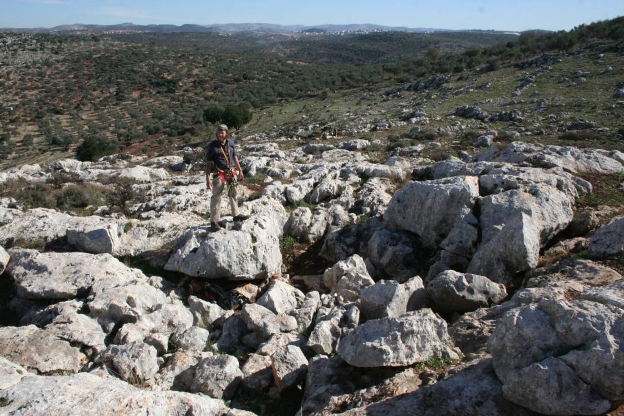
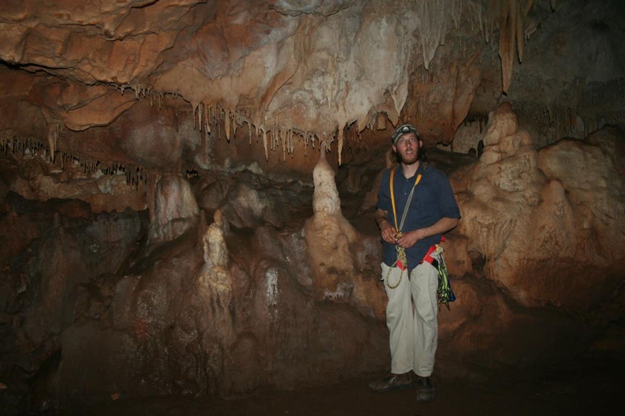
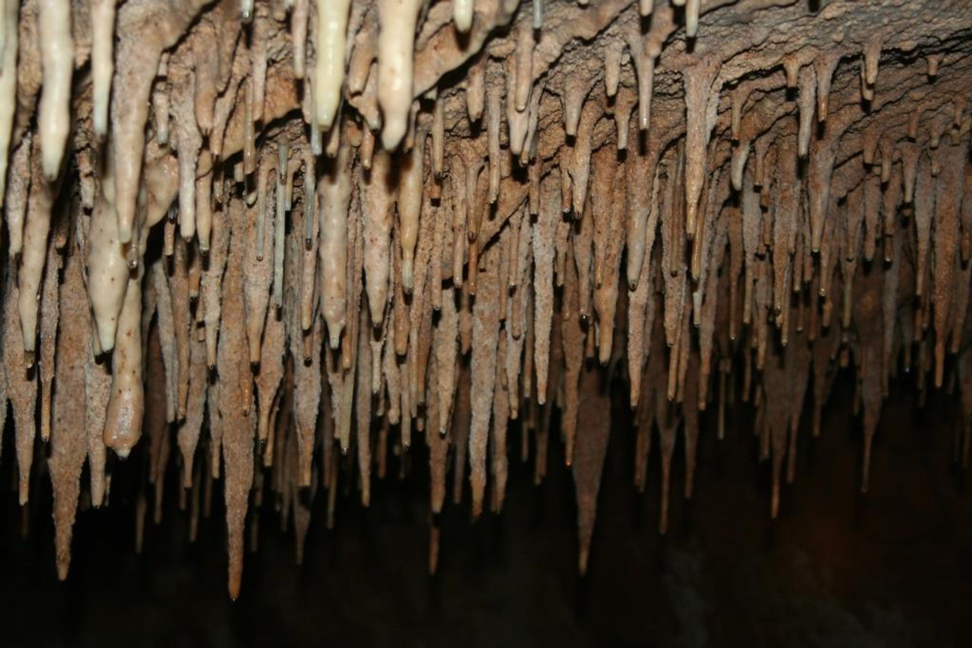
The cave entrance is located at the bottom of a rocky doline that developed on the eastern slope of a prominent topographic knoll, near Khirbet Arara. The entrance size is about 1.5X1.5 m and from it extends a wide, sloping passage, about 8 m long, slightly lit by light penetrating through the entrance. At its end this passage connects to the ceiling of a large chamber about 15 m deep and with dimensions of about 20X20 m. The chamber floor on its western side is covered by collapsed rocks forming a scree covering half of the chamber area and at its peak reaching the ceiling. On the eastern side of the chamber its floor is covered with a thick layer of mud. The chamber walls and ceiling are covered with cave deposits including: stalactites, stalagmites, elephant ears, helictites, flowstone sheets and pagodas.
Notes:
- Descending into the cave requires the help of a 30-meter rope. The rope can be anchored to the rocks filling the doline.
Written by: Boaz Langford
Gold.