Ein Tzvarim Tunnel
- Grid ref.
- 152137/220003
- Location
- Menashe Heights
- Elevation
- 125 m above sea level
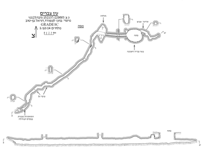 Cave mapView the map (PDF)
Description of the cave:
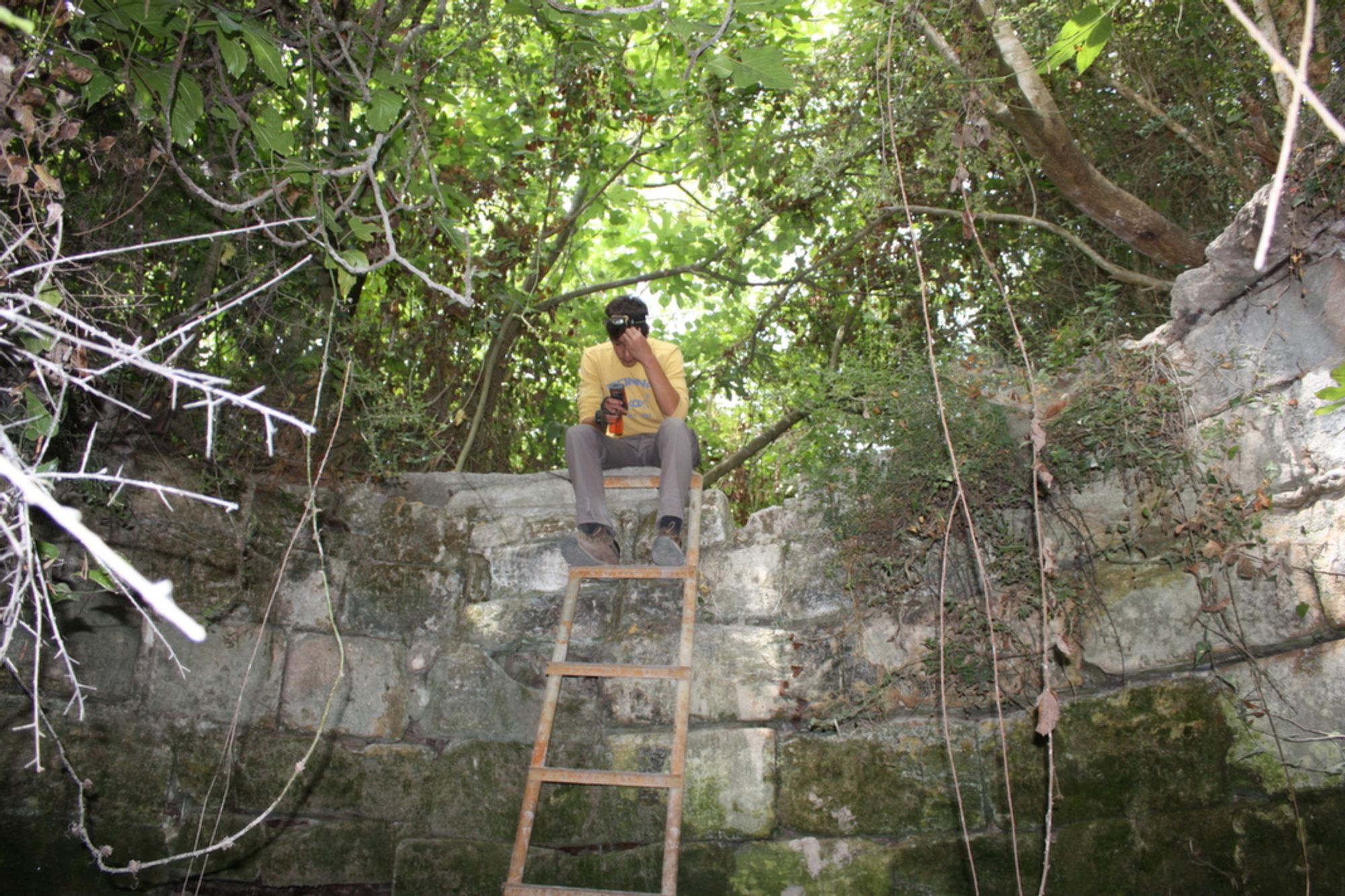
Ein Tzvarim is the name of a water source in the south of the Menashe Heights, about 1 km north of Moshav Amikam. The spring consists of a rounded well from which a pair of tunnels branch off - to the north and to the south.
The spring and its tunnels have been surveyed many times in the past (see for example in the hikers' literature: Emmanuel HaReuveni 1993, Menachem Marcus 1995), and it was even suggested to identify it as the head of the water system to Caesarea. After many visits by various ICRC teams, the Ein Tzvarim water system was finally mapped only in July 2014, by Boaz Langford and Daniel Ben Tov.
The entrance to the Ein Tzvarim water system is a built and excavated well from whose floor a pair of tunnels branch off. The well measures 4.8X4 m and is 3.2 m deep. The pair of tunnels extend from the two sides of the well - a short passage to the south and a long passage to the north.
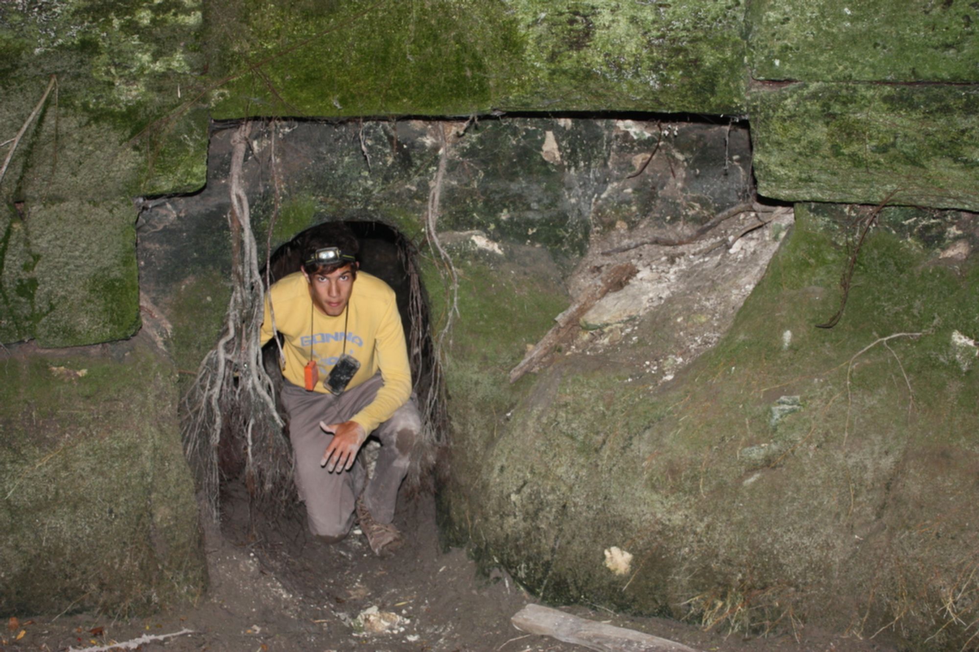
The southern passage has a small entrance (0.85X0.6 m) of generally square shape. Most of the entrance area is now blocked by thick tree roots that protrude from the ceiling of the tunnel. From the entrance the tunnel curves to the southwest, without significant change in its dimensions. The floor of the tunnel is horizontal and covered with a thick layer of mud. In the walls and ceiling of the passage there are many quarrying marks. 4 m south of the passage entrance it turns sharply to the southeast, and after about three meters it is blocked by a spill of earth that prevents further progress.
The northern passage has a rectangular entrance, higher than that of the southern passage (measuring 1.4X0.8 m). From the entrance the passage continues in a straight line to the north, with a change in its outline only in the vicinity of
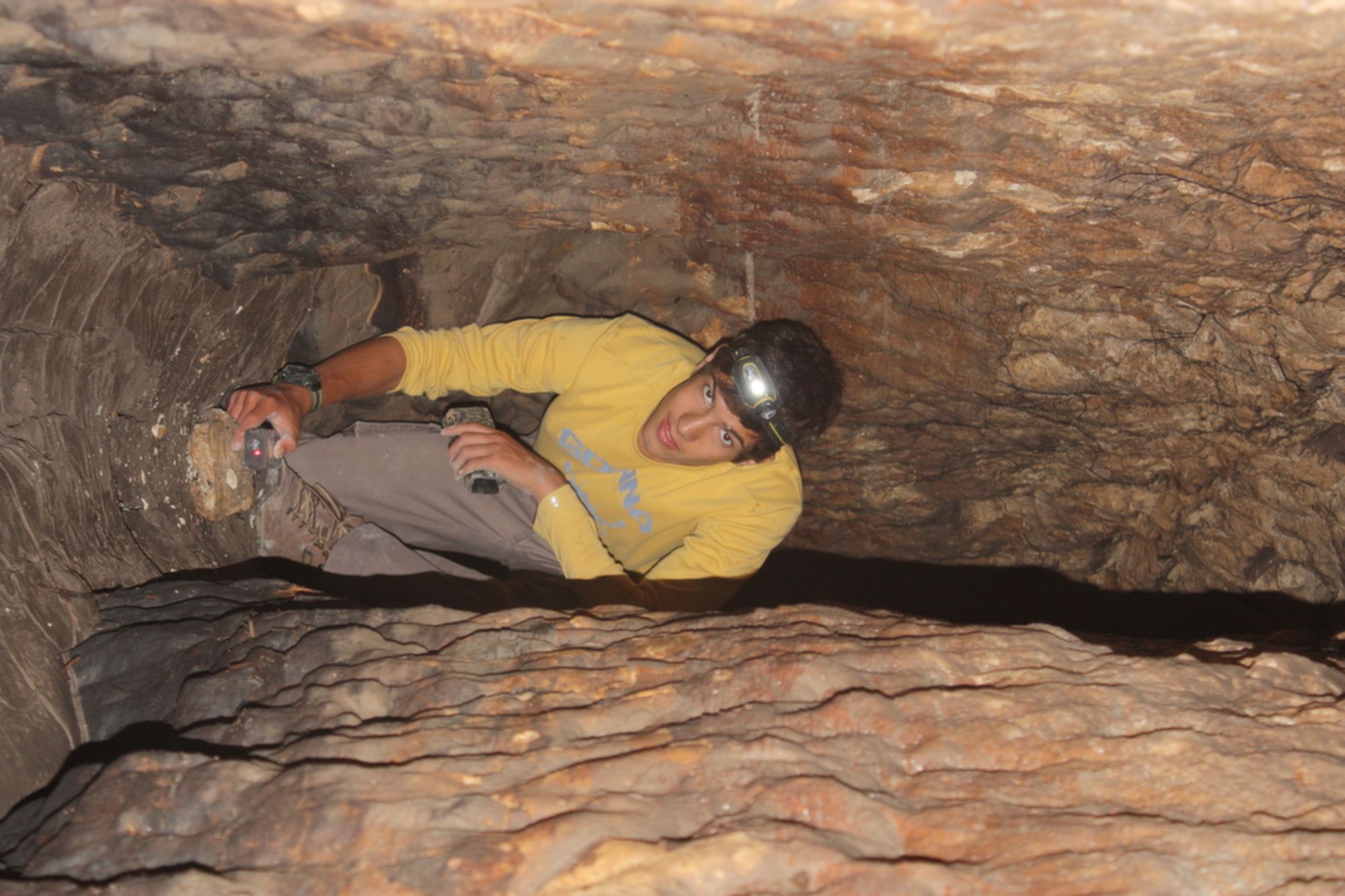
a built rectangular shaft, which extends above the level of the ceiling of the space. The shaft is 2.8 m high and 3 large ashlar stones rest on its ceiling. The floor of the passage in this section is cut in a double structure, so that the center of the floor is lower than its edges. In this way a kind of narrow channel is created at the bottom of the tunnel passage. This shaped and impressive structure is interrupted after 7 m, where the dimensions of the tunnel widen into a shapeless room whose two sides (west and east) slope toward the center of the passage. It is possible that at this point some line of weakness (fracture/fault) passes, which caused the tunnel to collapse and changed its general shape. At the northern end of the room the passage turns in a wide curve to the west and continues in a shaped, narrow and high outline. A local collapse in the northern wall of the passage, a few meters after it turns west, caused several rocks to fall and partly blocked the space of the passage. As it advances the corridor curves gently and turns to the northwest. At the point of the bend there is a shallow vertical shaft extending above the ceiling level. The space of the shaft is blocked with sediment, so passage from it to the surface is impossible. The profile of the corridor in this section is arched, and along its walls water-level lines can be seen, whose height varies through the seasons. A uniform and continuous line in the upper part of the walls does not represent the water level but the bedding plane between the chalk layers in which the tunnel was cut. A sharp bend of the tunnel appears 32 m from its entrance, where the passage turns north again. Further bends, to the west and north, are common from this point to the end of the tunnel. During these bends another vertical shaft appears. On the walls of this area there is a dark coating of thin flowstone. The presence of cave deposits in an artificial space in chalk rock is interesting. Another natural element appears in the farthest part of the tunnel. A few meters before the end of the passage the space narrows to a narrow opening that can be passed only by crawling. North of the opening, for 3 m, the floor of the passage continues, with its center running in what looks like the incision of a natural channel, descending from the inner part of the tunnel toward its entrance. Above this short section the passage is blocked by uniform sediment (it looks like dark rendzina soil) that prevents further progress in the passage.
Notes:
- Access to the spring and its tunnels is possible by driving on the dirt road (marked green) that continues from Moshav Amikam to the north.
- The descent to the bottom of the well is possible with the help of an iron ladder installed at the site.
- At times the floor of the well is flooded with water, which somewhat limits the possibility of entering the tunnels.
- In the space of the northern tunnel, snails of the genus Drachul and other unidentified snails were observed. Also observed: moths, mosquitoes, spiders, a tiny beetle, and fungi that had developed on dead arthropods. During a visit to the site in November, several individuals of an insectivorous bat of the horseshoe bat genus (Rhinolophus) were observed at the end of the northern passage. During a visit to the site in July no bats were observed, but a little guano was seen.