Three Bears Cave, Nahal Yiron, Upper Galilee
- Grid ref.
- 193748/274744 (Old Israel Grid)
- Elevation
- 593 m above sea level
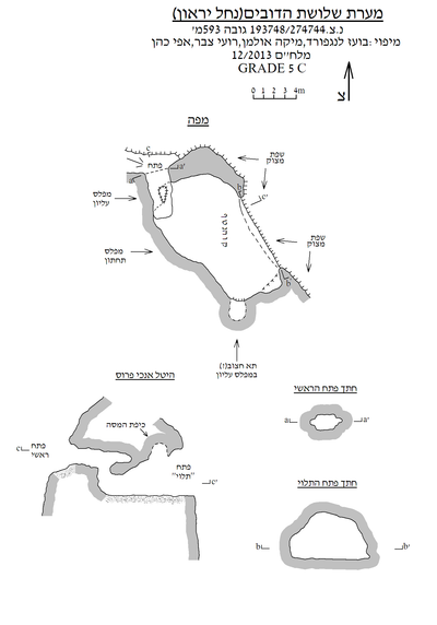 Cave mapView the map (PDF)
General:
Three Bears Cave is a medium-sized cave (total length 22 m and maximum depth 4.8 m) consisting mainly of a wide room that developed in Eocene-age limestone (Bar Kokhba Formation). Based on rounded dissolution marks, such as dissolution domes and pockets, it can be determined that the cave developed as a hypogenic cave in the phreatic zone.
Information about the cave reached the Israel Cave Research Center (ICRC) through Vladimir Buslov, who visited the place in early 2013. Vladimir came to the site following a report that appeared on the website 'Amud Anan', where the name of the cave was also mentioned. In October 2012 the cave was surveyed and mapped by an ICRC team (Mika Ullman, Roy Tzabar, Efraim Cohen and Shemesh Yaran).
Description of the cave:
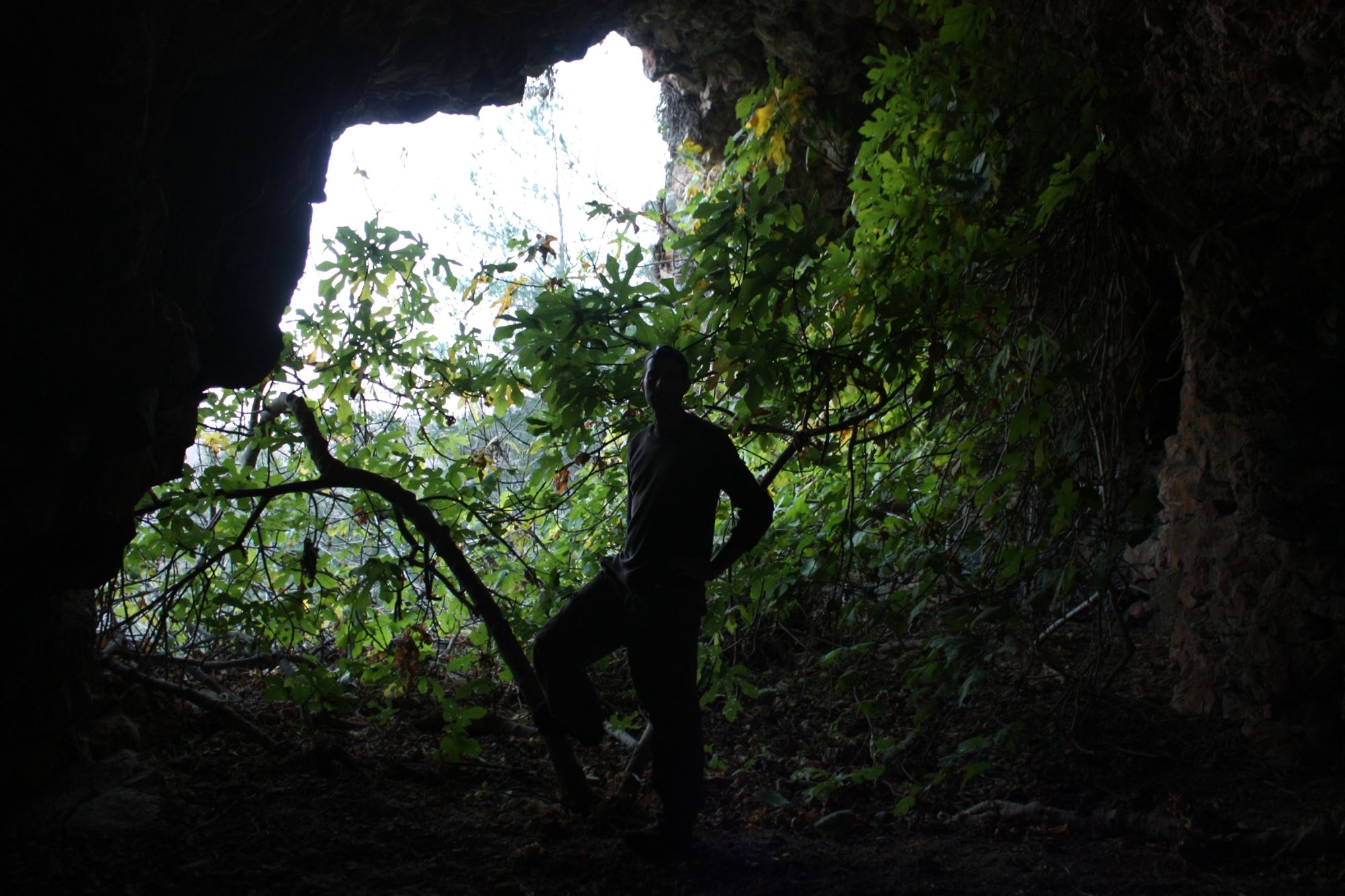
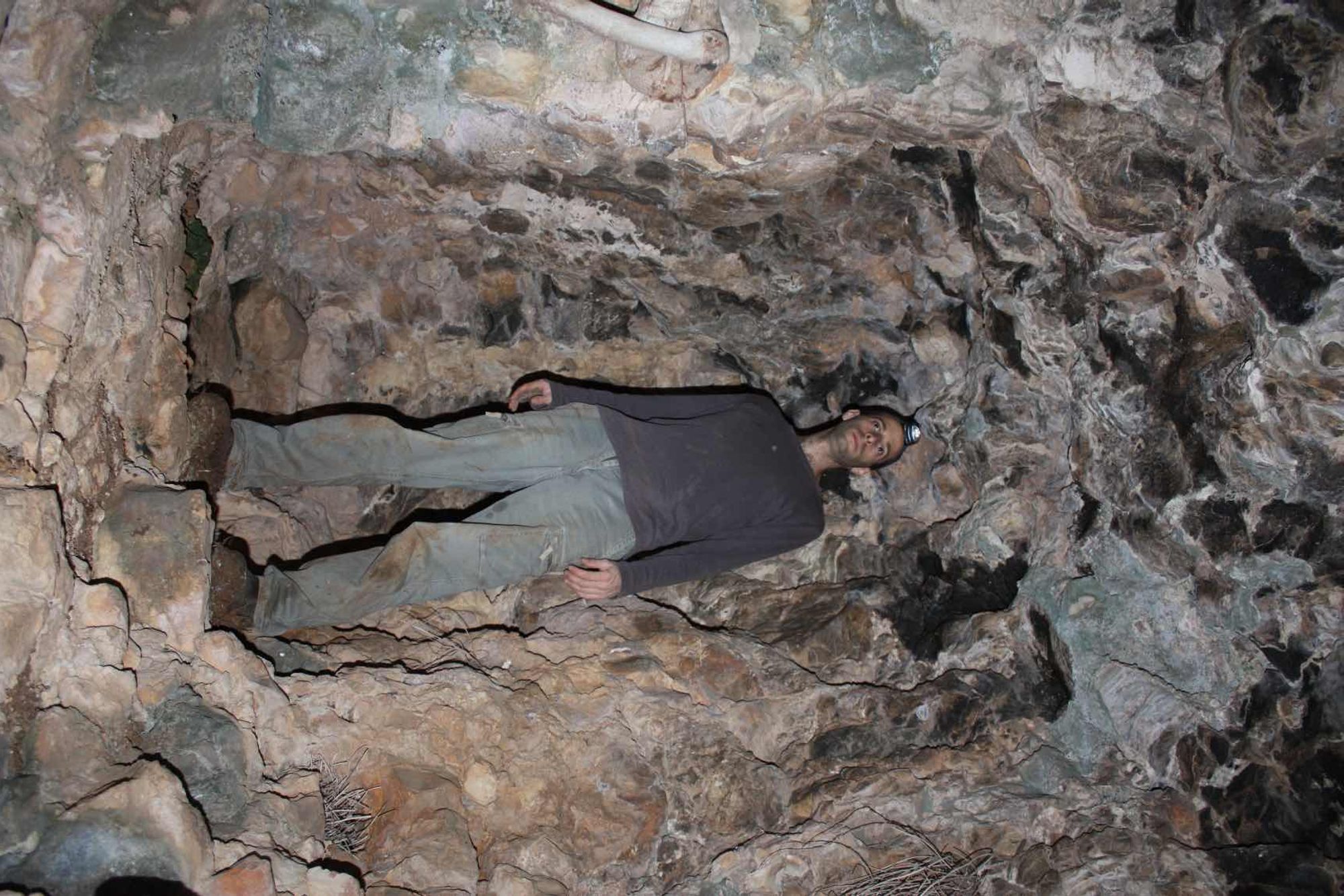
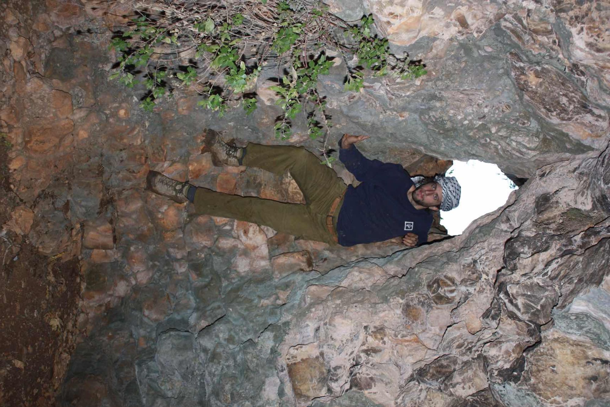
The cave has two entrances opening in the cliff on the southern bank of Nahal Yiron. The large entrance of the cave faces east, measures 7X4 m and is generally arched. Despite its size, the entrance is not conspicuous from a distance because it is hidden by several pine trees growing at the site. The small entrance of the cave faces north, measures 2.5X1.5 and is also not conspicuous from a distance. The small entrance is easier to access because its location does not depend on the height of the cliff. The entrance leads to a small, rectangular, semi-lit room, in the center of which a rounded vertical opening opens. Squeezing and descending (without a rope) through the opening leads to the northwestern side of the central space of the cave. This space consists of a square, wide room (12.5X7 m, height up to 4 m), on whose eastern side the large entrance of the cave opens. In the entrance area a large fig tree grows, which slightly reduces the abundant light penetrating the cave.
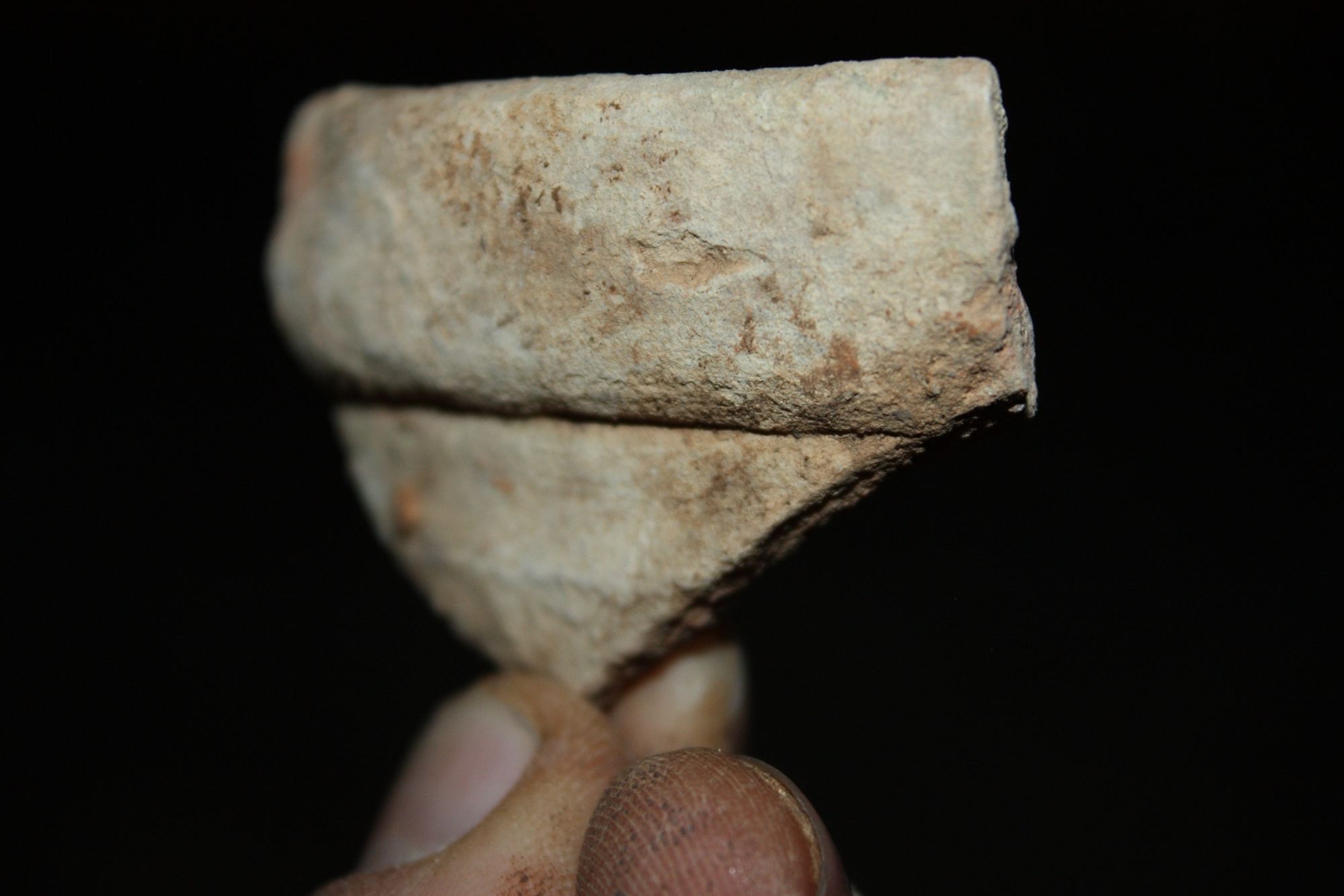
The room floor is horizontal and covered with dark sediment and many stones. The room ceiling is not uniform and in its center a shallow dissolution shaft opens. On the southern side of the room, about 1 m above its floor, a square niche measuring 1.5X2 m opens. The general outline of the niche suggests that it was shaped by quarrying or even originally quarried. Many pottery sherds scattered in the cave space perhaps support this possibility.
Notes:
- Access to the cave is possible on foot from the road that runs along the southern bank of Nahal Yiron. From the road one can carefully climb the steep slope south of it up to the cave entrance. Rolling stones down the slope may lead to a traffic accident if the rolling stone rolls all the way to the road.
- Above the cave there is another space, smaller than the one described.
Written by: Boaz Langford
Region: Upper Galilee