Teomim Cave, Jerusalem Hills
- Grid ref.
- 152036/125974
- Location
- Nahal HaMe'ara
- Elevation
- 375 m above sea level
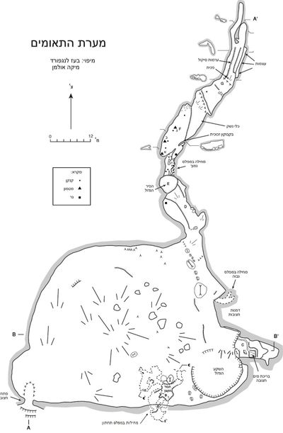 Cave mapView the map (PDF)
General and Geology:
Teomim Cave is a large cave on the northern bank of Nahal HaMe'ara, at the level of the stream bed. The cave formed in massive dolomitic limestone of the Cenomanian Vradim Formation, in the western flexure of the Ramallah Anticline.
The beds dip 22 degrees to the west. Similar caves in a similar geological setting are known north of Teomim Cave, on the slopes of Nahal Sorek (the Sorek and Samson caves).
The morphology of the cave (smooth walls and ceiling, dissolution domes) indicates that it formed as an isolated cave (with no connection to the surface) below the water table.
Aggressive water apparently rose from great depth through the Large Pit (E) and spread from its top to both sides, toward the entrance chamber and toward the refuge section. Collapse blocks smoothed by dissolution indicate that massive collapse already took place when the void was flooded with groundwater.
Large stalagmites on top of the collapse blocks also indicate that the collapse is ancient.
The cave drained of groundwater following the uplift of the Judean Mountains, and then the deposition of speleothems (chemical cave deposits) began, most of them concentrated in the entrance chamber.
The cave opened to the surface when Nahal HaMe'ara incised and cut through the chamber at its southwestern end. The absence of archaeological finds earlier than the Neolithic suggests that the opening of the cave took place at the end of the Pleistocene, or that the entrance to the cave was originally vertical and prevented hominids from entering it.
Description of the Cave:
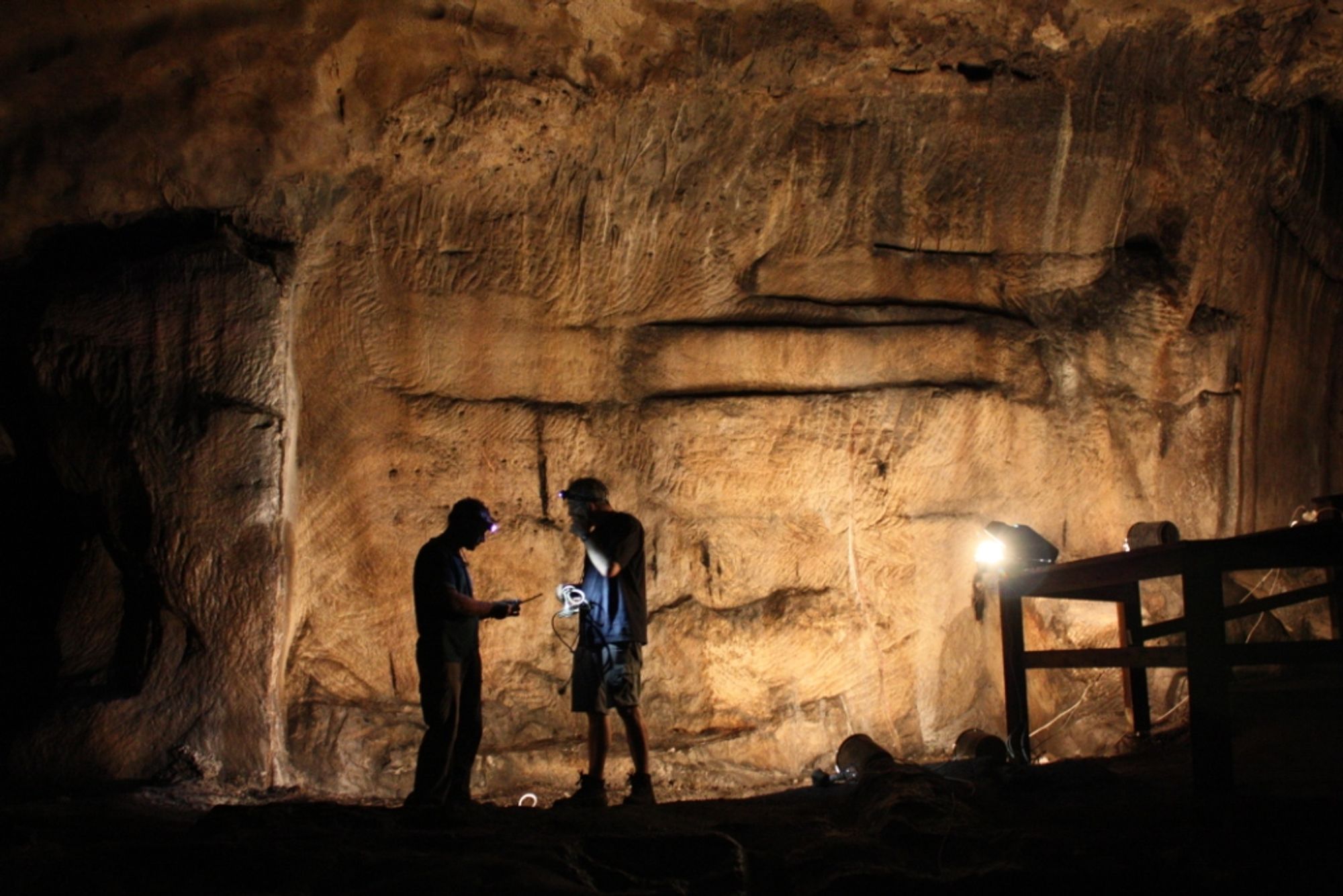
The cave consists mainly of a wide chamber, about 60X60 m in size and with a typical height of 10 m. The entrance opening is on the southern side of the chamber, about 3 m above its floor.
Wooden steps built there make it possible to overcome this height obstacle. Most of the area of the chamber is covered by a huge pile of rocks that apparently originated in a collapse of the cave ceiling in the past (clear signs on the ceiling). The pile is mostly covered with compacted soil and guano, and stalagmites and columns have developed on it at various points. In this pile of rocks there are several openings that give access to spaces between and beneath the pile, for example adjacent to the southern wall of the cave, east of the entrance opening, in the middle of a scree slope, and in passages that extend beneath the pile of rocks and whose opening is in the northern wall of the Small Pit.
The Small Depression (and the Large Depression) is a closed depression on the southern side of the chamber, bounded by collapse rocks, columns, and stalagmites. This depression (and the Large Depression) lies at the lowest point in the chamber, and its floor may be the original floor of this chamber.
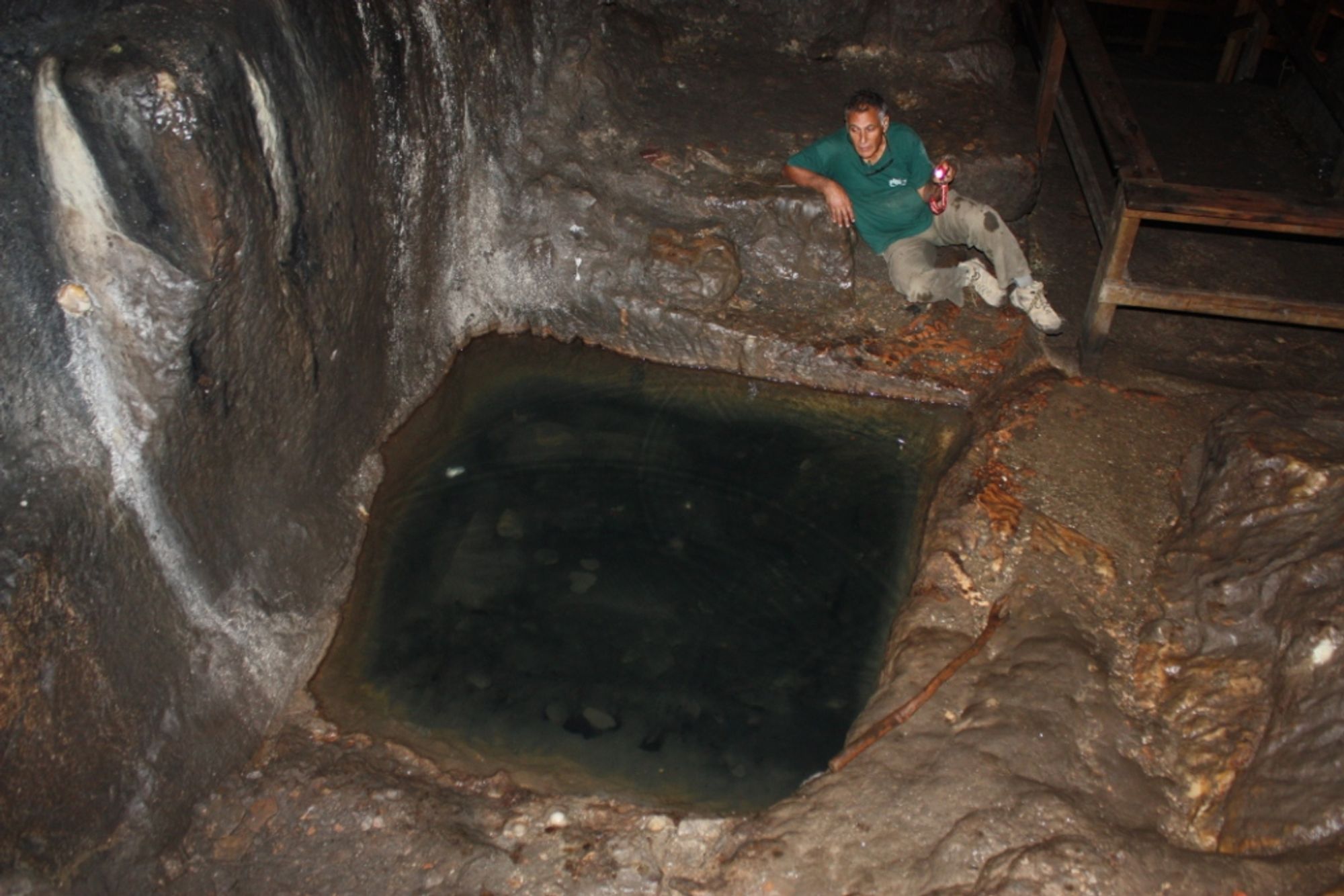
In the southeastern corner of the chamber there is a small karstic void that was enlarged by quarrying (C). Its floor level is higher than the present floor of the chamber, and it contains active cave deposits. A square pool was cut into the floor (the pool measures about 2X2 m and is about 0.5 m deep), into which water dripping from the cave roof drains. The pool water flows out through a rock-cut channel and descends westward by a step. Today the water soaks into the ground, but in the past it collected in a built pool.1 From this point northward the eastern wall of the cave was straightened by quarrying. A channel was cut into this wall that once carried water to the pool, and it became blocked over time with speleothems. Additional channels, a few meters long at most and 5-10 cm wide and deep, were cut at various places in the entrance chamber (marked with a double line on the cave map), in order to collect dripping water into pools or storage vessels.
On the northern side of the chamber, among stalagmites and columns, there is a wide passage leading to a wide, high passage that continues north (D). Further along this passage (about 20 m from the chamber) the passage is interrupted by a wide vertical shaft (E) that extends about 3 m above the passage ceiling and about 15 m below its floor.
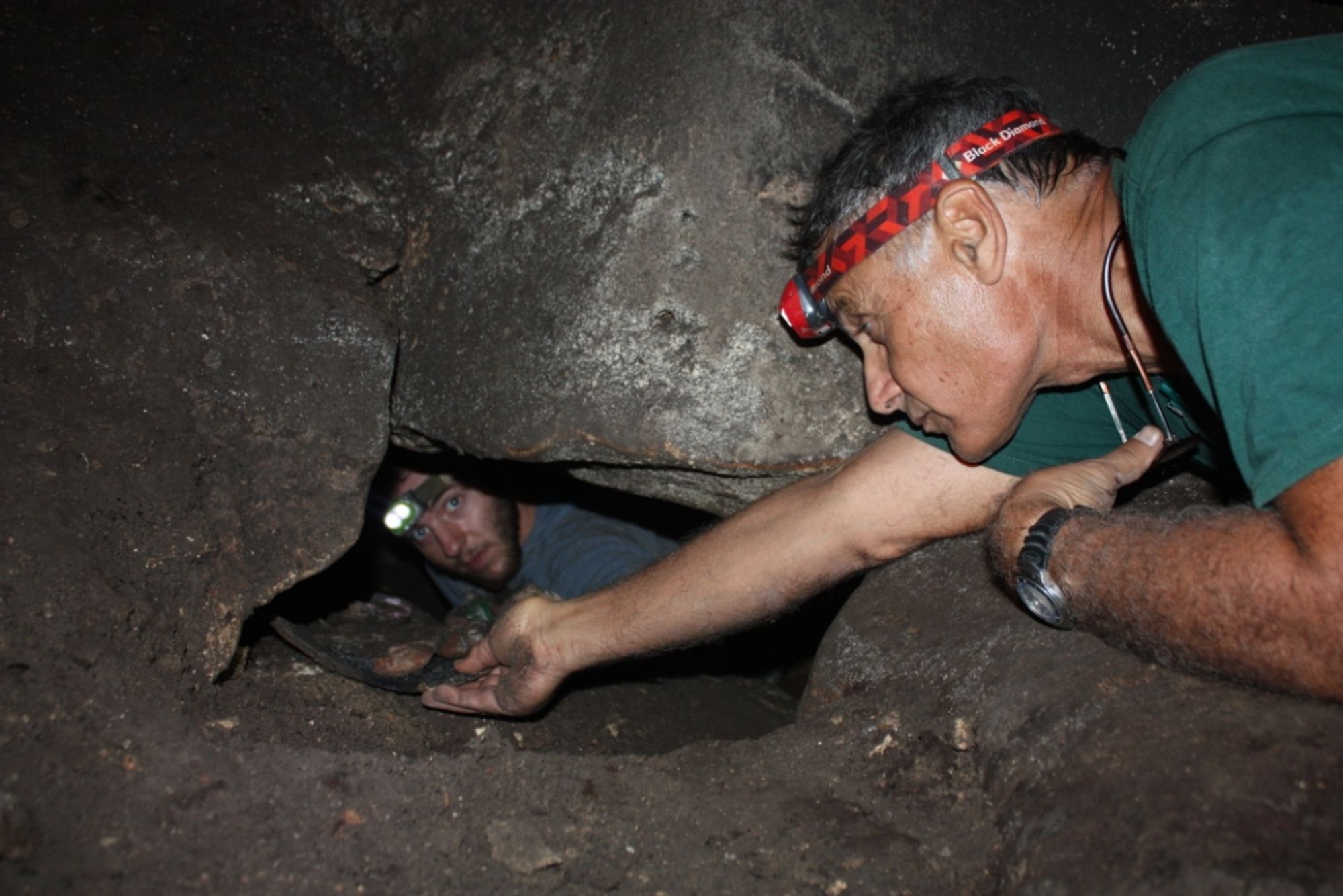
On the far side of the chimney, at the height of passage D, there are three narrow openings, difficult to access, leading to a narrow passage that continues north on two levels that join together and lead to a wide space - space F+G.
This space is elongated in a north-south direction, and most of its floor is covered with collapse rocks, mud, and guano. The outer part of this space (G) is damper and has many active cave deposits, in contrast to the inner part of the space, which has almost no cave deposits and a dry environment.
Research History of the Cave:
In the 19th century the cave was called by the local inhabitants "Umm et-Tuweimin Cave" (Mŭghâret Umm et Tûeimîn, meaning "Cave of the Mother of the Twins").
The first comprehensive study in the cave, which included a verbal description and a fairly detailed map, was carried out by the PEF (C.R. Conder and H.H. Kitchener), on 17 October 1873.
At the northern end of the cave the researchers came across a very deep shaft (hereafter "the Large Pit").
The researchers did not descend the shaft and did not locate the continuation of the cave to the north. The description of the cave reports traditions and customs of the local fellahin, who attributed healing powers to the water of the spring flowing in the cave. The fellahin also told the survey members a tale about the throwing of treacherous women to the bottom of the shaft.
In the late 1920s the French consul in Jerusalem, René Neuville, conducted excavations in the cave floor and found pottery, bone, and stone. These finds were dated to the following periods: Neolithic, Chalcolithic (Ghassulian culture), Early Bronze Age I (?), Middle Bronze Age II (?), Iron Age, Roman, and Byzantine.
Between 1970 and 1974 the cave was studied by Gideon Mann, on behalf of the Society for the Protection of Nature. Mann focused on mapping spaces beneath the large collapse pile in the chamber, and on examining "the Large Pit", and discovered in its wall the passages leading to the inner section.
Mann mapped the section and collected finds, such as pottery and glass vessels, which were dated to the Byzantine period. Since 2009 the cave has been studied by the Cave Research Center and the Department of Archaeology at Bar-Ilan University (led by Prof. Boaz Zissu and Prof. Amos Frumkin).
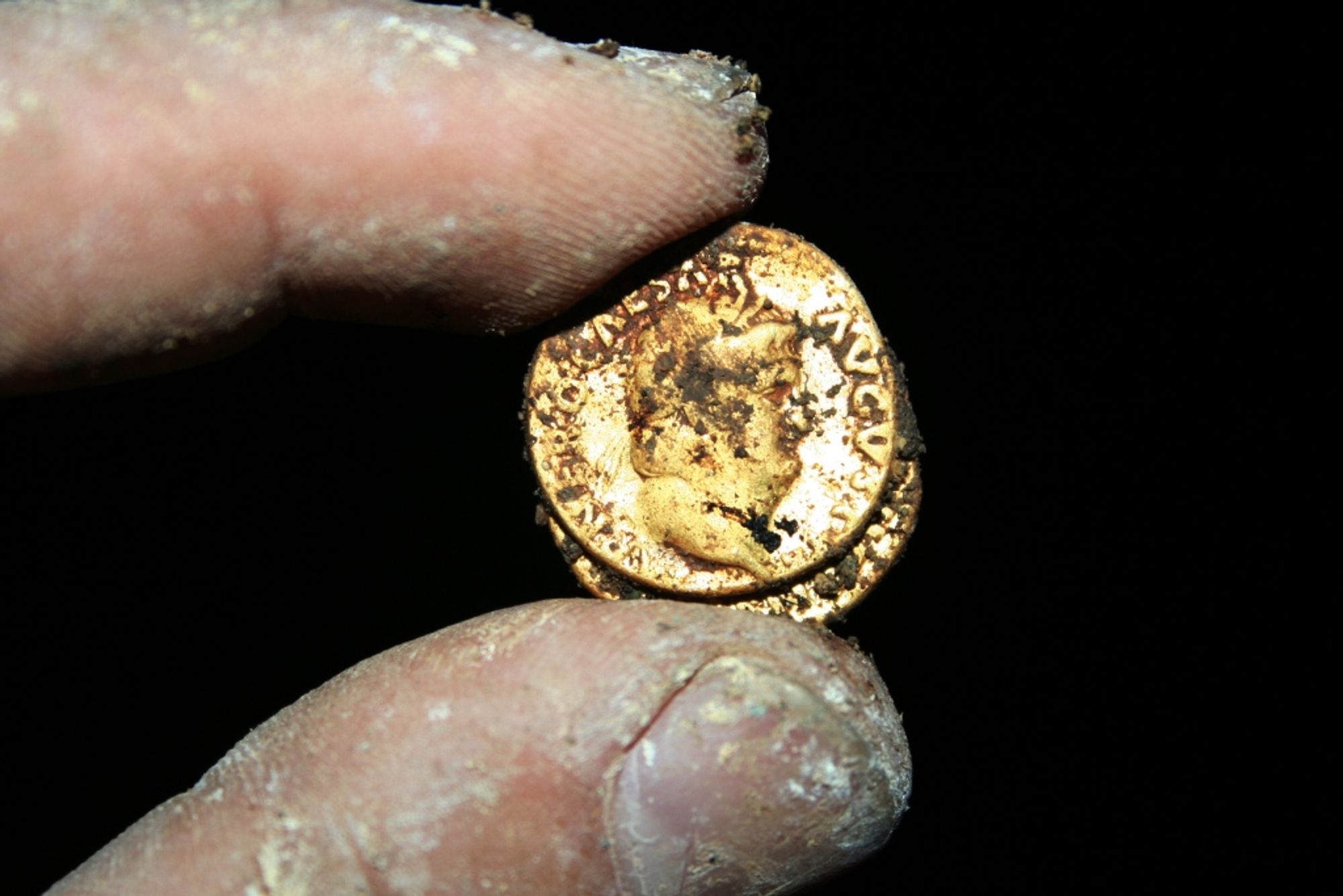
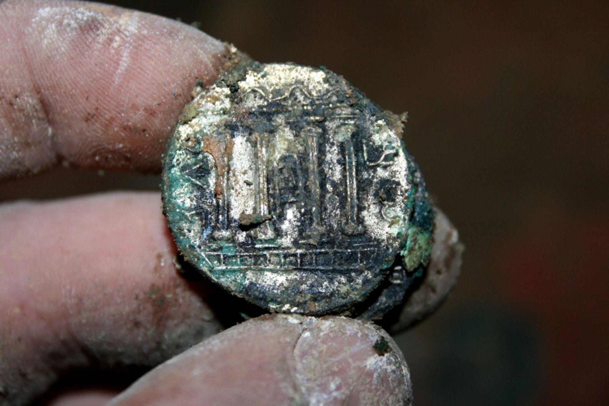
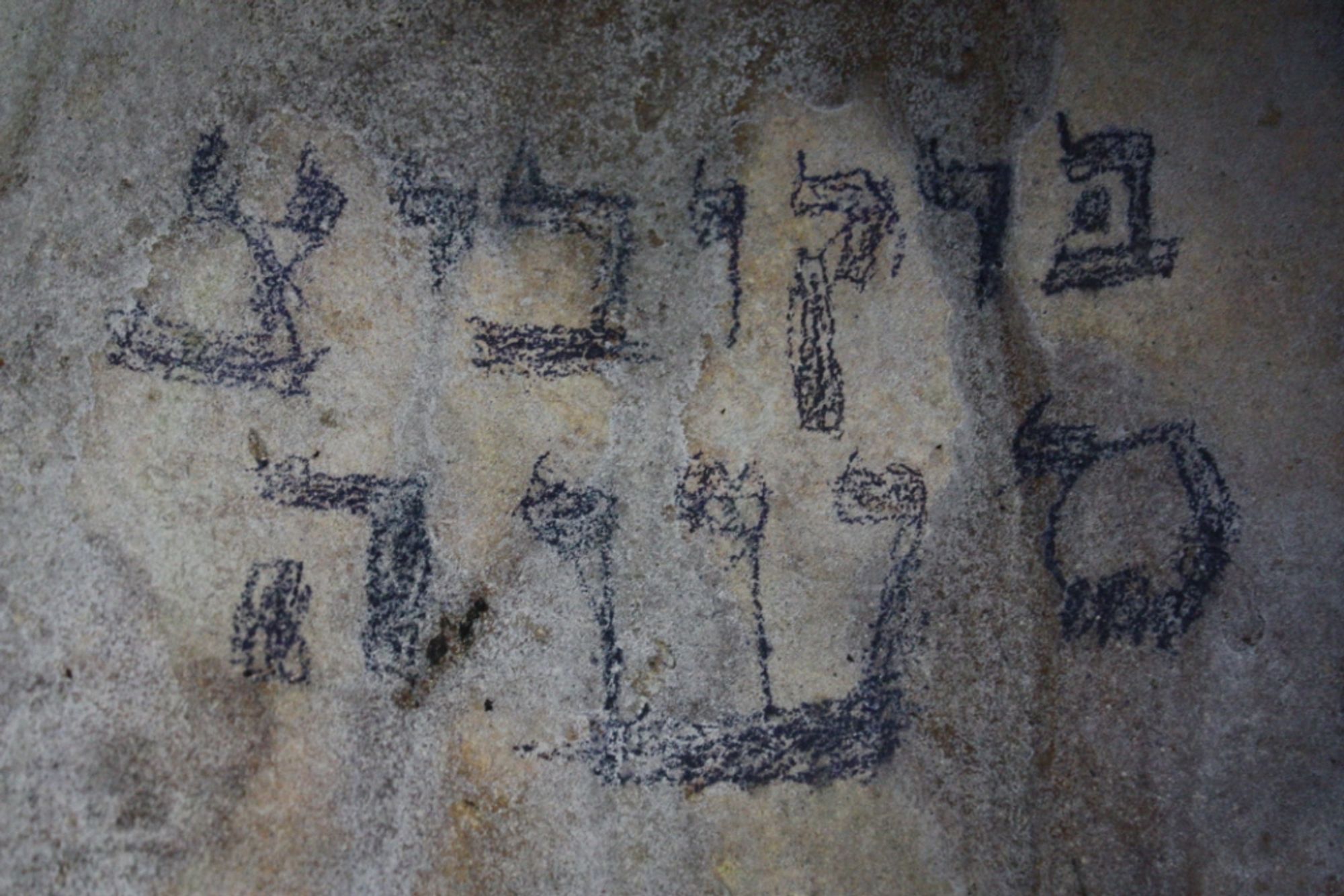
As part of this research, the archaeological periods represented in the cave were examined, foremost the activity in it during the Bar Kokhba Revolt, and a speleothem quarry in the inner part of the cave was also examined.
Notes:
- The cave can be reached on foot along the bed of Nahal HaMe'ara.
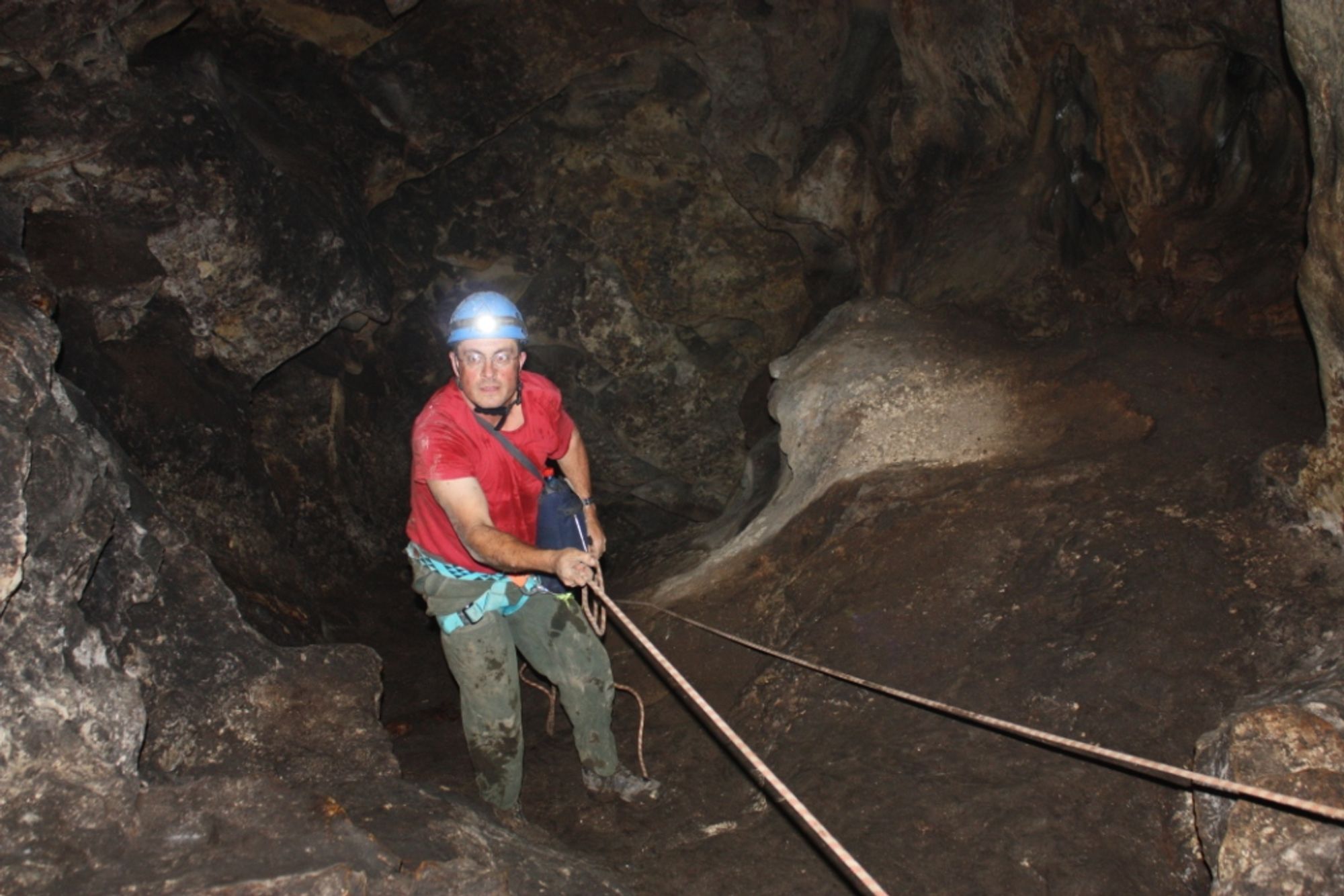
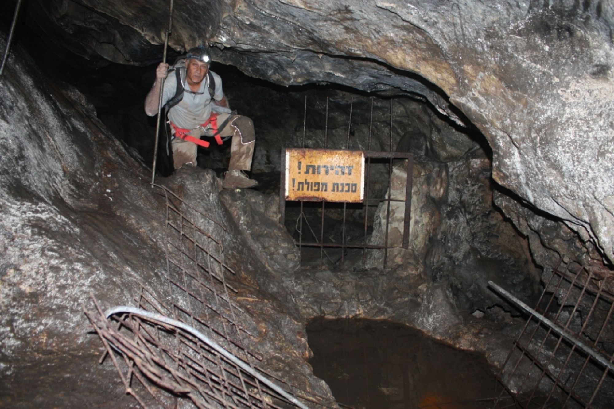
- A visit to the entrance chamber is possible by walking on a wooden path installed there. Entering the inner part of the cave requires leaving the path and using a rope to cross shaft E. These activities are not legal without authorization from the authorities.
- Insectivorous bats roost in the cave. Entering the cave in the winter and spring months disturbs their rest and is prohibited by law.
Written by: the Teomim Cave research expedition.
Regarding the archaeological activity studied in the cave, see:
Zissu B., Langford B., Porat R., and Frumkin A., 2009. Finds from the Bar Kokhba Period from the Teomim Cave. in: H. Eshel and R. Porat (eds.). Refuge Caves of the Bar Kokhba Revolt, Second Volume. Jerusalem. pp. 402-422 (Hebrew).
Zissu B., Eshel H., Langford B., and Frumkin A., 2009. The Coins from the Teomim Cave. in: H. Eshel and R. Porat (eds.). Refuge Caves of the Bar Kokhba Revolt, Second Volume. Jerusalem. pp. 423-453 (Hebrew).
Zissu B., Porat R., Langford B., Eshel H., Stiebel G., and Frumkin A., 2009. Me'arat Ha'Teomim – A Refuge Cave from the Time of the Bar-Kokhba War in the Western Jerusalem Hills. in: E. Baruch, A. Levi-Reifer and A. Faust (eds.). New Studies on Jerusalem 15. Bar-Ilan, Ramat-Gan. pp. 175-186 (Hebrew).
Zissu B., Eshel H., Stiebel G.D., Porat R., Langford B., Davidovich U. and Frumkin A., 2009. Finds from the Bar-Kokhba Period in the Teomim Cave in the Western Jerusalem Hills. Qadmoniot 138. pp. 118-121 (Hebrew).
Zissu B., Eshel H., Langford B. and Frumkin A., 2010. Coins from the Bar Kokhba Revolt Hidden in Me'arat Ha-Teomim (Mugharet Umm et Tueimin), Western Jerusalem Hills. in: D. Barag and B. Zissu (eds.). Studies in Honour of Arnold Spaer [INJ 17]. Jerusalem. pp. 113-147.
Zissu B., Klein E., Davidovich U., Porat R., Langford B., and Frumkin A., 2011. A Pagan Cult Site (?) from the Late Roman Period in the Teomim Cave, Western Jerusalem Hills. in: E. Baruch, A. Levy-Reifer and A. Faust (eds.). New Studies on Jerusalem 17. Bar-Ilan, Ramat-Gan. pp. 311-341 (Hebrew).
Zissu B., Porat R., Langford B., and Frumkin A., 2011. Archaeological Remains of the Bar Kokhba Revolt in the Teomim Cave (Mŭghâret Umm et Tûeimîn), Western Jerusalem Hills. Journal of Jewish Studies 62/2. pp. 262-283.
Frumkin A., Davidovich U., Langford B., Porat R., Ullman M., Zissu B., (2013). In-situ dating of ancient quarries and the source of flowstone ('calcite-alabaster') artifacts in the southern Levant. Journal of Archaeological Science.
1 The pool is mentioned in the description by Conder and Kitchener, who noted that it was filled up; the pool was marked on their plan (Conder and Kitchener 1883: 148). Remains of the pool were still visible in the early 1970s: "At the bottom of the ascent the remains of the construction of another pool, which was destroyed, are clearly visible" (Mann 1978: 162), and they are not visible today.