Caves of Southern Israel
Judean Desert
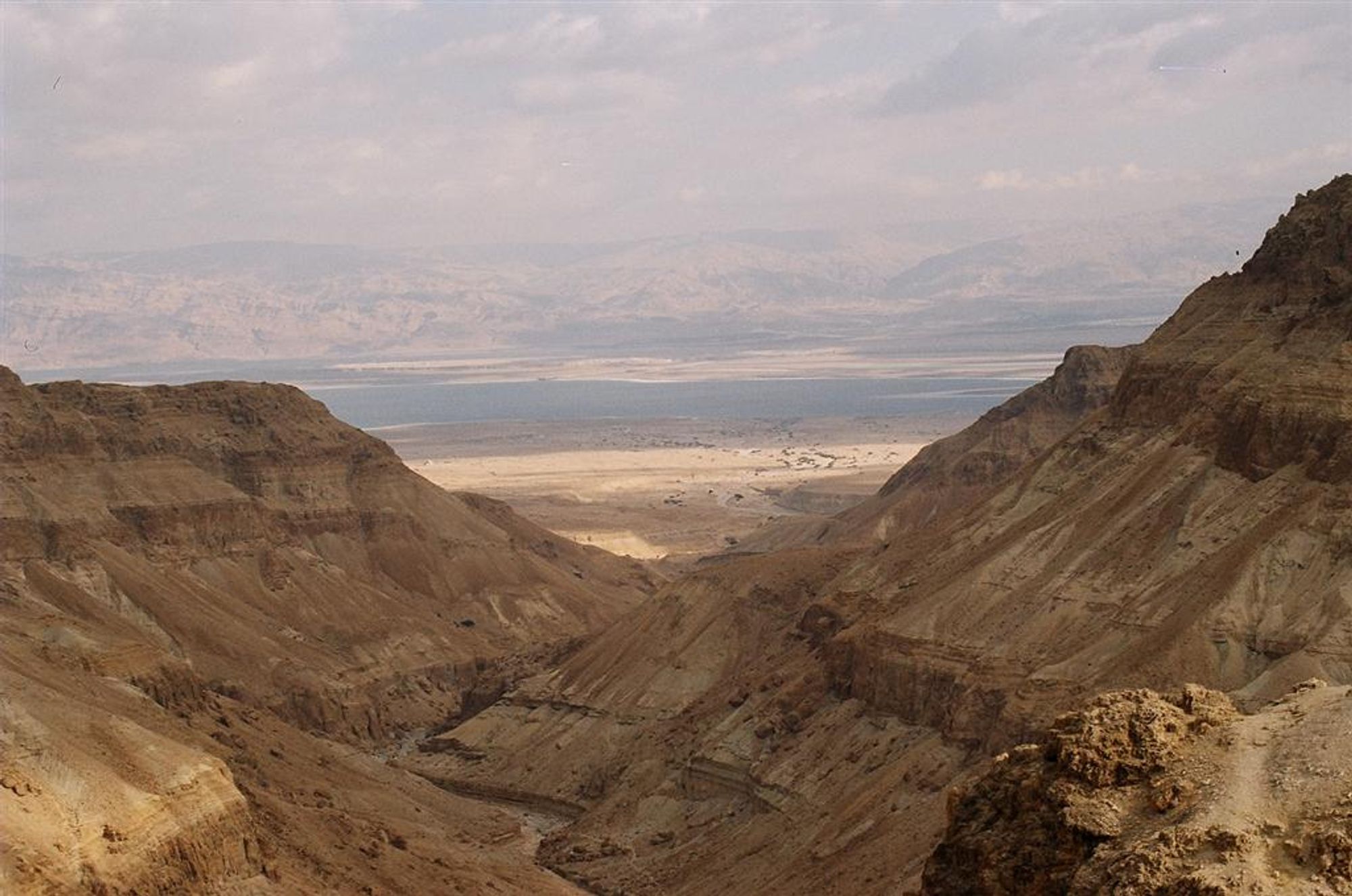
A geographical region in the east of the Land of Israel, between the Judean Mountains and the Dead Sea. The desert is about 85 kilometers long and about 25 kilometers wide. It is not part of the global desert belt, and is defined as a rain-shadow desert. The region is characterized by a desert climate and by the topography of a plateau ending in the east in a cliff (part of the fault escarpment), which is cut by streams flowing from west to east.
Most of the Judean Desert is built of limestone rocks, but in certain areas dolomite, chalk and chert rocks can be seen.
Caves in the cliffs of the Judean Desert served as refuge caves mainly during the suppression of the Bar Kokhba Revolt by the Romans. In the caves in the cliffs of Nahal Qumran and Nahal Hever, some of the most important finds from the days of the Bar Kokhba Revolt were discovered, and in Murabba'at Cave the first scrolls explicitly bearing the name 'Simeon ben Kosiba' were discovered
Mount Sedom
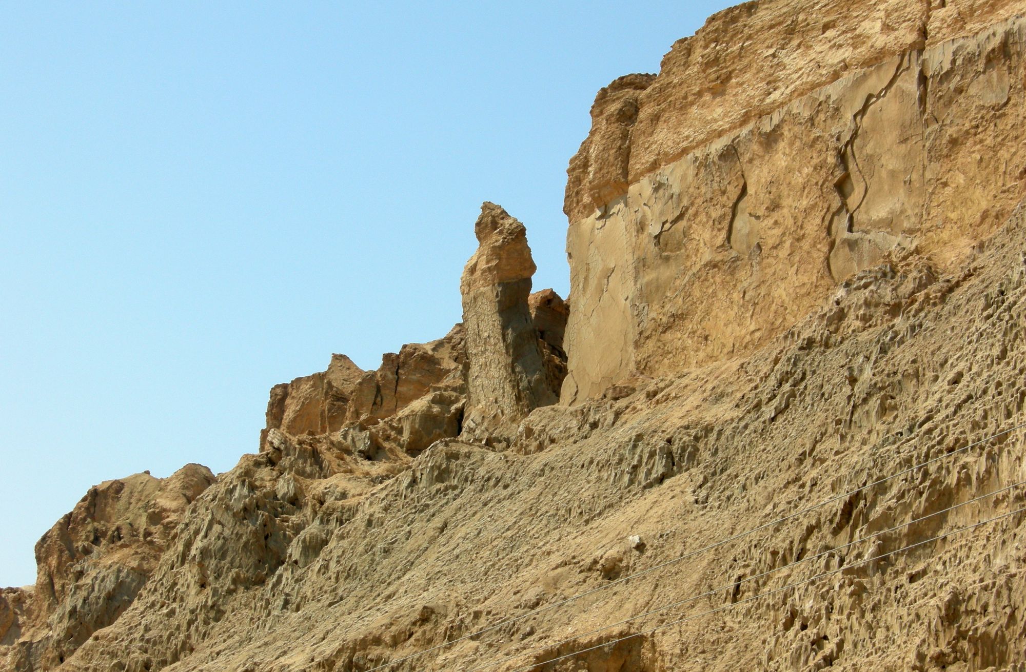
Mount Sedom is a diapir (salt dome) of salt rocks. The mountain is located in the Dead Sea Rift Valley near the southwestern end of the southern basin (today dry) of the Dead Sea. It is 11 km long and 1.5 km wide, and rises to a height of 250 m above the level of the Dead Sea. The climate in the region is hot and arid, with an average annual temperature of 25 degrees and a multi-year average of 50 mm of rain.
Mount Sedom contains very well-developed karst caves, spread throughout the entire volume of the mountain above the drainage base level in the Dead Sea basin.
The Negev
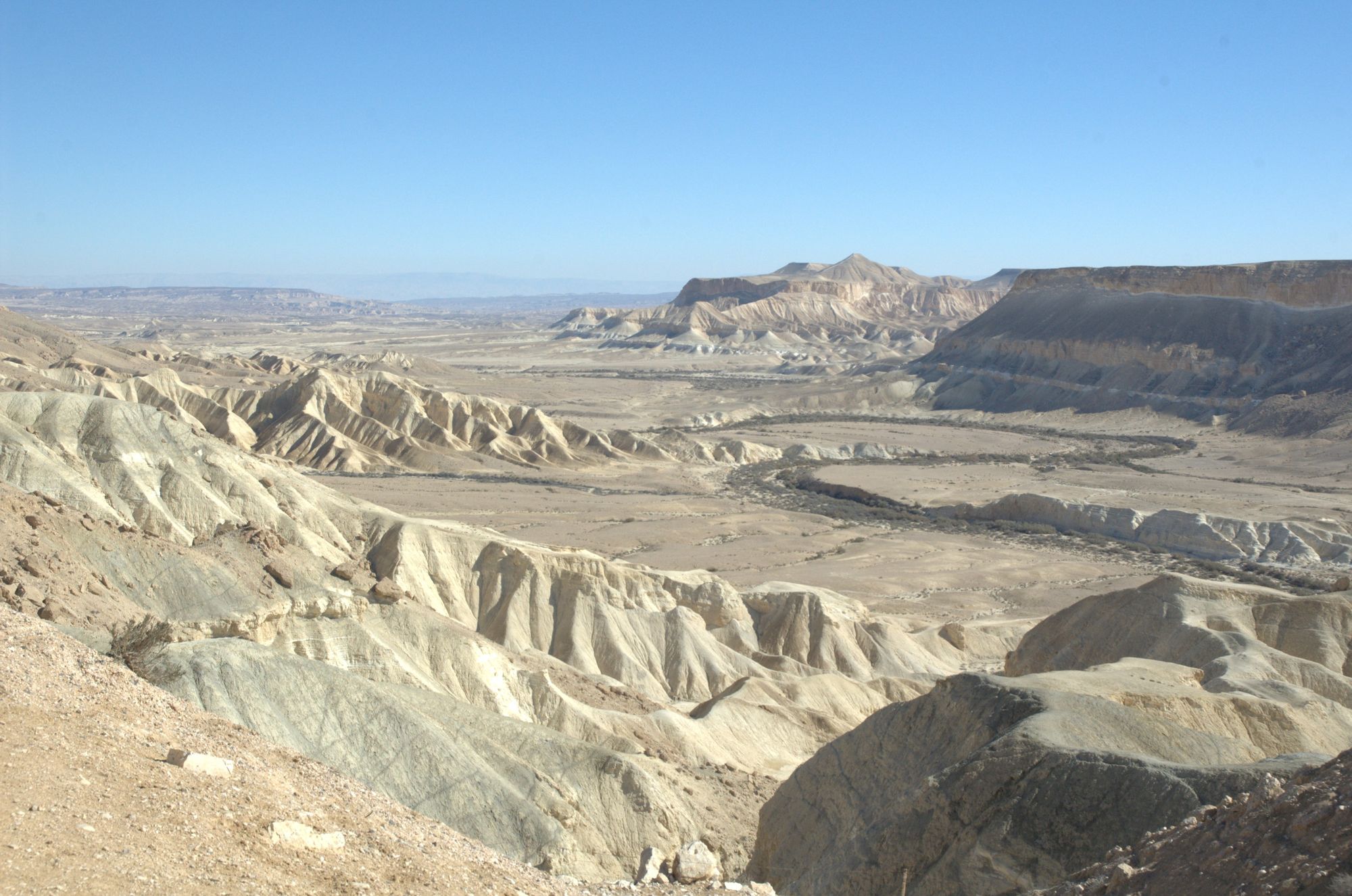
The Negev is part of the global desert belt, which is the reason for the climatic conditions prevailing in it. The Negev is a mostly desert region. The Beersheba Valley, located in its northern part, is loess land; the Negev Hills, located in the center of the Negev (in the western part), consist of a series of parallel ridges in a northeast-southwest direction. South of the Negev Hills lies the Negev Plateau and beyond it – the Eilat Mountains and Eilat. Along the entire eastern part of the Negev extend the Arava and also the area south of the Dead Sea.
The average amount of precipitation in the Negev ranges from 200 mm multi-year average on its northern border in the Beersheba area to 20 mm multi-year average on its southern border in the Eilat area. Despite the sparse precipitation, it is still possible to find caves that developed by dissolution, but are not active today. This indicates that in the past the amount of precipitation in the Negev stood at 350 mm and even more.