Sharakh Cave
- Grid ref.
- 775449/222585 (New Israel Grid)
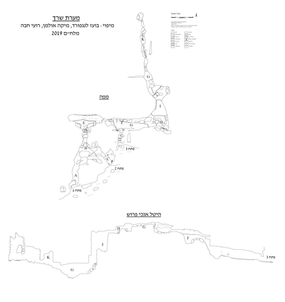 Cave mapView the map (PDF)
General:
Sharakh Cave is a large cave that developed mainly below the water table, in the dolomite rock of the Sakhnin Formation. The total length of the cave is 289 m and its depth reaches 25 m. The cave consists of a two-dimensional network of passages, along an orthogonal joint system, in north-south and east-west directions. The set of passages that developed in the north-south direction is cut on its south side by the channel of Nahal Sharakh, so that three prominent openings were created at the site. Two openings are at the level of the channel and another opens at the top of a slope, about 15 m above the channel bed. Vaks and colleagues (2009) estimated that the caves of the Western Galilee formed at the water table, when the groundwater stood in the Sakhnin Formation, above the aquiclude of the Deir Hanna Formation. In this way the caves formed at several levels, following the drop of the water table, alongside the incision of the channels. On the other hand, it is possible that the cave formed under confined aquifer conditions, between the impermeable units of the Deir Hanna Formation and the Menuha Formation. In Sharakh Cave there are passages at three main levels, with very limited overlap. This structure can form according to either of the proposals.
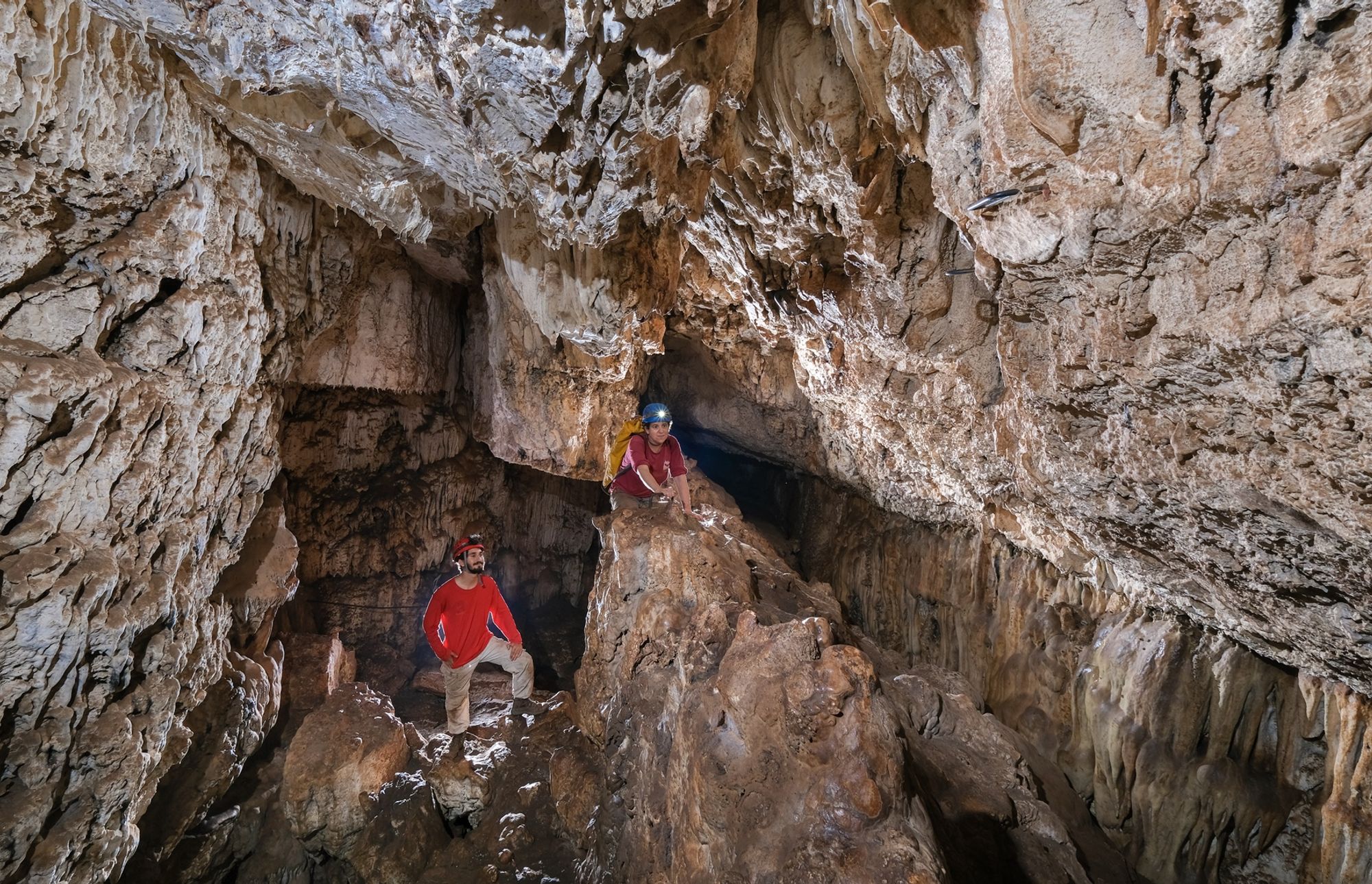
Processes in the vadose zone began to take place after the cave drained of water. These include significant collapses of large rocks and the deposition of speleothems. The collapses reshaped the interior of the space in a way that blurs the original dissolution forms. These forms were preserved in narrow, highly stable spaces, and they attest to the environment in which the space formed, below the water table. Cave deposits are scattered in all parts of the cave, with impressive clusters in chamber E and at the innermost end. The cave deposits include mainly stalactites, stalagmites and flowstone. The deposits along the hiking route are badly damaged, and some were even sawn off and drilled as part of preparing the site. Those in the inner part of the cave are better preserved, both because of the small number of visitors and because of their location at ceiling height.
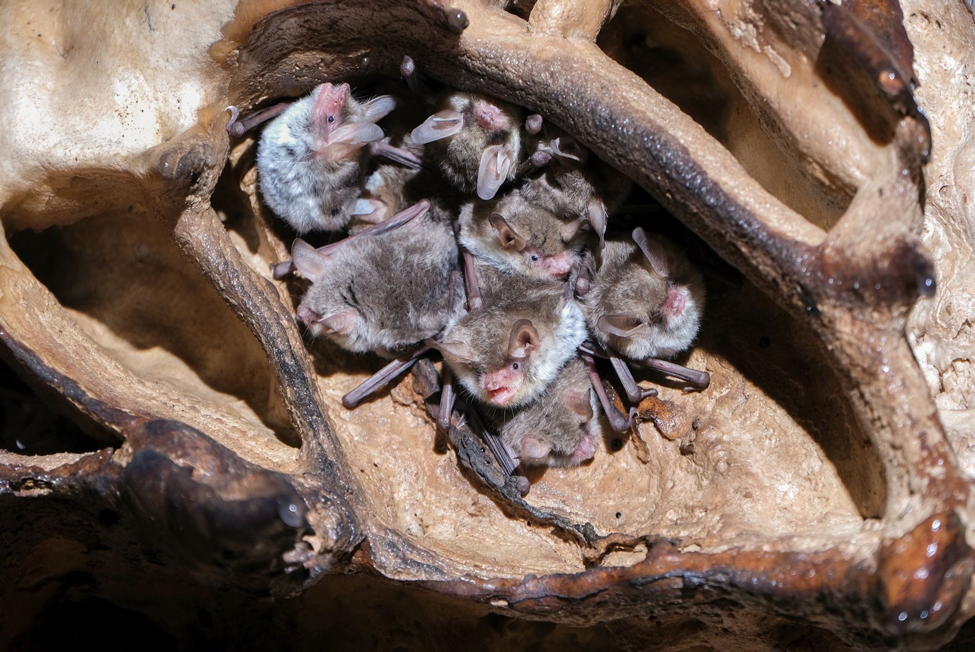
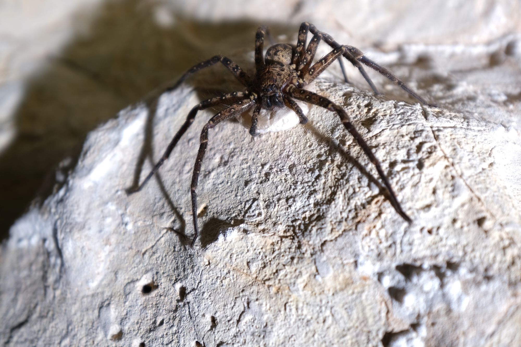
The entry of large animals became possible once the cave openings were exposed, while various arthropods could enter the space at an earlier stage, using limited routes such as cracks and tiny passages. The mammal presence known today includes the activity of insectivorous bats and rock hyraxes. Rock hyraxes are found mainly in the passages near the openings, while the bats prefer the inner spaces, far from the areas where hikers visit. Hikers enter mainly along a marked route running between the openings, which allows entering through one opening and exiting through another. A metal grate installed in the middle of the corridor marks the area closed to hikers. In the whole area between the cave openings and the grate there is very little guano and almost no bats can be seen. In contrast, beyond the iron grate there are large guano clusters and a prominent bat population.
Description of the space:
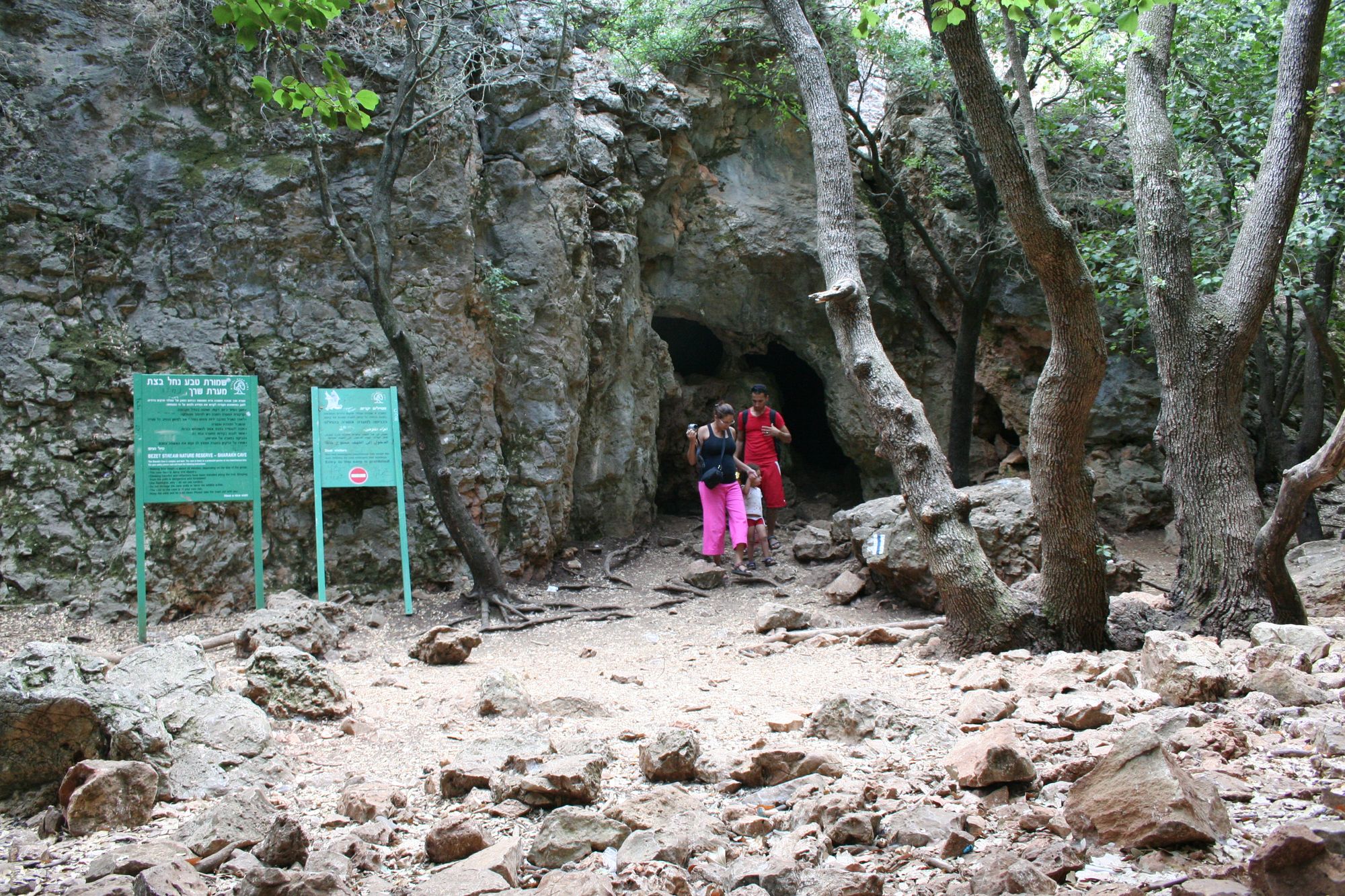
Opening 1 is the most prominent of the cave openings. The opening is located at the bottom of the north bank of Nahal Sharakh, very low relative to the channel bed. The opening leads to a wide, high, horizontal space that continues as a comfortable corridor to the north. Low passages branch off to the east, and a low passage leads north. The passage to the north leads to a high space that light rays from the opening area no longer reach. From this space too there are turns eastward, into low passages that finally lead to opening 2. These passages, which did not suffer many collapses, preserve the original dissolution forms, in the form of wide dissolution domes and a rounded cross-section. Continuing north along the entrance corridor leads to a stepped shaft that continues upward to the large chamber of the cave (space E). This chamber developed along an east-west crack (perpendicular to the entrance corridor), and an enormous rock block fell to its floor, exactly beneath the line of the crack. A row of low stalagmites developed on the rock, along a "natural knife-edge" at its top. On the east side of the rock there is a low passage requiring simple crawling over ~2 meters. After the low section the corridor continues east and immediately turns south and continues up to the high opening of the cave - opening 3.
At the point where it turns south, wide openings open between collapse rocks at wall height and in the passage ceiling. The openings lead to a high level that developed between the collapse rocks that make up this section of the cave. The ceiling is flat, due to collapse along a bedding plane, and the floor is stepped following the contour of the collapse rocks. Ceramics from the Chalcolithic period, scattered among the collapse rocks, indicate that the collapses occurred before human activity in this period. At the eastern end of the corridor the space turns north and continues in a long corridor to the end of the cave. At the point of the turn north there is a large collapse rock, which can be descended only with the help of a rope. Another similar step appears further on, but it can be bypassed through a narrow passage between the collapse rock and the wall of the space.
The innermost part of the passage consists of a narrow corridor along a prominent crack. The corridor walls are covered with active cave deposits (flowstone and stalactites) and its floor is incised by a shallow canyon. The canyon may attest to the stage of the water table drop and the creation of free flow along the cave corridor. Because of the later collapses it is difficult to decide this matter. The high humidity in this area of the space prevents the many guano clusters from drying out, which creates deep guano mud.
Notes:
Visiting the cave is permitted on the opening date, as defined by the Nature and Parks Authority.
The inner part of the cave is closed to hikers. This part serves as an important roosting site for insectivorous bats. Any entry to the place harms the population.
Written by: Boaz Langford, after a visit to the site with Mika Ullman and Roi Haba.
Region: Western Galilee
Elevation: 320+ m