Sfina Cave, Carmel
- Grid ref.
- 148225/238051
- Location
- Mount Carmel, Nahal Sfunim
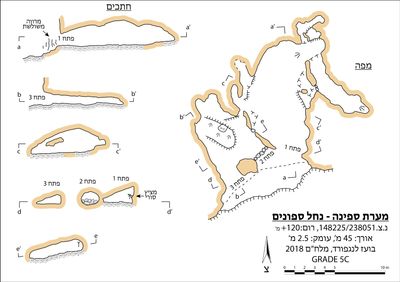 Cave mapView the map (PDF)
Description of the Cave:
Sfina Cave is a medium-sized hypogenic cave composed of a pair of chambers and several passages in a net-like structure. The total length of the cave reaches 45 m and its maximum depth 2.5 m.
The cave has three openings opening at the top of a local rock step in the cliff on the northern bank of Nahal Sfunim, about 6 m above the channel. The host rock is bedded calcareous dolomite from the base of the Bina Fm. (Muhraka Member) of Turonian age. In space B the layers dip at about 25 degrees to the west, while in space A their dip is more moderate.
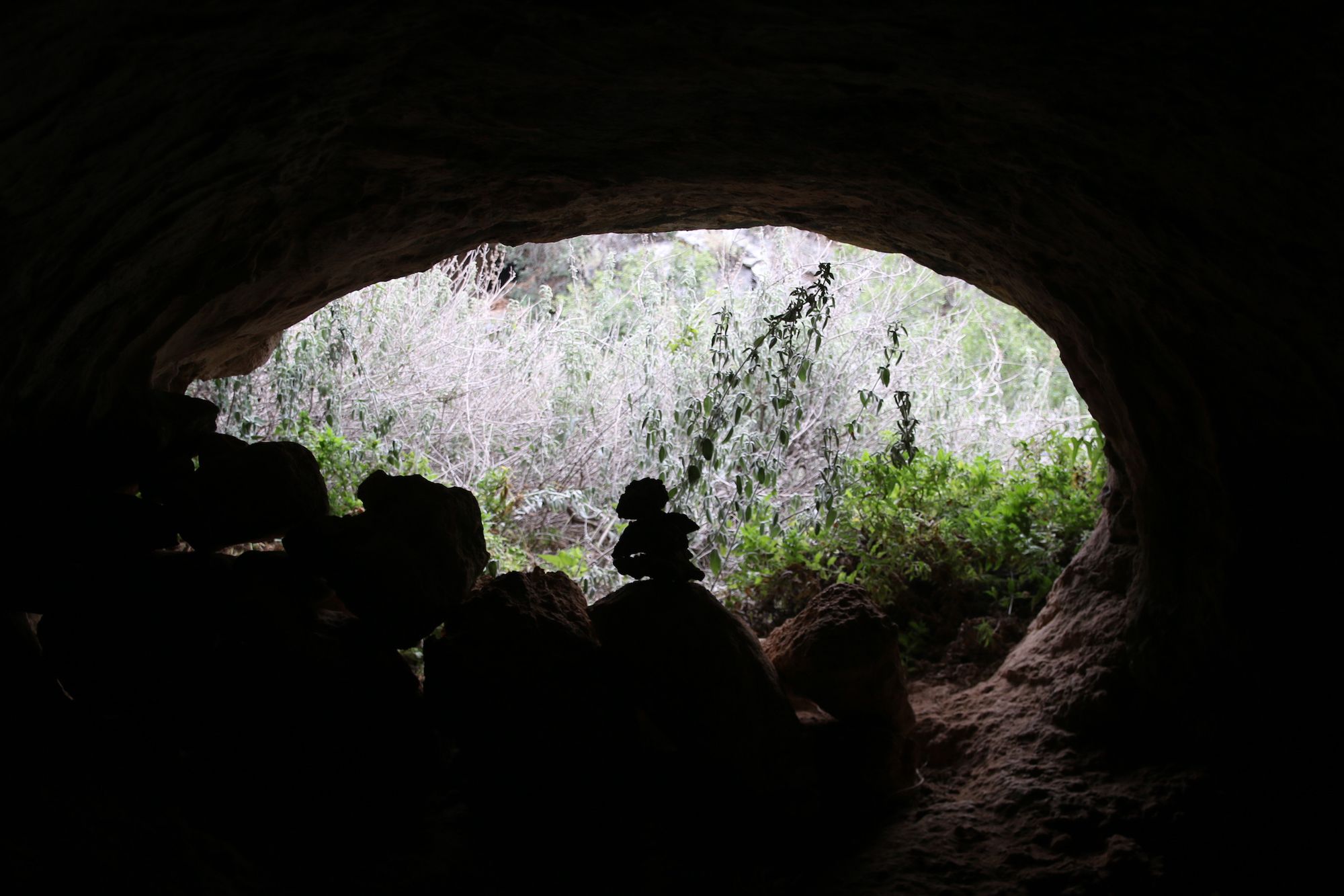
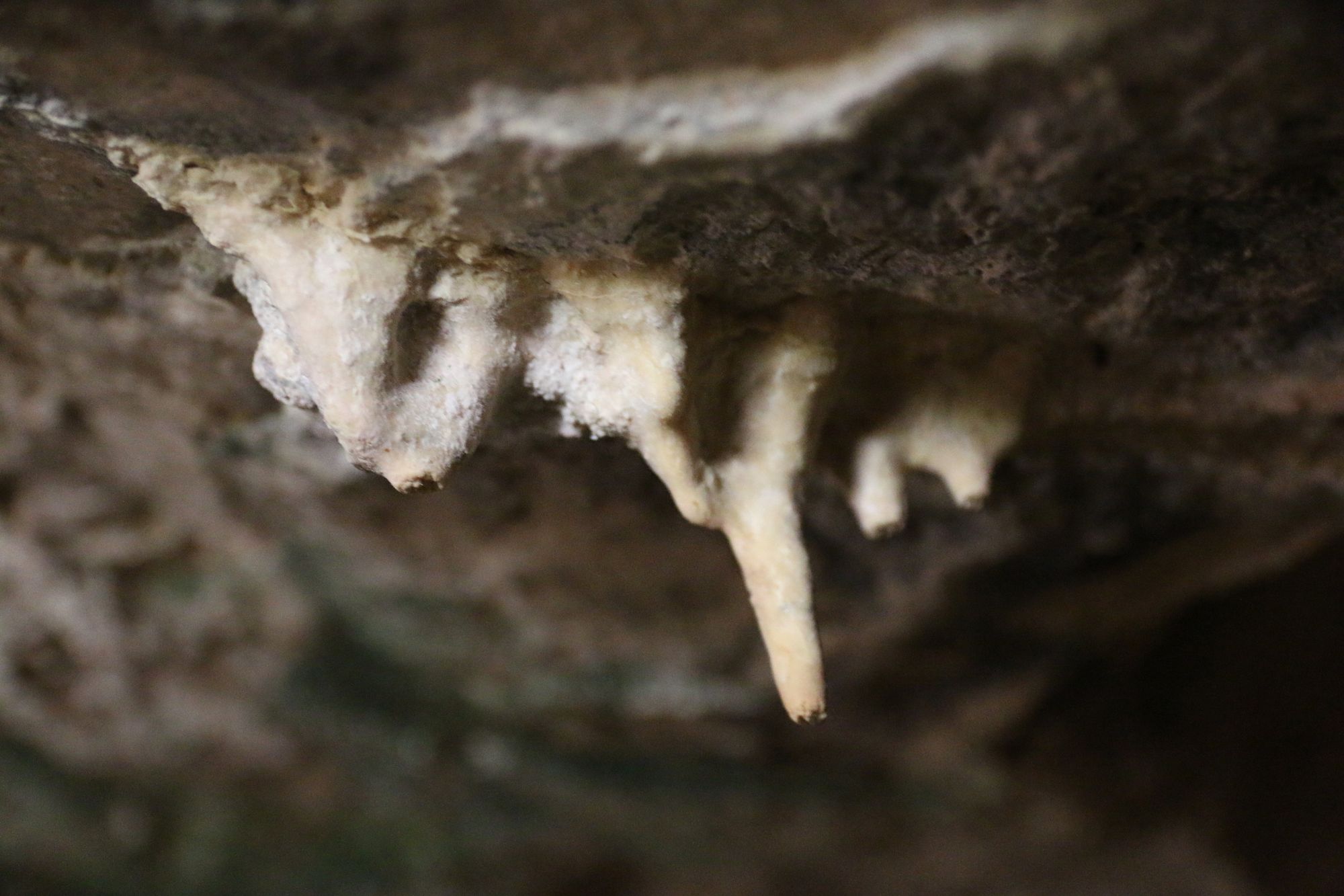
The pair of western openings have a convex to elliptical outline and lead to an elongated, semi-lit horizontal space (space A). In its center is a large collapse boulder that disrupts the structure and creates a kind of two passages surrounding it on both sides. The surface of the collapse boulder slopes to the west and on it cave deposits developed, including a wide column and a few corals. A few stalactites and tiny elephant ears also appear in the space's ceiling, especially on its eastern side. Narrow passages connect the eastern side of the space to space B, which lies to the east.
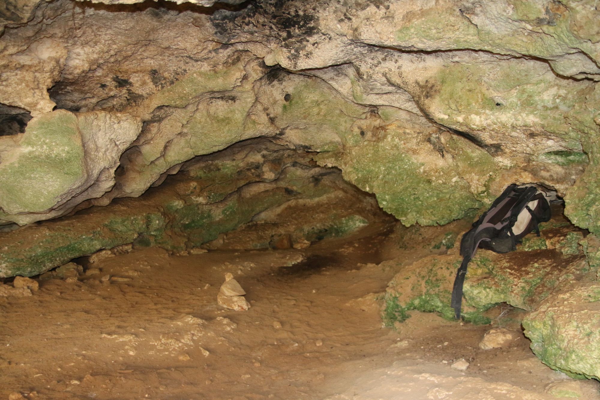
Entry to space B is possible through the eastern opening, which also has a convex outline. The space is horizontal, wide and comfortable to stay in. The floor is covered with loose and slightly damp soil, in which organic material is mixed, originating mainly from hyrax droppings. In the ceiling and walls there are rounded dissolution pockets, which together with the general structure of the space attest to the hypogenic origin of the cave. On the western side several passages developed, creating local complexity in the space. More developed passages developed west of space B and parallel to it, creating a net-like structure. The northern part of the passages (D) continues on two levels in which the passages are narrow, rounded and with little soil accumulation. The southern side of the passages (C) is wider and has significant soil accumulation. Porcupine quills, scratches and diggings attest that this area is favored by porcupines visiting the place. Accordingly, the concentration of cave ticks in this area is the highest in the cave.
Notes:
Signs of rock hyrax and porcupine activity were seen in the cave, in addition to arthropods observed in all its parts. These include a few spiders, mites and ticks (cattle and cave). In area D a tooth of a herbivore was found, perhaps a remnant of old hyena activity. Many snail shells are mixed into the sediment deposited on the floor of spaces B, C, D.
In the ceiling of the inner part of the openings there are remains of several old mud nests.
Signs of human activity include a tiny rim sherd of a pottery vessel (near the western opening - opening III) as well as a fieldstone wall built at the bottom of the central opening (opening II).
Written by: Boaz Langford
Elevation: +120 m