Kane Cupmarks Cave - Nahal Kane
- Grid ref.
- 165818/175035
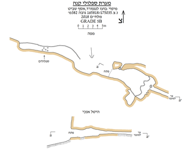 Cave mapView the map (PDF)
General Description:
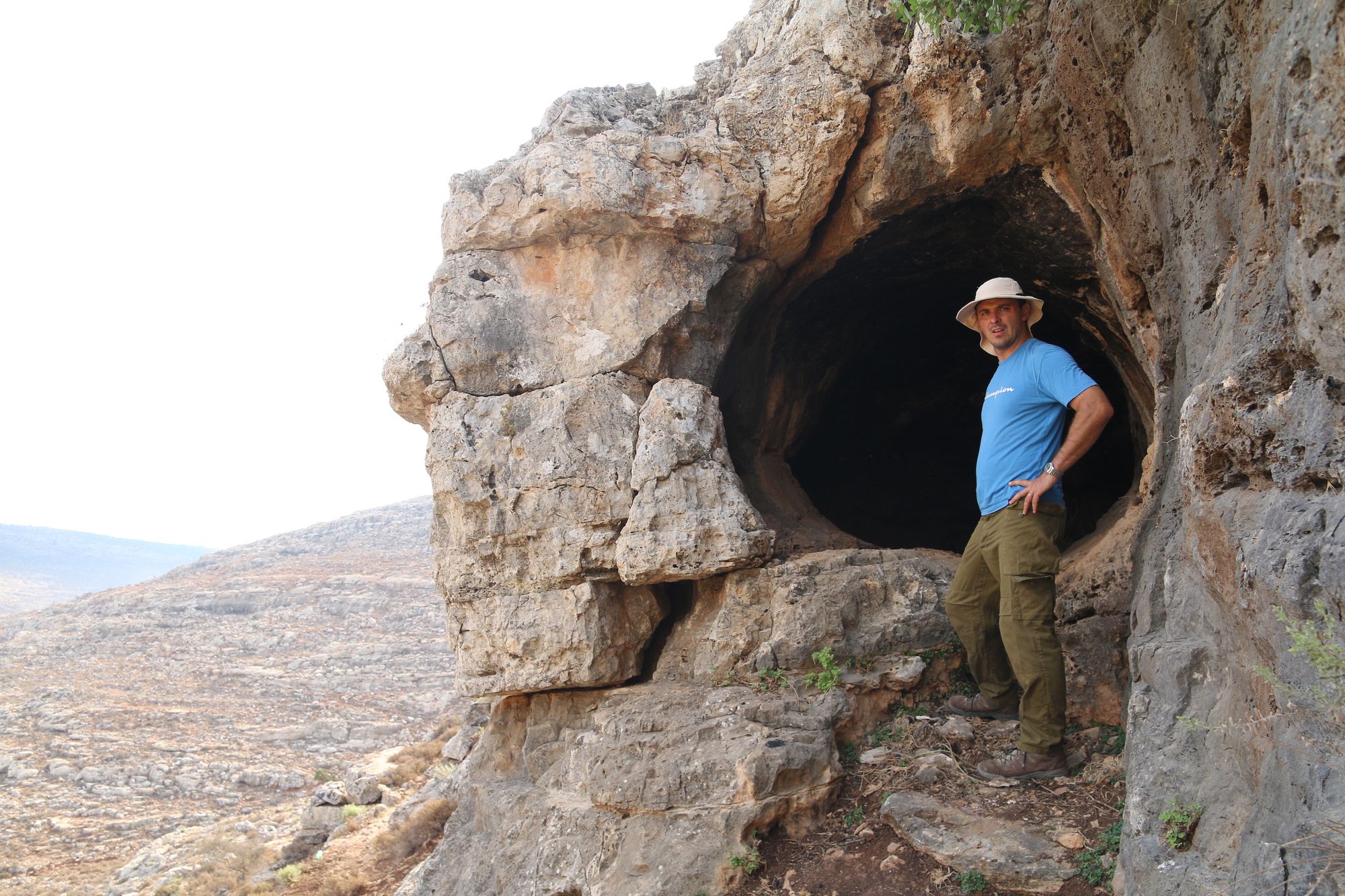
A small niche cave located on a cliff on the southern bank of Nahal Kane in Wadi Arur.
The cave is a phreatic cave that developed in limestone of the Vradim Formation. The cave opening is rounded, roughly 2X2 m, and faces west (perpendicular to the direction of the wadi), and therefore is not conspicuous to those walking in the wadi.
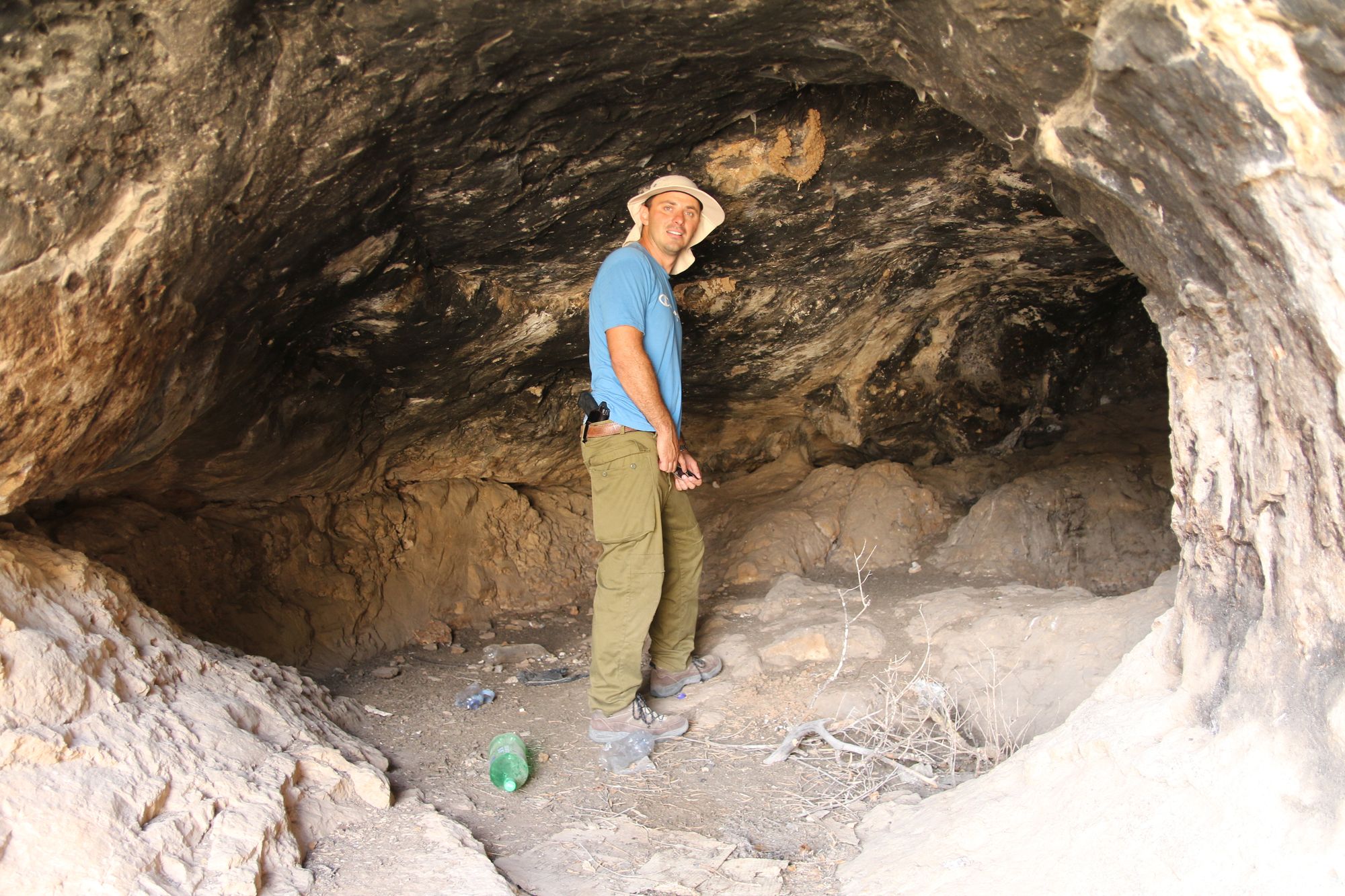
The cave consists of a single space that developed eastward (parallel to the line of the cliff); the cave has a dissolution ceiling covered with soot. The cave floor is straight and consists of several levels forming benches inside the cave. The floor is also covered with a thin layer of fine sediment, and the bedrock can be seen protruding from time to time. The cave has a very narrow continuation, between the rock layers, toward the southeast. No cave deposits were observed in the cave.
The cave is used by local shepherds, which is evident from the amount of refuse around the cave.
The cave was found during a cave survey in September 2018
Archaeology:
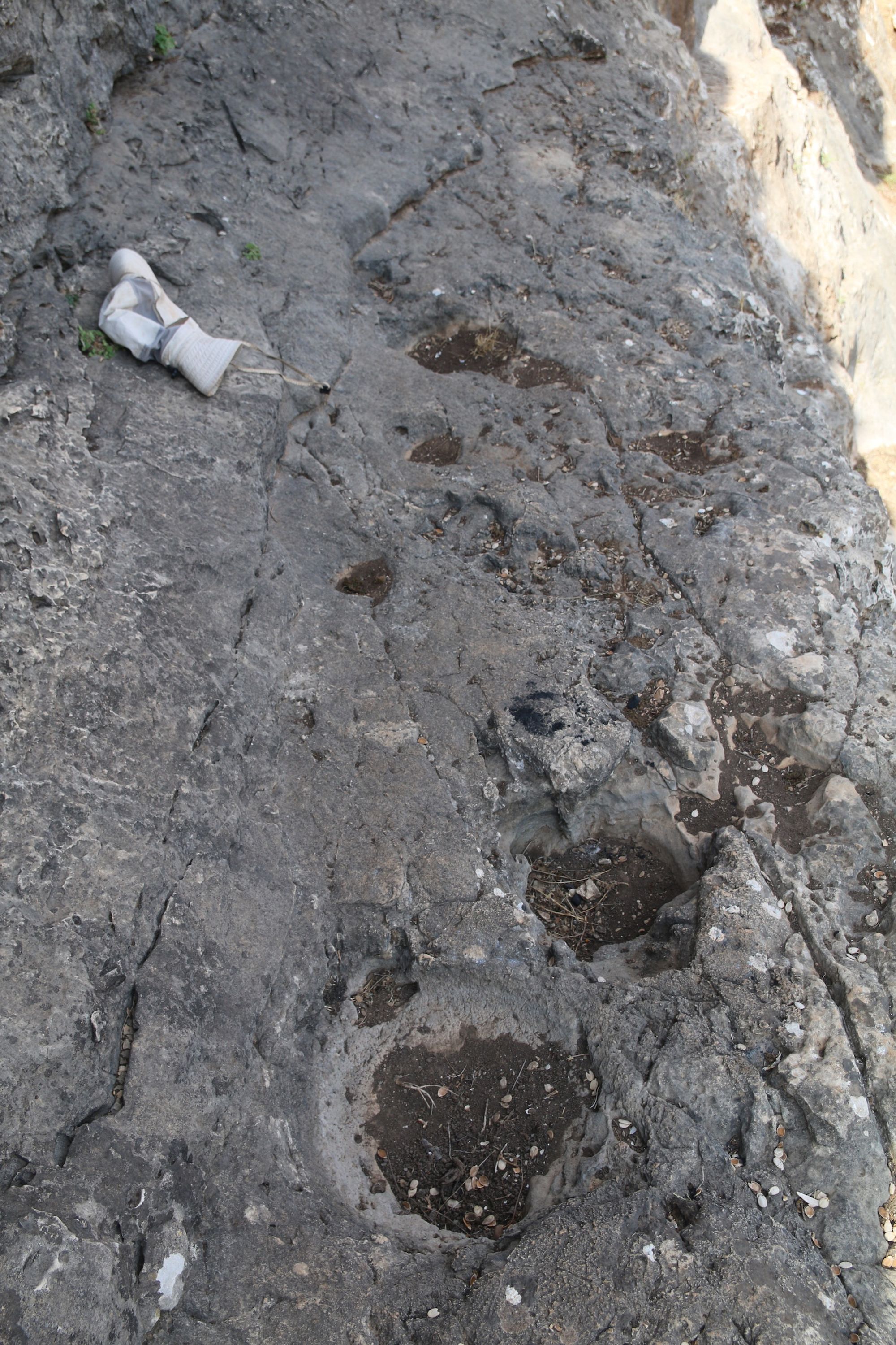
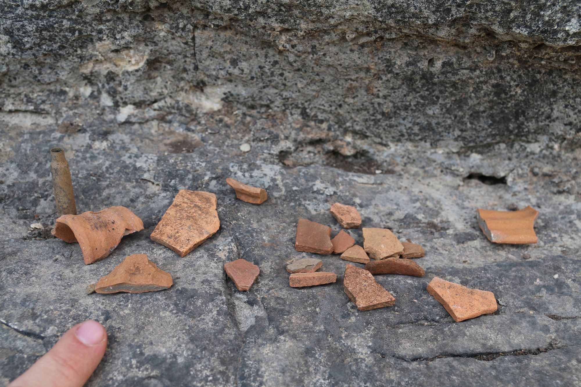
On the slope beside the cave opening many pottery sherds were found. Also, on a rock step located about 10 m from the cave opening there are 3 fine cupmarks (hence the origin of the name). Also, farther along the slope two halves of an agricultural installation cut into the rock were found, a kind of shallow trough.
Biology:
In the cave ceiling there are three old, ruined swallow nests. A few fleas and midges were observed.
Written by: Boaz Langford and Asaf Shavit
Region: Western Samaria (Nahal Kane)
Elevation: 382+ m