Rafayda Cave - Wadi Hakim
- Grid ref.
- 157050/158494
- Location
- North of Kafr 'Abud
- Elevation
- 340 m above sea level
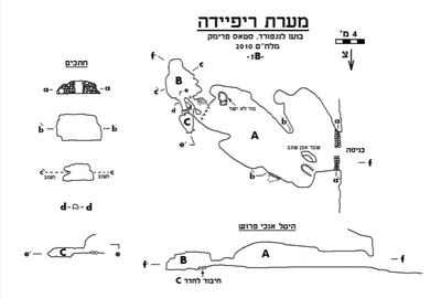 Cave mapView the map (PDF)
Description of the cave:
Rafayda Cave is a large cave consisting mainly of three spaces of different sizes that developed in and were hewn into limestone of Upper Cenomanian age (Amminadav Fm.).
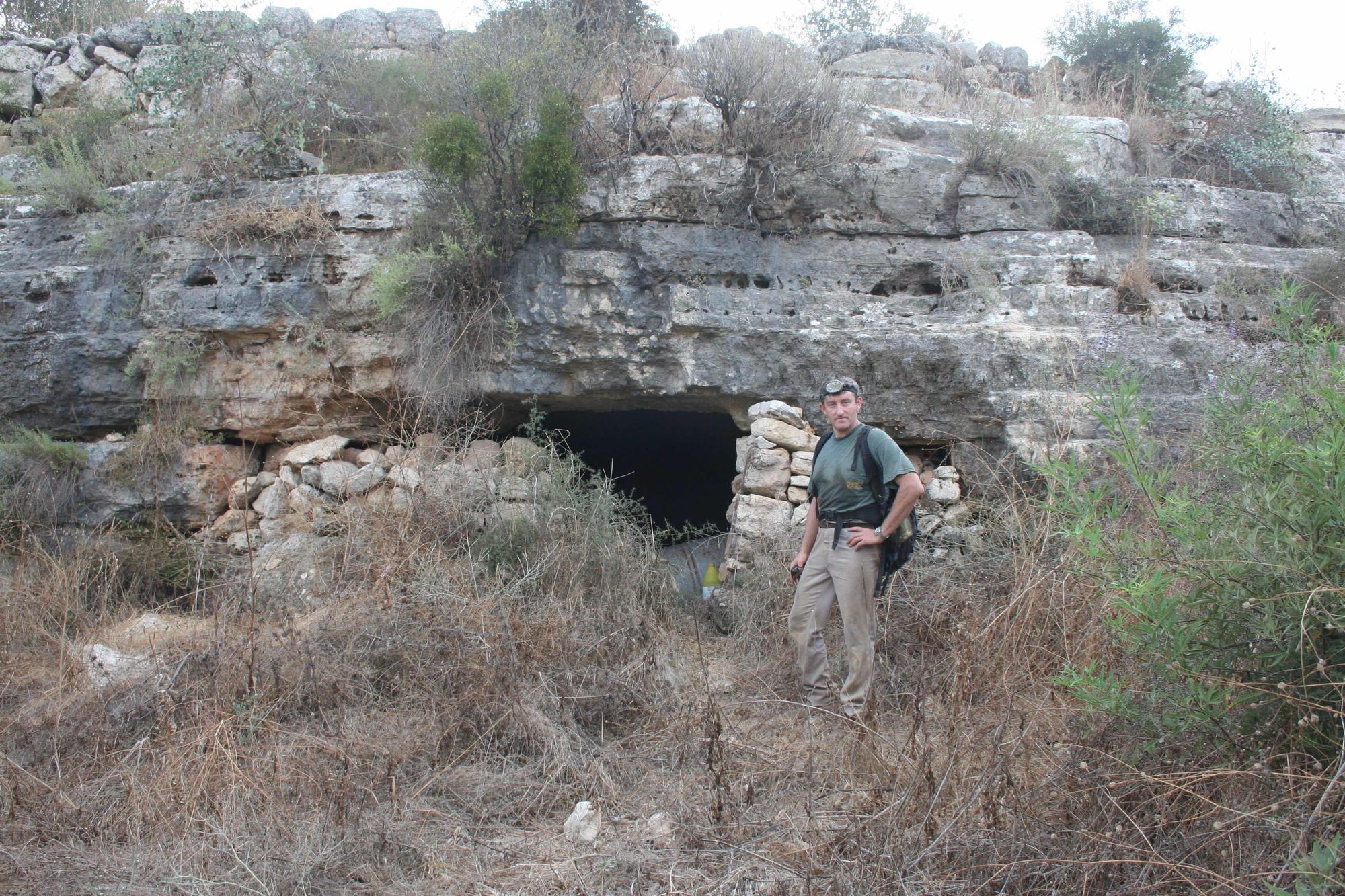
The cave entrance opens in the eastern bank and about 10 m above the bed of a small channel descending in a general north - south direction and draining into Wadi al-Hakam (Wadi Limon). The dimensions of the cave's original entrance are 5.4X1.6 m and its shape is rectangular. The cave entrance was mostly blocked by a stone wall in whose center a rectangular opening of 1.2X1.6 m was built.
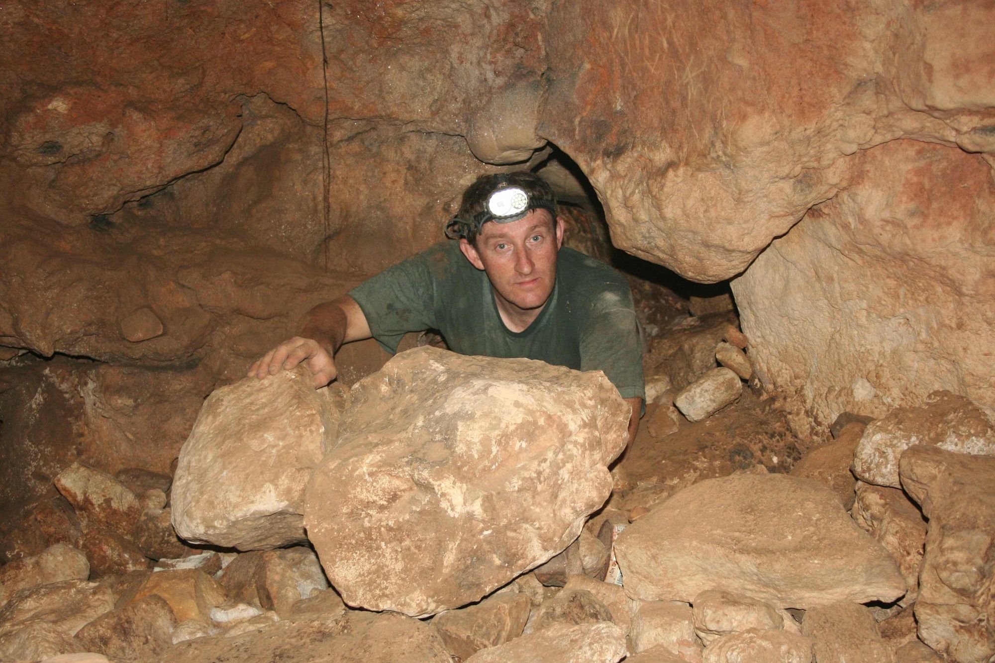
The cave entrance leads to a large chamber (A) of 8X20 m, whose height ranges between 2 and 3.5 m and whose shape is elliptical (elongated on an east – west axis). The chamber floor is horizontal and covered with a layer of dark soil, its ceiling is mostly flat, except in the eastern part of the chamber, where its shape is more rounded. At the edges of the chamber, close to its walls, there are concentrations of stones that were perhaps cleared from its center.
In the southeastern corner of the chamber there is a hewn pit whose dimensions at its mouth are 1.1X1.2 m and whose depth reaches 1.4 m. On the northern side of the pit there is a square step descending from the chamber surface to the upper part of the pit.
Near the pit there is a pile of fresh spoil, which perhaps hints that the pit was hewn recently, but it is possible that the source of the spoil pile is looters' digging carried out in the place.
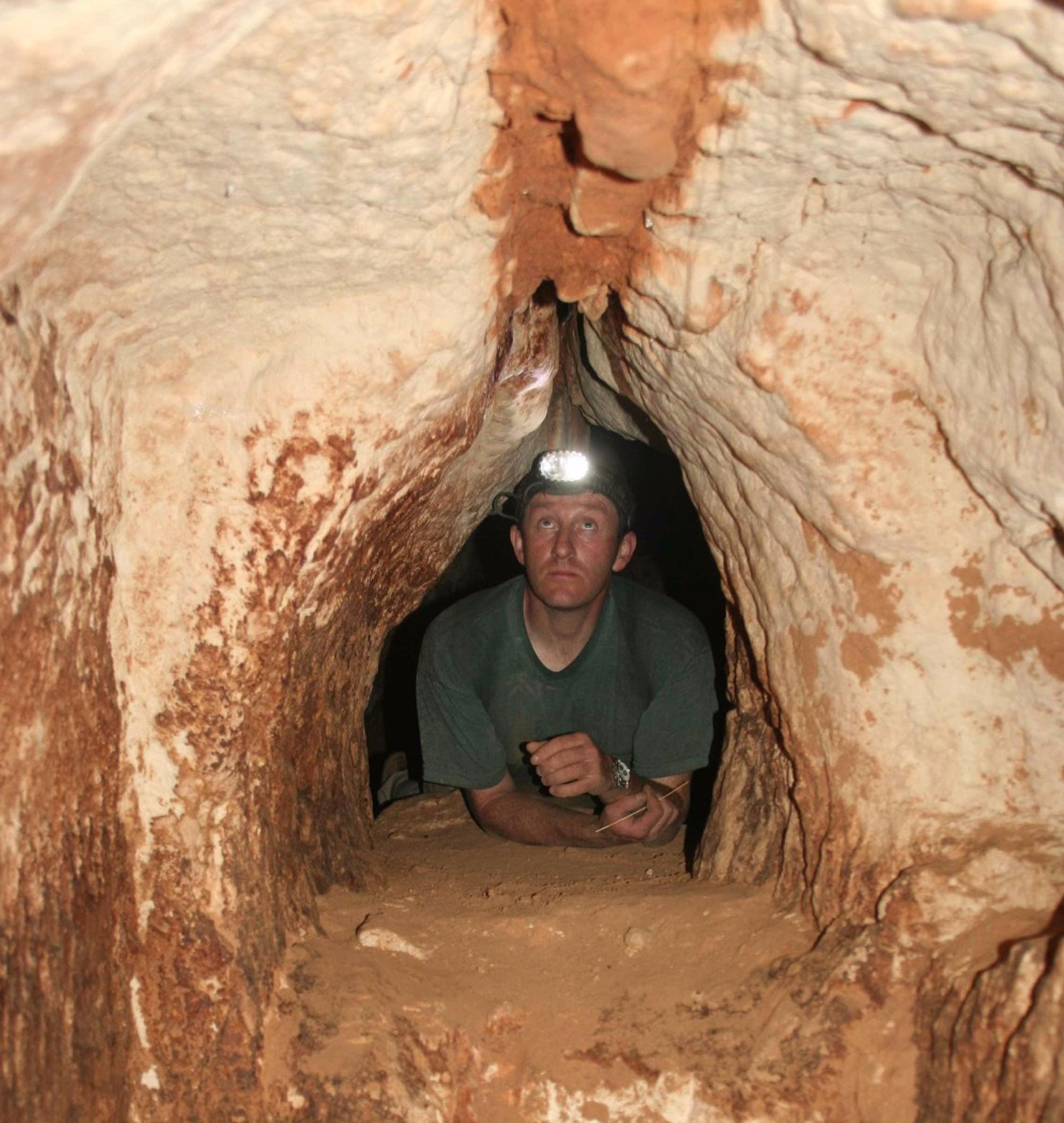
At the eastern end of the chamber, north of the hewn pit, there are three rounded openings leading to three short passages extending west and connecting after about 1.5 m to the central passage, which continues about another meter in the same direction until it joins space B. This space consists of an oval room of 4X6 m and a height of 2.3 m.
The floor of the room is horizontal and covered with a layer of light, sandy soil. The room ceiling is vaulted and slopes toward its walls, where the rock layers, moderately dipping at this point where the cave developed, are clearly visible (dip: -11 at azimuth 260). In the lower part of the walls of space B, from the floor of the space up to the middle of the wall height, prominent quarrying marks can be seen that shaped the surfaces of the walls in this space. On the western side of the space, north of the passage leading between the entrance chamber and this space, there is a vaulted opening of 0.8X0.6 m, and it leads to a short passage extending north for 1.8 m and leading at its end to space C, similar in its characteristics to space B except for its smaller size.
At the point of connection between the passage and space C, a square frame is hewn around the passage opening, at whose bottom two low steps were hewn. Near the passage opening, in the center of the southern wall of space C, a small niche is hewn, similar in shape to the candle niches found in other underground systems in the Judean and Galilean regions. At the western end of space C there are quarrying marks that perhaps look like the beginning of a passage whose hewing work was stopped before completion.
Notes:
- The cave entrance can be reached on foot from the settlement of Beit Aryeh or by driving on the road connecting Kafr 'Abud with Kafr Beit Dima.
- A single individual of a bat of the greater horseshoe bat species was seen in the cave.
- In the area of the cave entrance, in the western part of chamber A, a large fragment of a bedstone was found, perhaps hinting at use of the cave as an olive press. Uses of caves for this craft are found in many caves in the Judean Shephelah and in the Galilee.
- In all parts of space B many potsherds were found.
Written by: Boaz Langford