Kemach Cave
- Grid ref.
- 184013/054740 (upper entrance)
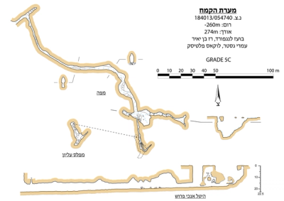 Cave mapView the map (PDF)
General:
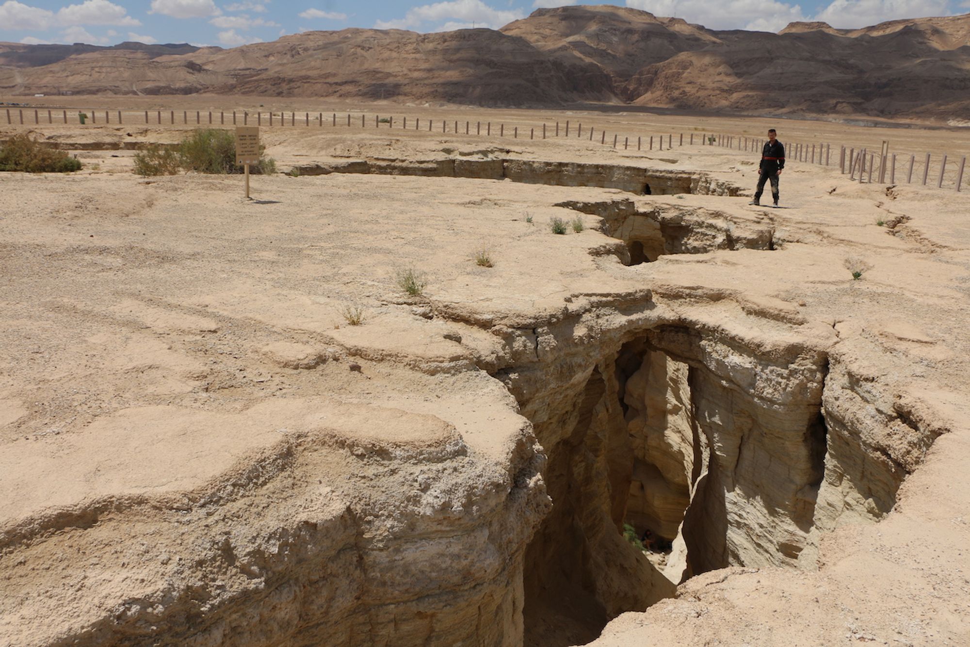
Kemach Cave is a large cave that developed by mechanical erosion processes in marl rock of Pleistocene age. The cave consists of an elongated passage and a series of wide collapse bells, forming a series of openings at the surface. The total length of the cave spaces is 274 m and its maximum depth reaches 22.5 m.
The location of the cave has been known for decades and appears on maps and hiking guidebooks as a central nature site in the area. The place was visited by family trips and school trips, until it was closed by the Nature and Parks Authority about a decade ago. Collapses that occurred in the collapse bells changed the entrance route and prevented convenient visits to the place. This fact, together with the concern about further collapses, currently prevents visits to the site.
Cave description:
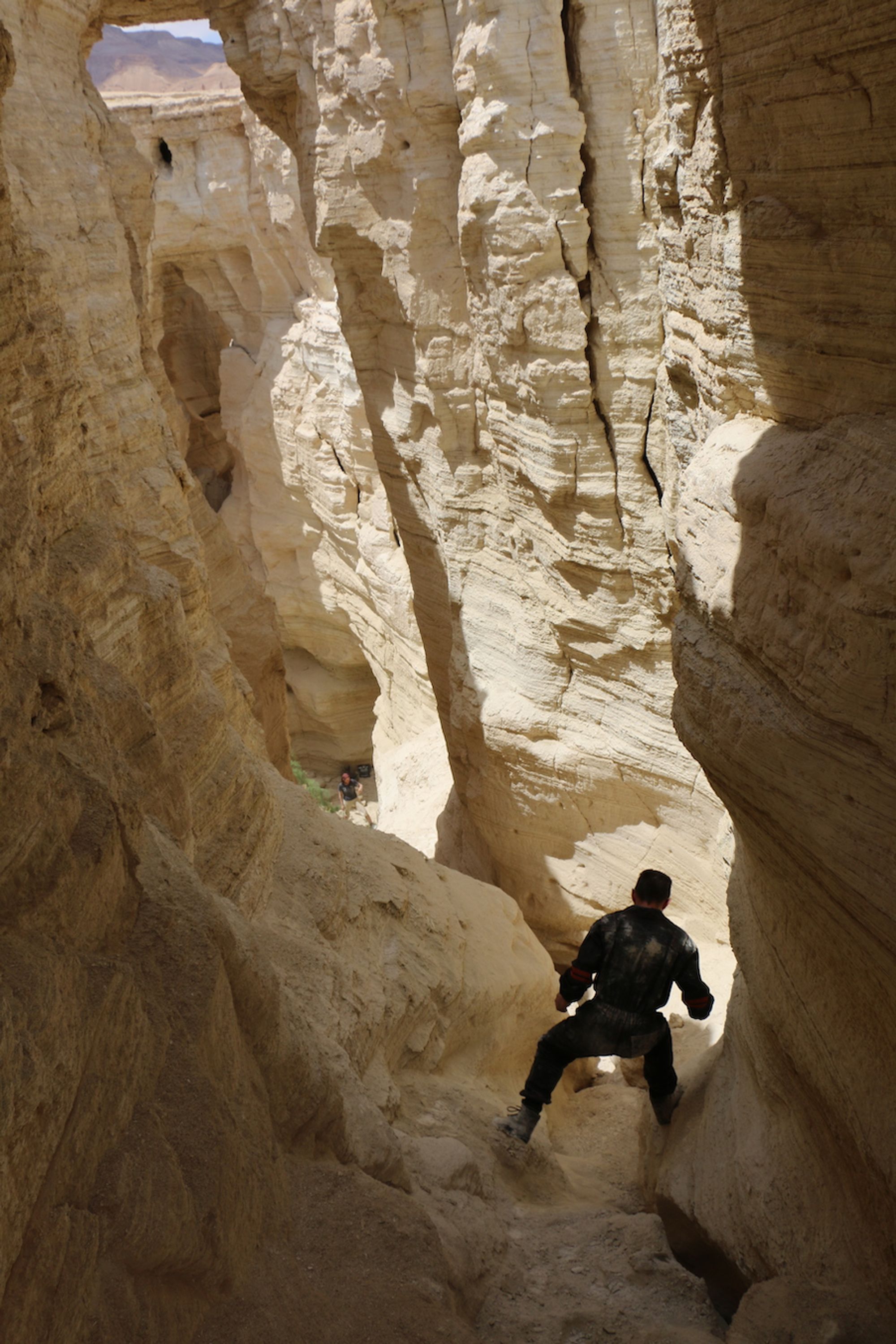
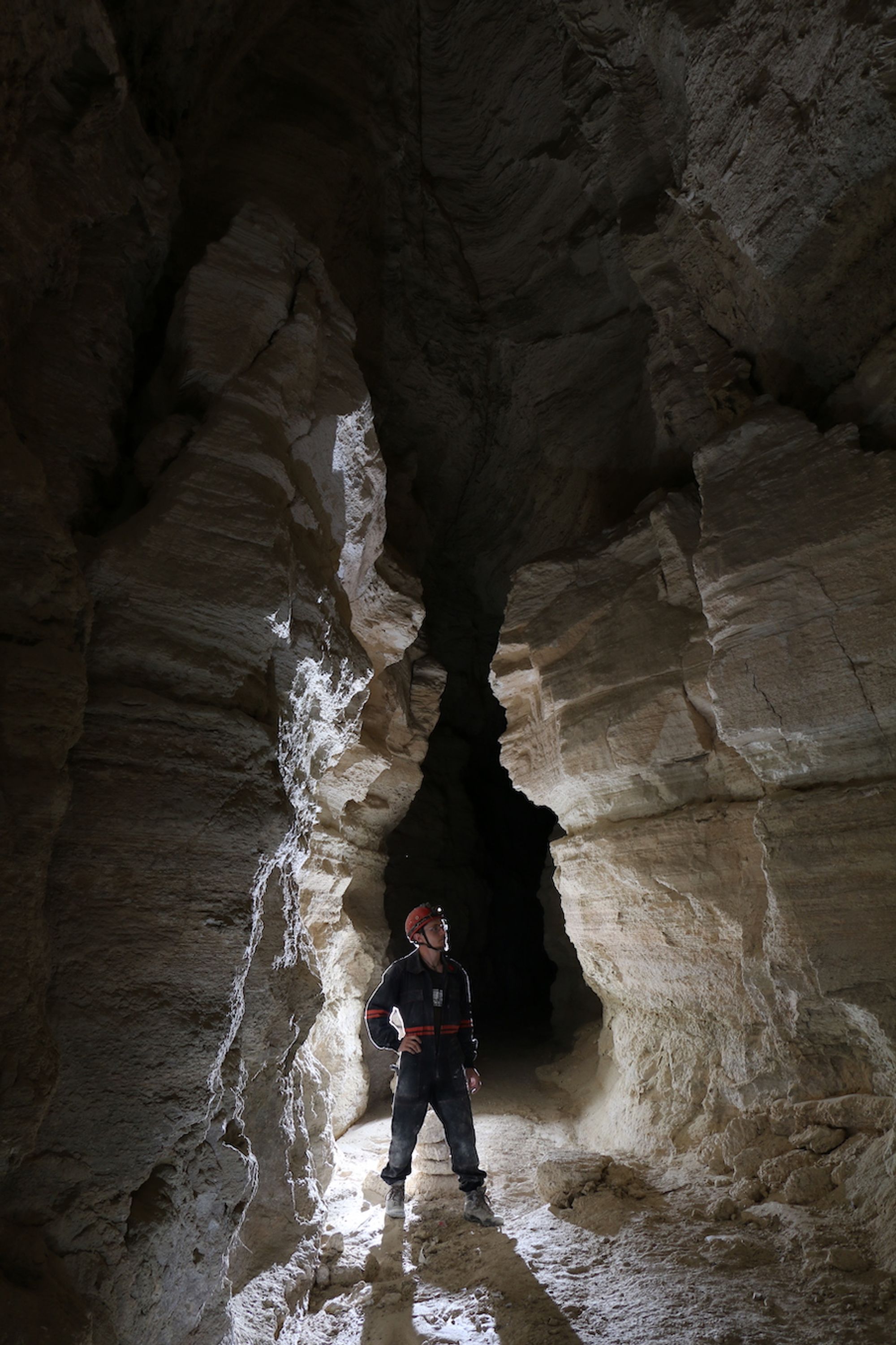
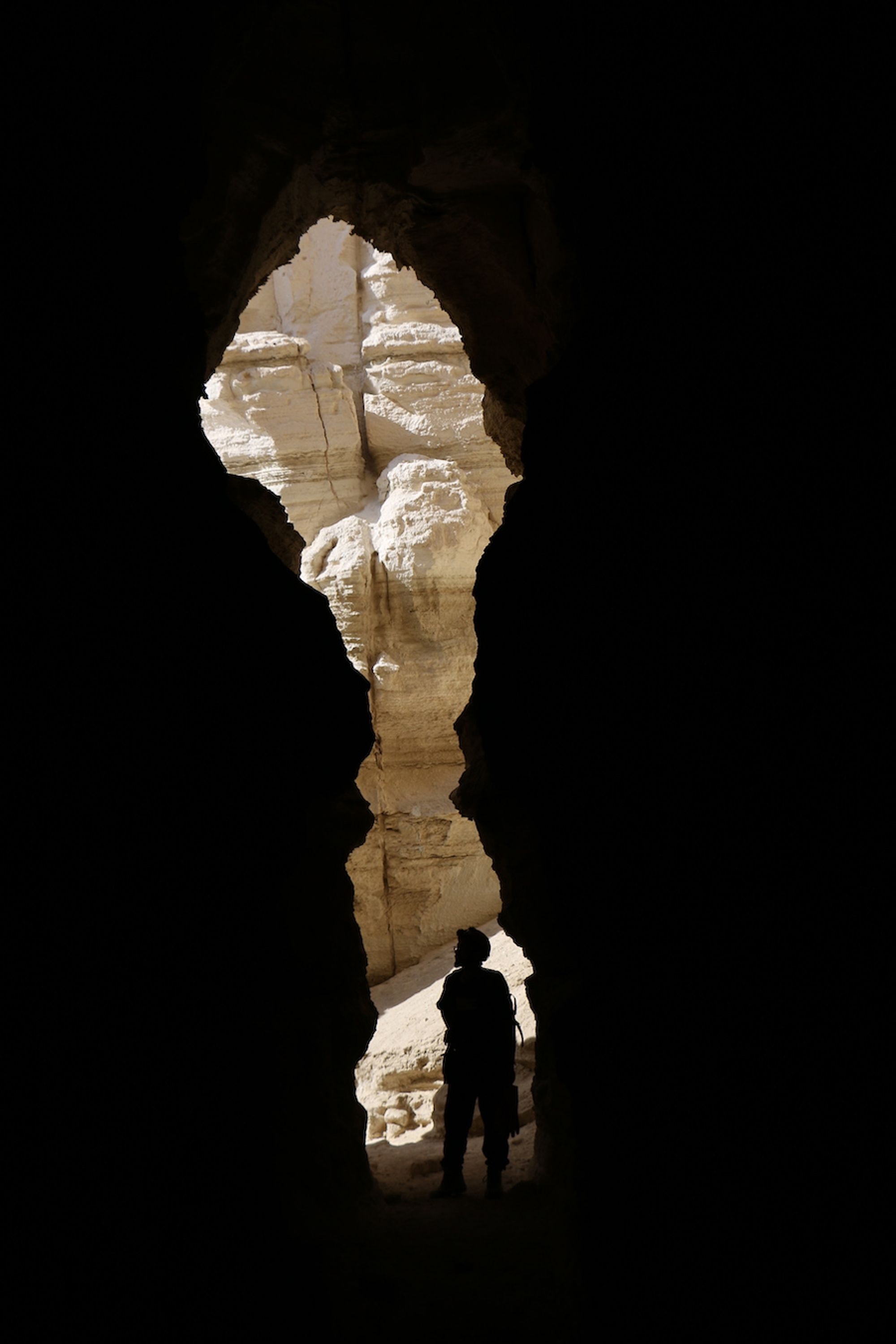
The main openings of the cave are the tops of the collapse bells, where convenient entry is not possible. Entry today is possible through the lower entrance of the cave, which opens in a narrow canyon alongside the bed of Nahal Amiaz. The entrance drains a high passage 150 m long, whose head is in the collapse bells and whose end is in Nahal Amiaz. Its general direction extends from the entrance to the southeast, advancing in wide meanders. Along considerable parts it can be seen that the passage follows clastic dikes that cross the host rock, without development of local meanders. Collapse domes appear along the passage, usually without rockfall piles on the floor. A flash-flood channel runs along the passage and removes the products of collapse, leaving large gypsum blocks, since transporting these requires higher energy than the capabilities of the cave channel. Stream terraces appear at various points along the flow channel, usually forming a low step at the sides of the channel. At several points various terraces appear that look like high, narrow shoulders, 3 m above the floor. In its upper part the passage connects to the center of the collapse bells. These consist of three open bells, forming a line of connected halls. The line of halls extends on an east-west axis, and drains shallow channels from the surface. All the channels join in the central bell, in which several young tamarisk trees grow. The western bell drains a channel that falls through it in a vertical waterfall. In the center of the bell there is an intermediate step, from which the channel continues and descends in another waterfall to the central bell. An eastern channel enters the system gently, incising into the floor of the eastern bell.
Another bell, which is not part of the three mentioned, appears south of them, and forms the upper end of the entrance passage. From the point of connection between the entrance passage and the bells, the passage crosses to the south and continues along this line while its dimensions gradually narrow. A collapse in the ceiling creates a wide vertical connection with the southern bell, where the convenient connection is at the head of the passage, where there is a narrow passage to the floor of the bell. Unlike the central line of bells, in the southern one there is no active channel, so its floor is covered with rockfall boulders and many collapse products. In the walls of the center of the bell, active nesting of the Sinai rosefinch was observed.
Written by: Boaz Langford
Elevation: -260 m