Nahal HaBesor Pits, Negev
- Location
- HaRoeh Dam
- Elevation
- 480 m above sea level
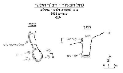 Cave mapView the map (PDF)
Description of the cave:
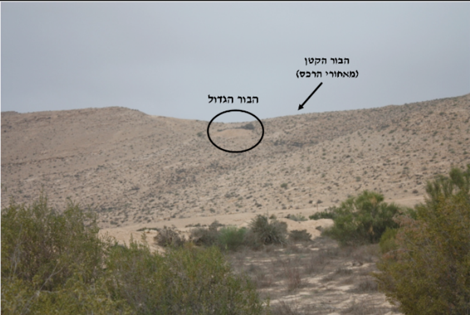
The Nahal HaBesor pits are a pair of small karst pits that developed in limestone of Turonian age and were exposed near the crest of a gentle ridge line that forms the watershed between the streambed of Nahal HaBesor and that of Nahal Boker. Judging by the shape of the pits and their location, it appears that these are natural pits that developed by phreatic dissolution processes. After their exposure, at some stage, the pits were prepared as water-collection cisterns.
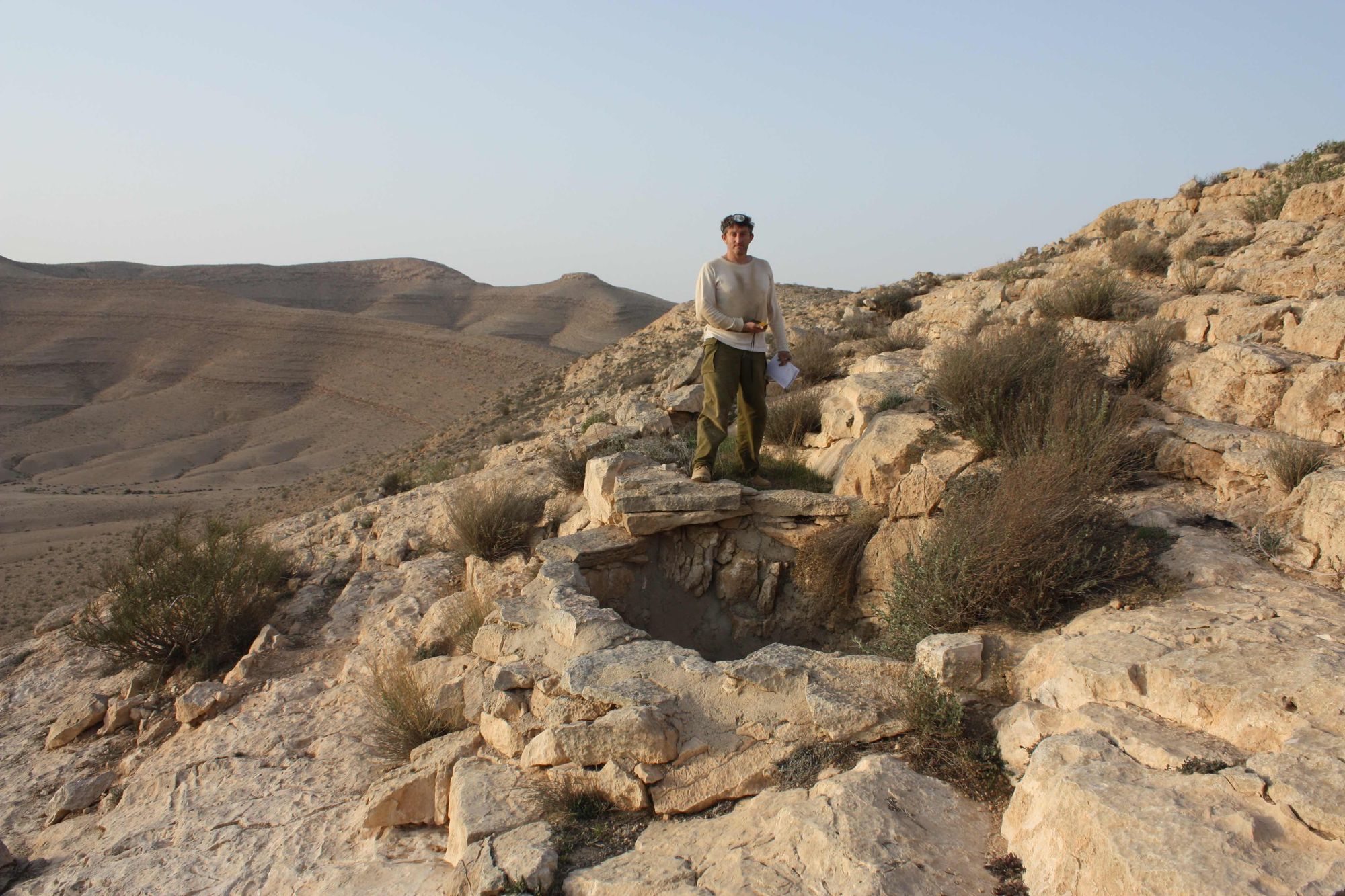
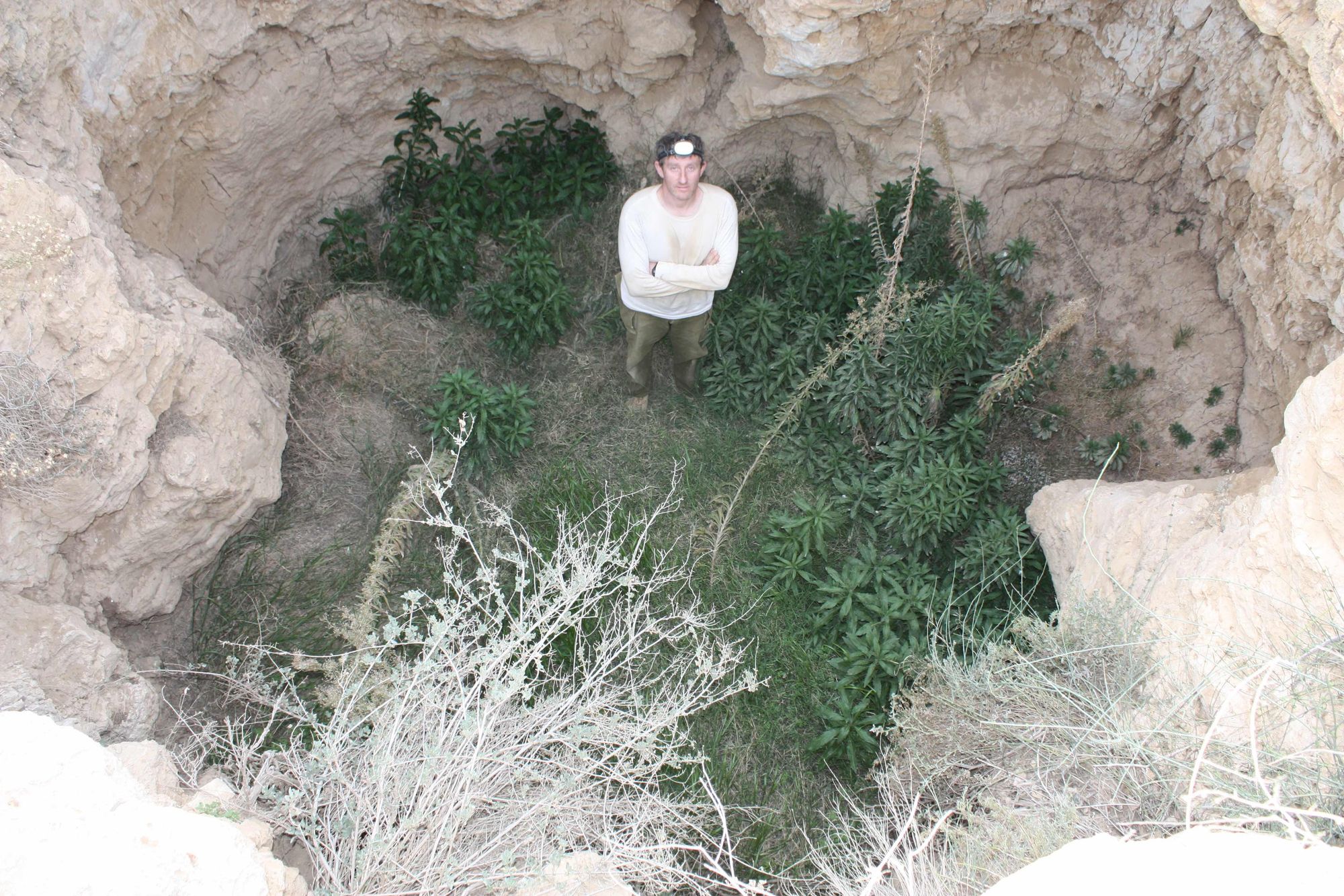
The large pit (Grid ref. 126472/034650) consists of a wide vertical space, about 4 m in diameter and about 5.5 m deep. The floor of the pit is horizontal and covered with loess soil. Near the entrance there is a pile of earth that was apparently removed from the floor of the pit, perhaps during attempts to prepare it as a water cistern. These attempts can also be seen in a pair of channels for collecting runoff dug north and south of the pit entrance. 60 m northwest of the pit entrance, on the western side of the watershed, at the top of the slope of the Nahal HaBesor bank, there is another pit - the small pit (Grid ref. 126412/034677). The pit is about 2 m wide and about 4 m deep. It appears that this pit too was prepared to serve as a water cistern, in this case much more successfully. The walls of the pit are plastered with a thin layer of concrete and a built channel, for collecting runoff, connects to it from the north. During the visit to the pit (February 2011) an active pigeon nest was found on its floor.
Access:
- The pit entrances can be reached from HaRoeh Dam.
- The descent to the floor of the pits does not require the help of a rope.
Written by: Boaz Langford