El Jamal Cave, Samaria
- Location
- Nahal Kana basin
- Elevation
- 250 m above sea level
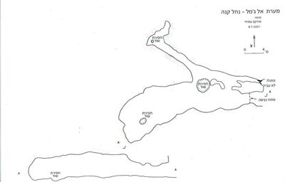 Cave mapView the map (PDF)
Description of the cave:
El Jamal Cave is a medium-sized cave consisting mainly of a wide space and a pair of passages. The cave was formed by hypogenic dissolution in limestone of Turonian age (Bina Formation).
The cave was surveyed by the ICRC in the early 1980s and was subsequently published by Aviter Cohen in Nikrot Tzurim booklet no. 6, page 65 (Cohen, A. 1982). That report gave general details about the cave as well as a general map of its spaces. A further report on the cave was given by Achikam Amichai, who visited the site in July 2007. The visit to the cave was carried out as part of a survey of nature and landscape sites conducted by the Nature and Parks Authority in the Nahal Kana basin. The details of the cave, as well as an updated map of it, were published in the survey booklet.
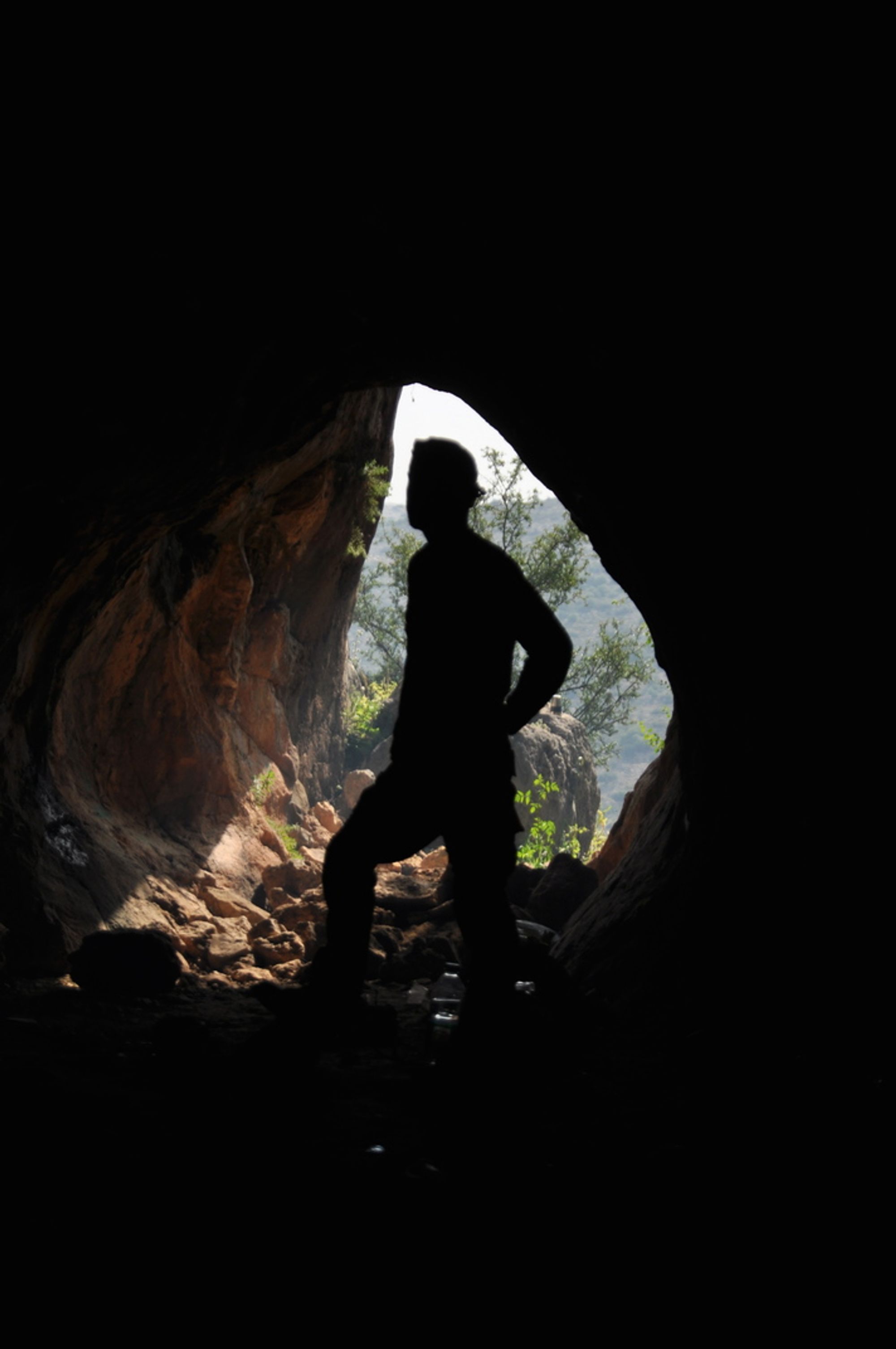
The cave has a hidden opening in a local cliff, at the top of the north bank of Nahal Kana. The opening measures 2X3 m and is rounded. In front of the opening there are prickly pear bushes and carob trees, growing in the gap between the cave opening and a vertical cliff a few meters east of it. This cliff is conspicuous from afar, which makes it possible to identify the surroundings of the cave opening.
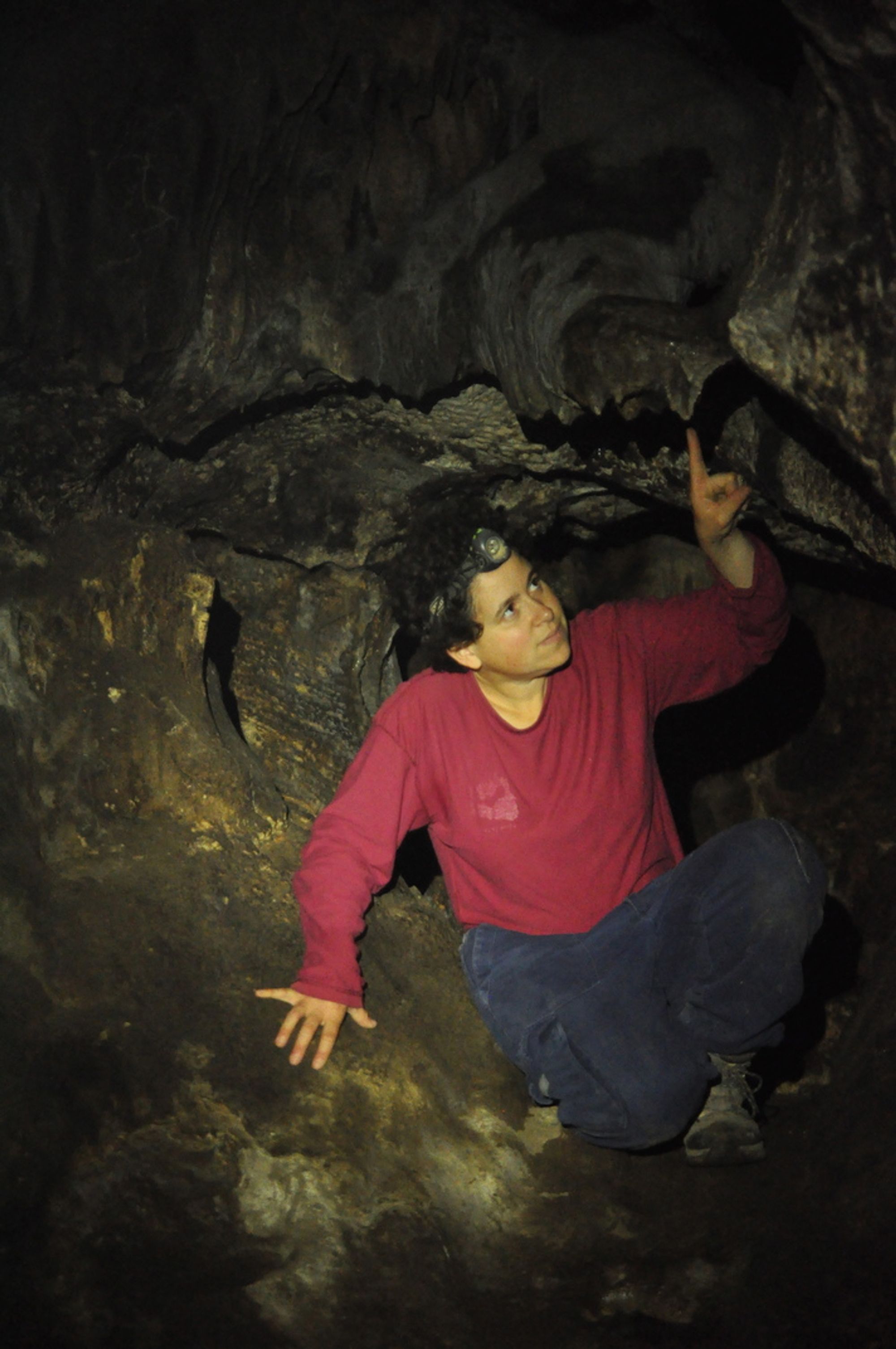
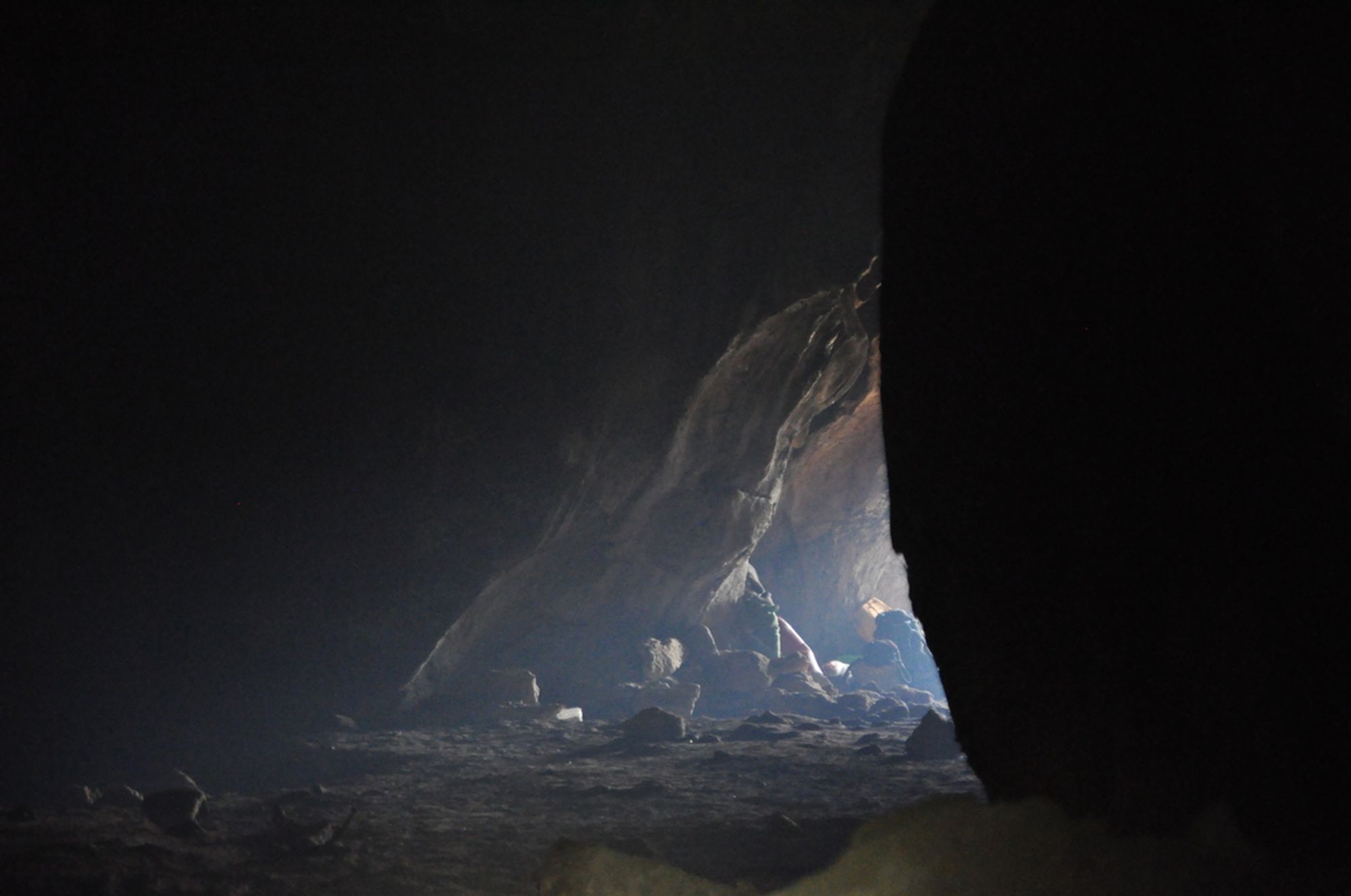
From the opening an elongated horizontal chamber continues east, measuring 28X6.5 m and up to 5 m high. The chamber floor is horizontal and covered with a layer of dark soil, on which a few stones that entered through the opening are scattered. Constant dripping at various points created calcite deposits on the floor in the form of small cones (canolites). The chamber ceiling is convex with prominent rounded dissolution domes, and part of it is covered with weathered cave deposits. A layer of black soot covering the cave walls and ceiling was created by deliberate burning of tires. The fires are set by Palestinian shepherds who visit the place, and they may have been intended to keep away ticks and allow a safe stay in the cave. Modern refuse scattered in the space is another remnant of the shepherds' use. This part of the cave is lit to semi-lit during most of the day, which allows a comfortable living environment for the arthropods that inhabit the place (spider species and an arinamal were observed). The dark part of the cave is a narrow passage that runs parallel to the north side of the chamber. Entry to the passage is possible through a pair of openings in the north wall of the chamber, near the cave opening. The openings are separated by a natural rock pillar covered with speleothems. From the openings the passage continues east up to the cliff in which the cave opens, and also west, where it is blocked after about 15 m. As it advances the passage space narrows; its general shape is rounded and few cave deposits cover its walls. In the floor of the center of the passage there is a tiny water pool covered with a thick crust of calcite.
In the cave space a few potsherds were found, dated to the Early Roman period and perhaps also to the Early Muslim period. Judging by the looters' pits dug in the large chamber and in the passage next to it, it appears that the archaeological remains are only a small part of what the cave once contained.
Access:
- Access to the cave opening is possible on foot from the gate of the settlement toward Matan.
Written by: Boaz Langford
Total length: 71 m