Ein Maara - Wadi Hakim
- Grid ref.
- 156356/158964
- Location
- Wadi Hakim - Western Samaria
- Elevation
- 303 m above sea level
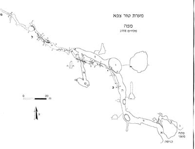 Cave mapView the map (PDF)
Description of the cave:
Ein el-Maara is a small spring that flows inside a cave space exposed on the eastern bank of Wadi el-Hakim. The cave consists mainly of a pair of small spaces that developed in limestone of Cenomanian age (Beit Meir Formation). The cave appears on the topographic maps alongside other springs flowing in the stream basin. The concentration of springs is used by the Palestinian residents of the area to irrigate orchards and as the water source of a developed water park that includes pools, amusement facilities and cafes. The spring cave was surveyed and mapped by the ICRC team (Shmulik Avidan and Boaz Langford) on 4.3.14.
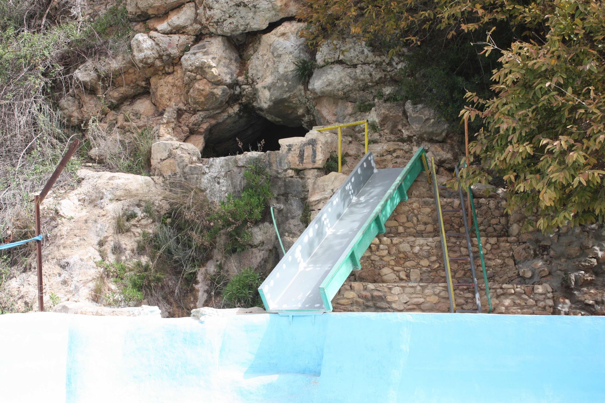
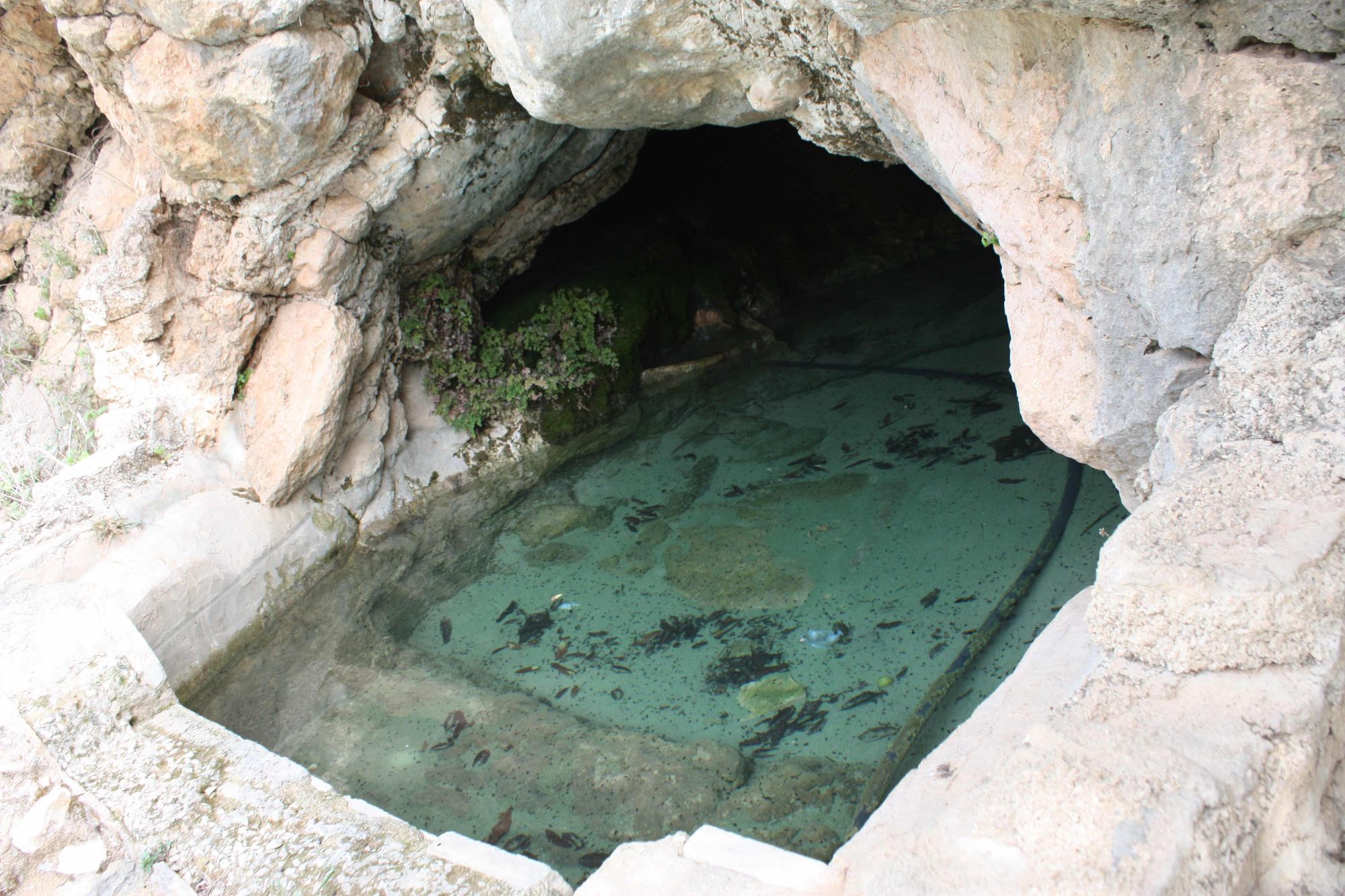
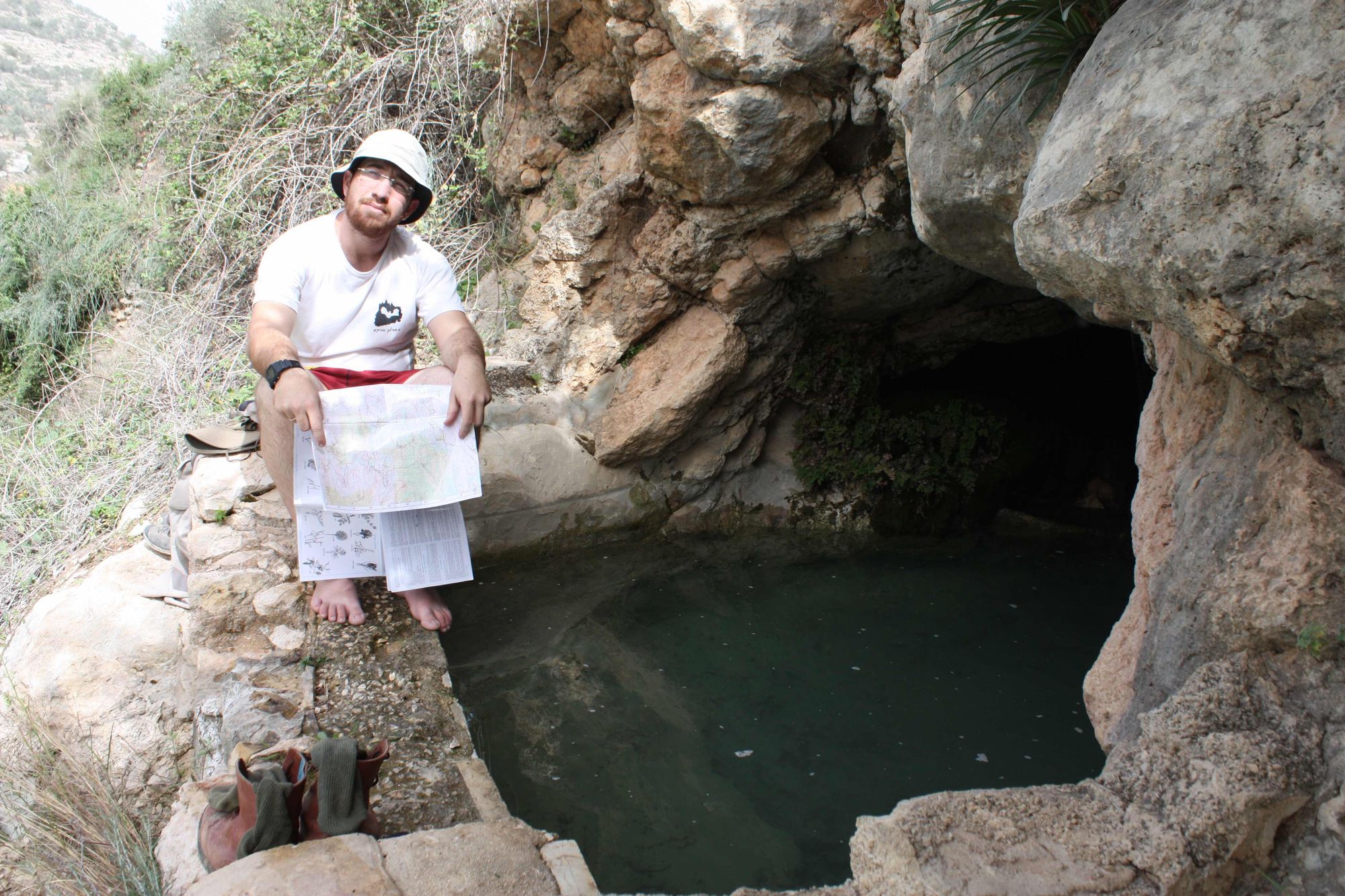
The cave entrance opens in the cliff on the western bank of Wadi el-Hakim, a few meters above the streambed. The entrance is rounded and measures 3X2.5 m. The front of the entrance was blocked by a low concrete wall, which creates a shallow pool at the site whose water is channeled to a water slide built nearby. The area of the pool spreads across the full width of the entrance space, which consists of a small room in whose ceiling a shallow dissolution dome opens. A weak stream of water descends into the entrance space from several directions.
Access:
- The cave entrance can be reached on foot from the settlement of Beit Arye or by driving on the road connecting the village of Abud with the village of Beit Dima.
Written by: Boaz Langford
Cave name: Ein el-Maara