Dorbanim Cave
- Grid ref.
- 171734/263943 (Old Israel Grid)
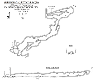 Cave mapView the map (PDF)
General:
Dorbanim Cave is a medium-sized cave, consisting of several horizontal passages in a two-dimensional network-like structure. The passages of the cave developed in limestone of the Bina Formation. These rocks form at the site a magnificent landscape of prominent cliffs, as well as isolated rocky outcrops standing out among the trees of the dense woodland.
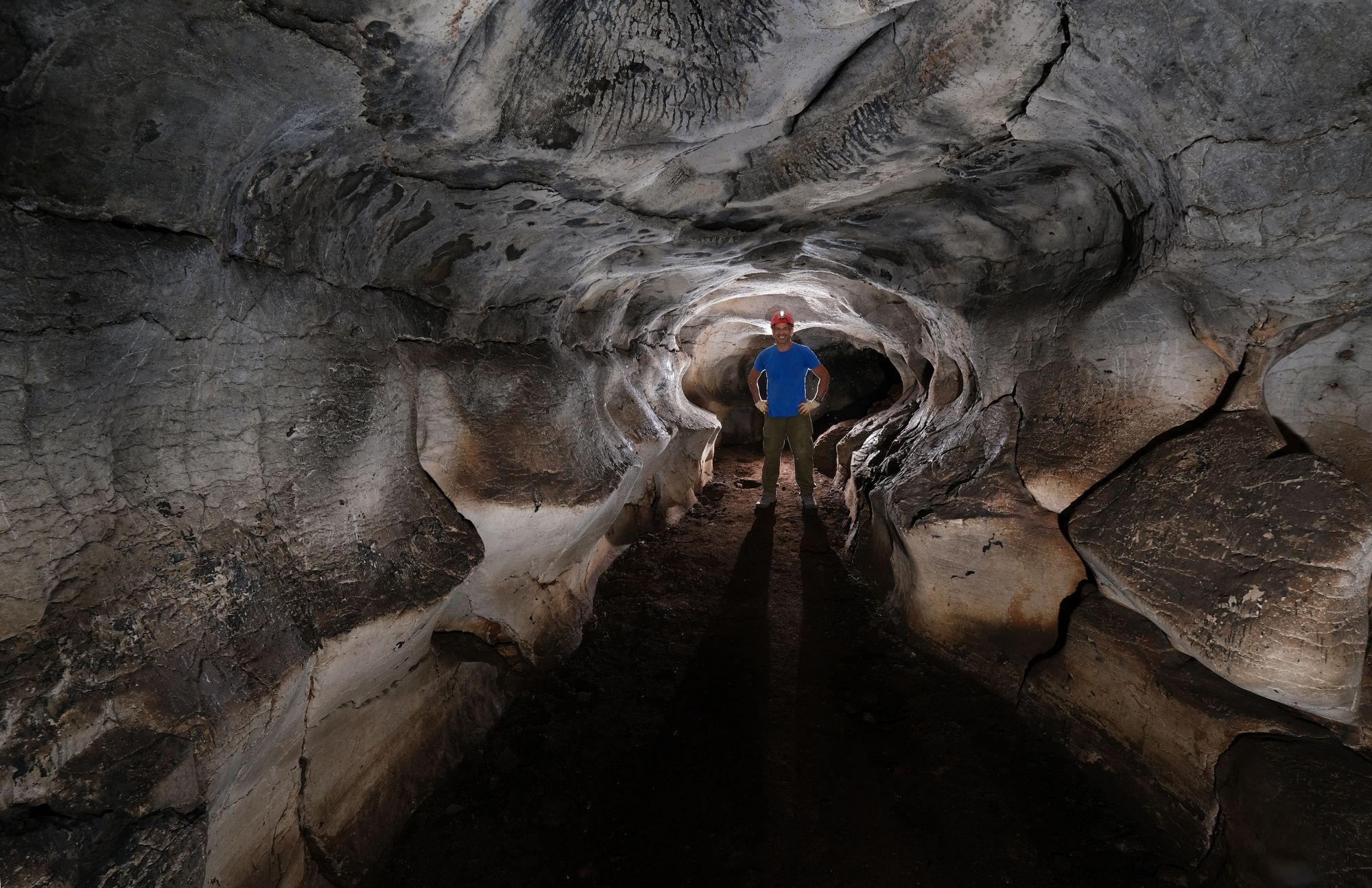
The total length of the cave is 97 m and its maximum depth reaches 4 m. Rounded dissolution in the form of dissolution domes and an elliptical cross-section, together with the overall structure of the space, indicate that the cave was formed below the water table. The development of the space in the aerated zone includes: exposure of the opening, deposition of sediment on the floor, and limited deposition of speleothems (mainly stalagmites and stalactites). After the opening was exposed the cave was used by humans, as can be seen from a few potsherds scattered in the space (Mamluk potsherds and perhaps also earlier ones).
The cave is known to the residents of the village of Jatt, who say that it extends all the way to Safed. Its name is carried far and wide as a cave in which porcupines dwell (hence its name 'al-Maniasa' = porcupine burrow), which attracts hunters to the place from all the villages in the area. The cave was mapped by the ICRC twice: in 2008, by Elhanan Kleinberg and Omri Abadi, and in 2014, by Nevo Fishbein, Shalev Avni and Daniel Ben-Tov.
Description of the Space:
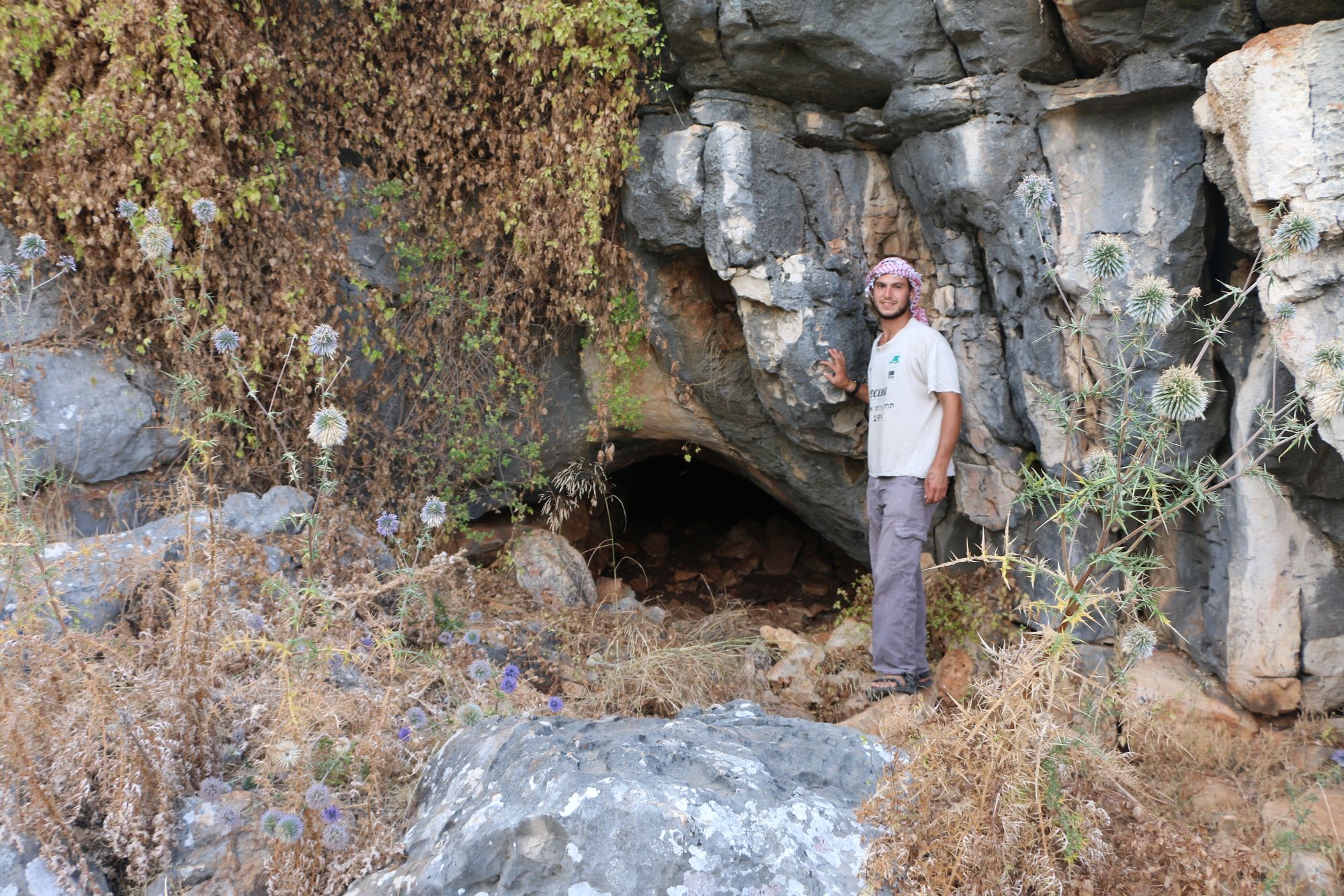
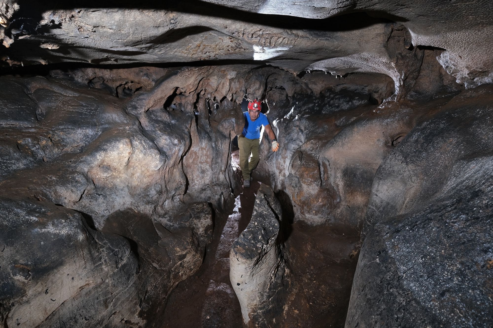
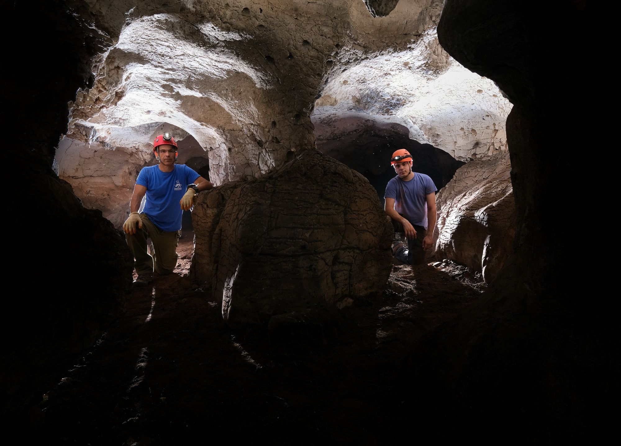
The cave has a vaulted opening cut at the bottom of a line of cliffs, west of the houses of the village of Jatt. In the inner part of the opening a low fieldstone wall was built, perhaps as part of the ancient use of the place or alternatively for porcupine-hunting purposes. The opening leads to a horizontal, semi-lit space, which is none other than the southwestern part of an elongated corridor extending east. The floor of the space is covered with dark soil and a few stones, while its ceiling is rounded and covered with black soot. A few light-colored soda straw stalactites stand out against the soot, which originates from the burning of plastic pipes. The burned pipes served as improvised torches for casual visitors. In the floor there are diggings and shallow excavations made by treasure hunters and antiquities looters. In its inner part the space splits into a pair of parallel passages, which immediately merge into a single passage. The passage extends north, along with increasing humidity in the air. The inner part of the passage looks like a wide room in whose ceiling a shallow and impressive dissolution dome is cut. At the eastern end of the room there is a narrow passage, around which flowstone sheets and stalactites were deposited. A local junction east of the passage allows a short advance west or east. Both branches end in a narrow, impassable passage, in which many cave deposits appear. In the center of the eastern branch there is a shallow pool dug into the floor, which holds water all year round.
Animals: A few various arthropods were observed in the cave, such as: centipedes and a few spiders. In the summer months the cave is inhabited by a population of small flies that dwell on the walls of the center of the space, in the area of transition from the dry zone to the humid zone.
Bat Presence:
October 2008: two individuals of an insectivorous bat of the genus Asellia were observed in the cave.
June 2019: a few concentrations of guano were observed around the pool at the inner end.
September 2019: no bats were observed and no guano was seen.
Written by: Boaz Langford, after a visit to the site with: Fahim Sabiti, Raz Ben-Yair, Shalev Avni, Ofer Avni, Roy Haba, Reuven Zaki, Ziv Zaki, Yuval Sobolev, Ayala Oren.
Region: Western Galilee
Elevation: 300+ m