Dalak Cave, Nahal Te'enim - Nahal Te'enim Survey, Western Samaria
- Grid ref.
- 163661/183443
- Elevation
- 306 m
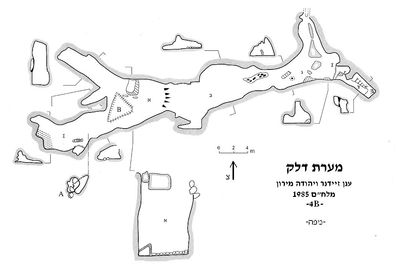 Cave mapView the map (PDF)
General:
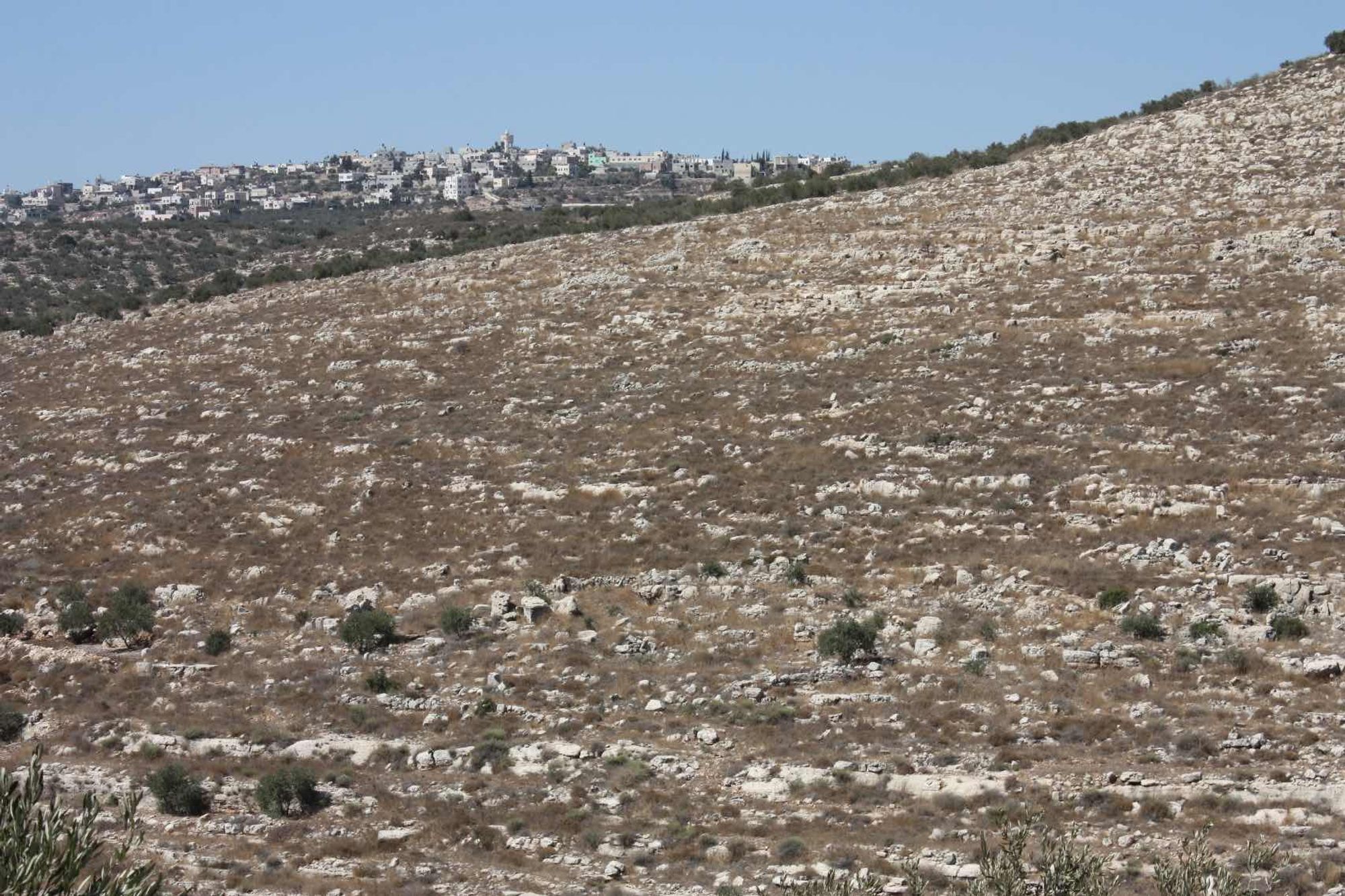
Dalak Cave is a medium-sized cave (total length 93 and maximum depth 16 m), consisting mainly of an elongated chamber that developed in limestone of Cenomanian age (Weradim Formation). According to the general shape of the chamber, it can be assumed that it originally formed below the water table. The abundant cave deposits that appear in all parts of the cave indicate a vadose activity stage, which took place after the space was drained of water. The entrance was exposed by a local collapse in the western part of the cave chamber. The entrance is exposed in the northern bank of Nahal Te'enim, about 2 km south of Beit Lid and a similar distance north of Kafr Qaddum.
The cave was discovered in the early 1980s by an ICRC team, which was led to the place by a Palestinian resident of Kafr Qaddum. After the discovery the cave was mapped by Anan Zeidner and Yehuda Miron (November 1984).
The name of the cave was given to it in June 1985, after a tour by the ICRC, the Ma'ale Efraim school and the Ofra school, when a pair of adult martens with two cubs were seen at the cave entrance. Before the tour the cave was called 'Kaddum Cave' or by its Arabic name 'Bir al-Hamam'.
Description of the cave:
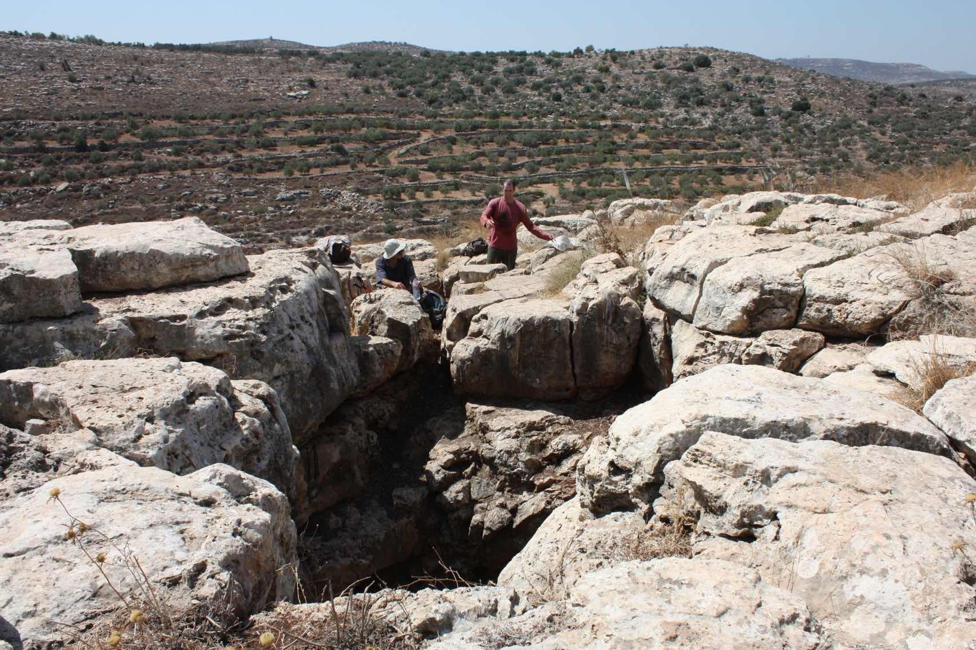
The cave has a pair of entrances that open in the lower third of the slope of the northern bank of Nahal Te'enim. The surface in the vicinity of the entrance consists of a bare rocky slope covered with sparse batha vegetation. Around the entrance there is a limited rock surface, on which the cave entrances open side by side. The large entrance opens in the center of the rock surface, its dimensions are 3X3.5 m and its general shape is rounded. The entrance opens vertically in the ceiling of the central space of the cave, so that entering through it is possible only with aids (ladder/rope). The small entrance opens west of the large one, its dimensions are 0.5X0.5 m and entering through it is possible without any aids.
The small entrance leads to a series of narrow, vertical and horizontal passages, which ultimately lead to the westernmost side of the cave. The series of passages formed between a pile of collapse rocks blocking this area of the cave. On the cave walls in this area there are cave deposits in which tree roots became fossilized... evidence of the character of the surface before the deforestation of Samaria.
At the bottom of the collapse rocks there are low horizontal passages extending several meters west. In these spaces coarse potsherds were found, which can probably be dated to the Intermediate Bronze Age. Except for this spot, no archaeological remains were found in the cave, probably as a result of damage to it in the many visits conducted there.
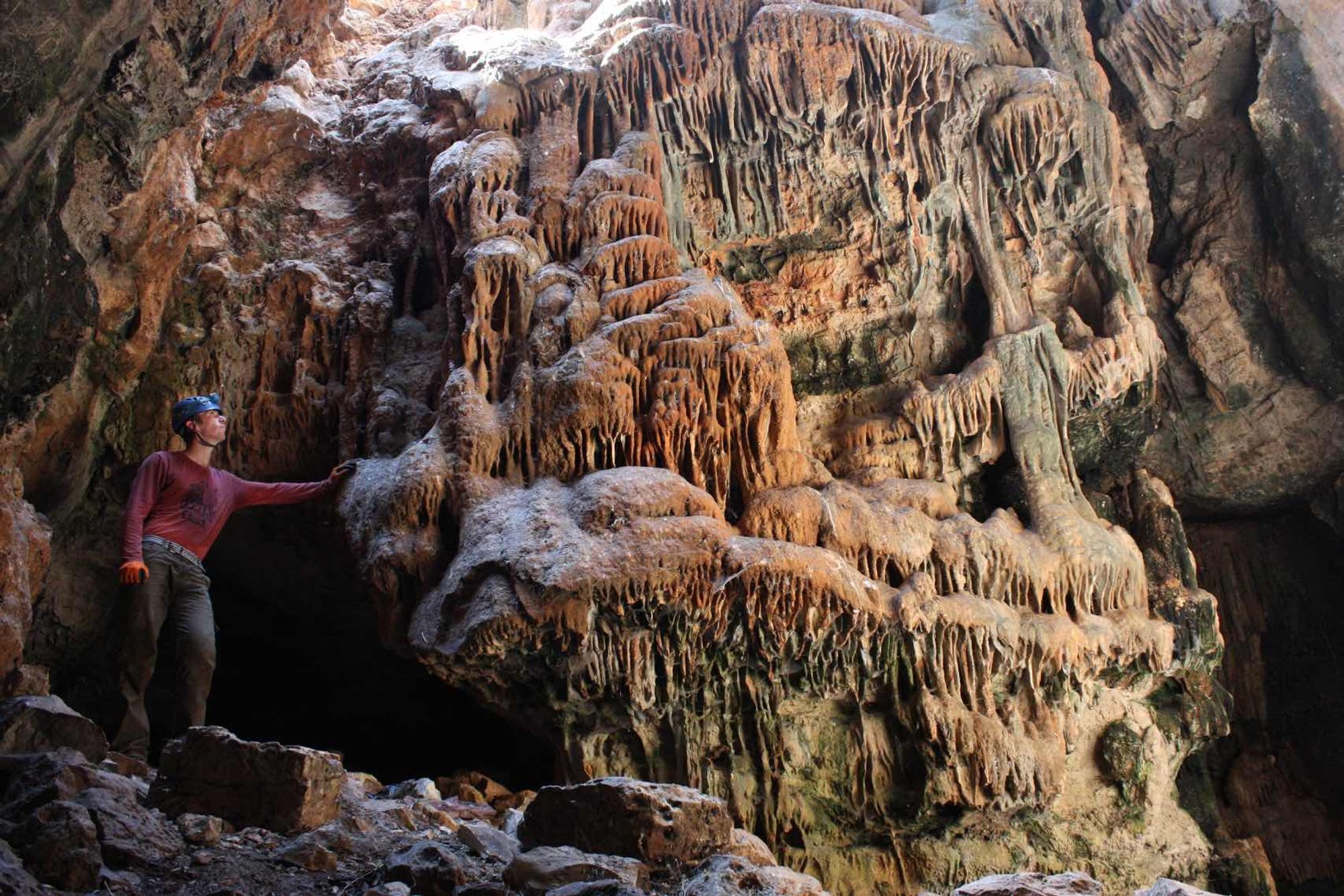
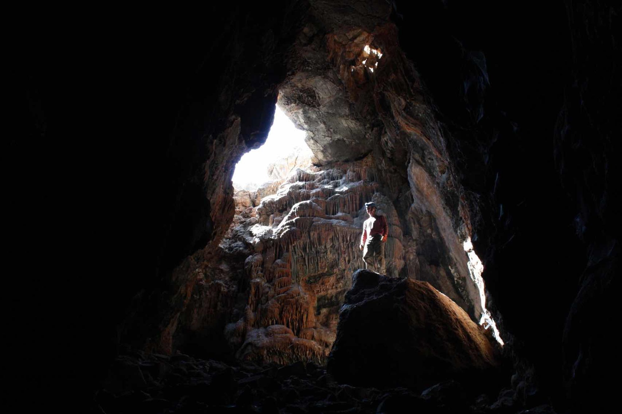
East of the passages extends the main part of the cave space, which in this area consists of a wide and tall room that is well lit by sunlight penetrating from the large entrance of the cave.
The floor of the space is covered with collapse rocks and many stones, between which dark sediment containing a high percentage of organic matter was deposited. The walls of the room are upright and covered with many cave deposits, most of which are very weathered and inactive. It is possible that the formation of the cave deposits preceded the collapse of the cave ceiling and the creation of the large entrance. On the northern side of the western part of the space there is a horizontal passage extending west, parallel to the passages of the small entrance area.
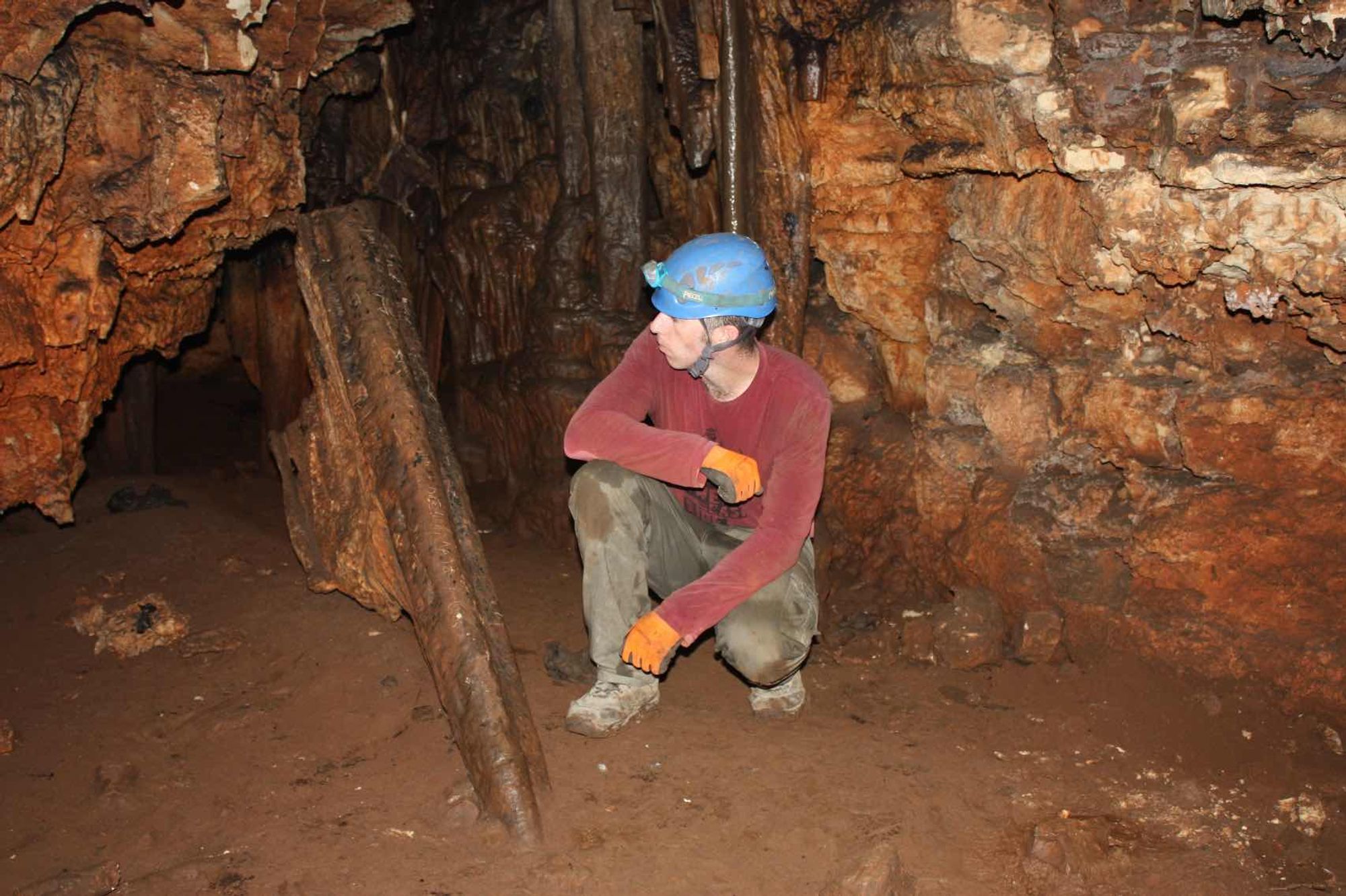
In the ceiling of this passage a large, impressive nest was seen, which may belong to a bird of prey (September 2015). On the eastern side of the entrance space the floor slopes down to the east and after a few meters becomes horizontal, and its composition also changes from stone scree to a dark, muddy clayey sediment. In this area the cave space consists of a closed corridor, divided by several columns into a number of separate passages. The entire corridor area is decorated with developed cave deposits, some of which still drip water.
All the cave deposits were damaged by attempts at removal or by being covered with black soot. Some of the large stalactites that developed in the corridor fell in the past and became stuck in the muddy sediment on the cave floor. Their fall may be related to seismic activity that occurred in the area.
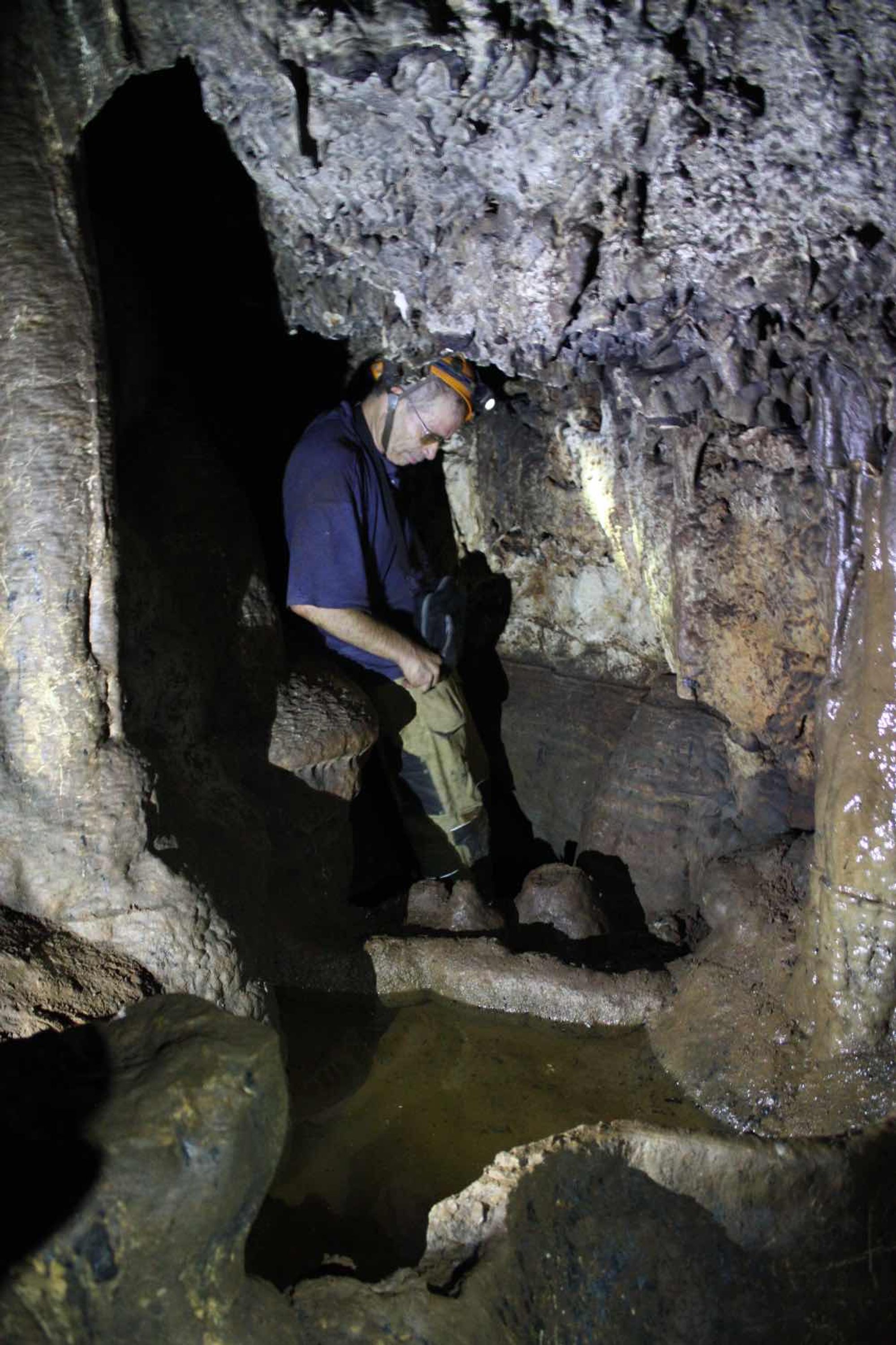
At the end of the corridor, which is also the end of the cave spaces, there is a small water pool bounded by an impressive calcite dam. Its thickness is 10 cm and its height reaches 60 cm (!). This dam is without doubt one of the most impressive pool deposits in all of Israel and it testifies to the intensity of the vadose activity that took place in the cave in the past.
Written by: Boaz Langford
Region: Samaria