Nahal Bokek Cave
- Grid ref.
- 18331/067834
- Location
- Nahal Bokek
- Elevation
- about 33 m below sea level
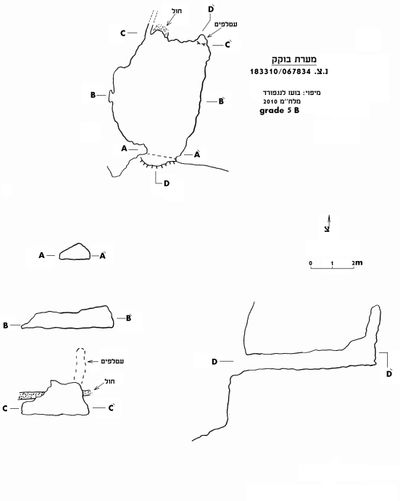 Cave mapView the map (PDF)
Description of the cave:
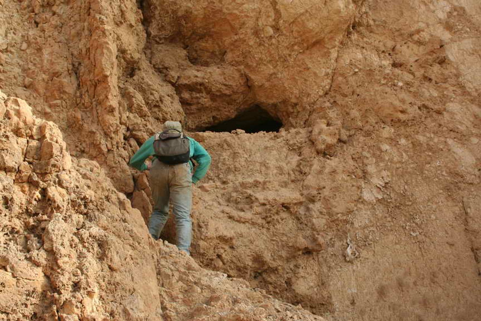
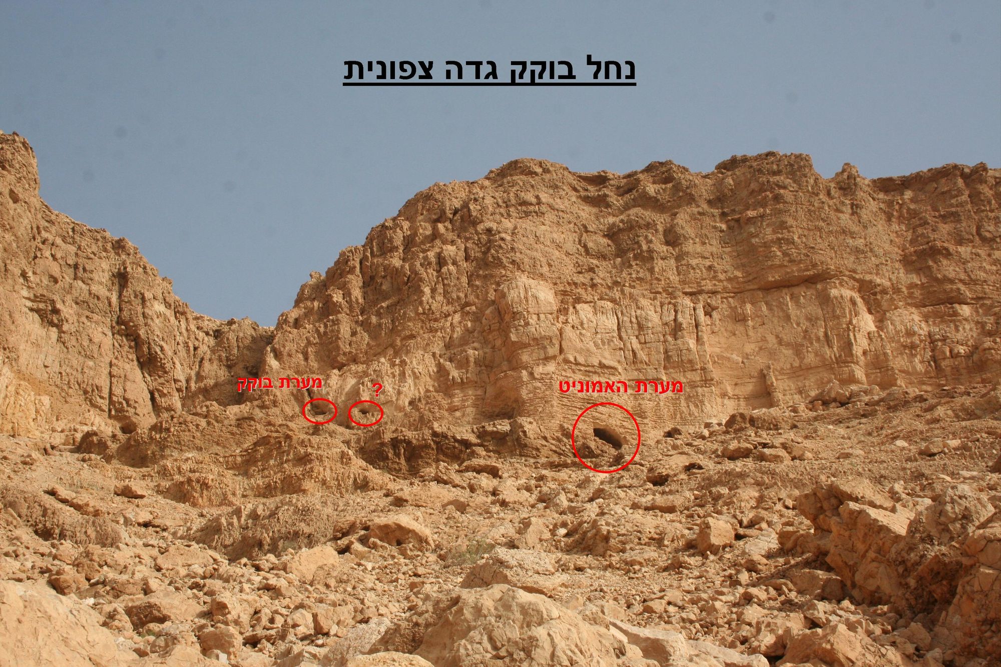
A small cave gaping in the cliff of the northern bank of Nahal Bokek, near the mouth of the stream, about 70 m west of the Ammonite Cave. The cave has a single space measuring about 5.5X4 m and about 0.8 m high in the area of the opening and 1.5 m and even more at the end of the cave, where there is marked dissolution in the cave ceiling to the point of forming a chimney-like dissolution dome. In this dissolution dome, many signs of the presence of bats were seen at the time of the visit: dark stains on the walls, guano, urine stains.
The cave opening is small and concealed, measuring about 0.8X1 m and vaulted. The opening leads to a wide, low chamber that grows higher from the cave opening inward. In the cave there are signs of phreatic dissolution in the form of dissolution domes, as well as a passage with an elliptical cross-section located at the end of the cave on its western side. Near this passage a thin horizon of a sand layer, inclined toward azimuth 240, appears in the cave walls.
The cave floor is covered by a layer of soil containing hyrax and hyena droppings.
Access:
The cave can be reached from the bottom of the stream by climbing to the base of the cliff. The cave opening gapes about 2 m above the base of the cliff and the climb to it is easy.
Written by: Boaz Langford