Beitin Tunnel
- Location
- Center of the village of Beitin
- Elevation
- 885 m above sea level
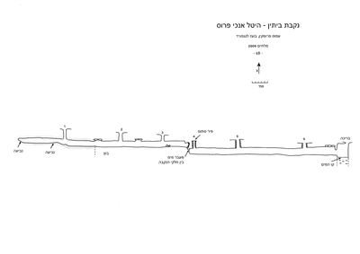 Cave mapView the map (PDF)
Description:
Beitin is a large village built on a broad hilltop separating Wadi Shiban - to the south, from Wadi al-Mutzit - to the north. In the south of the village is Tel Beitin, identified with ancient Bethel (B. Zissu, doctoral thesis).
In the center of the tel is Beitin Tunnel, about which Prof. Amos Frumkin wrote in "Israel Guide" 1978:
"... The location of the city was chosen because of the spring on its southern slope. The spring has a tunnel 90 m long with 5 shafts. Its water was stored in a giant pool (about 140X80 m) and today it flows to a "well" in the floor of the pool (the pool is marked on the 1:50,000 map but the spring is not). Other springs flow northwest and south of Beitin...."
During a mapping visit to the tunnel in 2009 the tunnel was mapped, and its description follows:
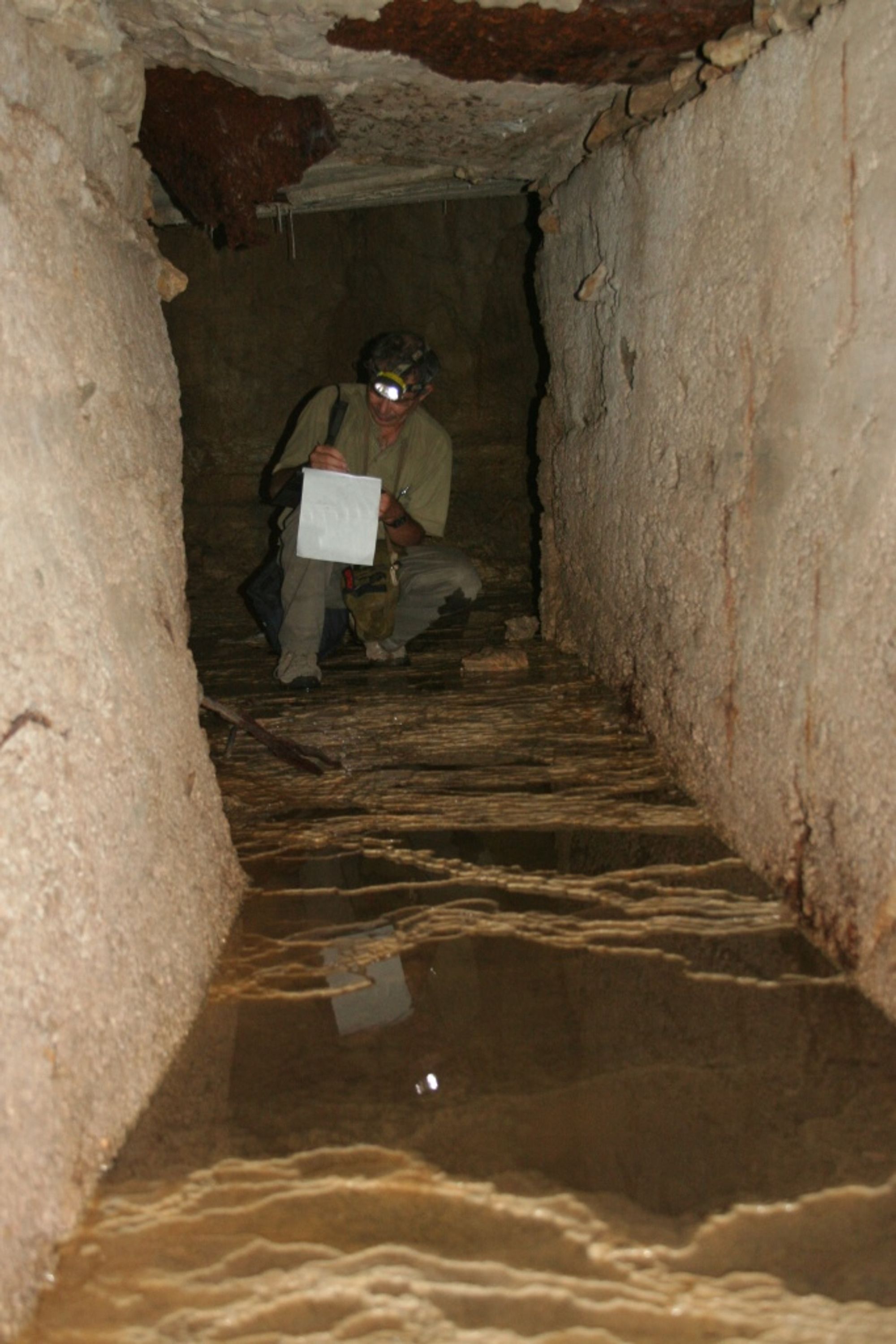
A long water tunnel divided into two systems with no passage between them (except for a passage for water), descending in a general direction from northwest to southeast. The tunnel has a square passage profile whose typical width is 1 m and typical height 1.3 m (Figure 4). The tunnel was opened by quarrying and digging, so that its dug part is lined and roofed. In a small number of places the original construction was preserved, which also included thick plastering of the walls, but along most of the tunnel the walls and ceiling are built of concrete - courtesy of the British Mandate.
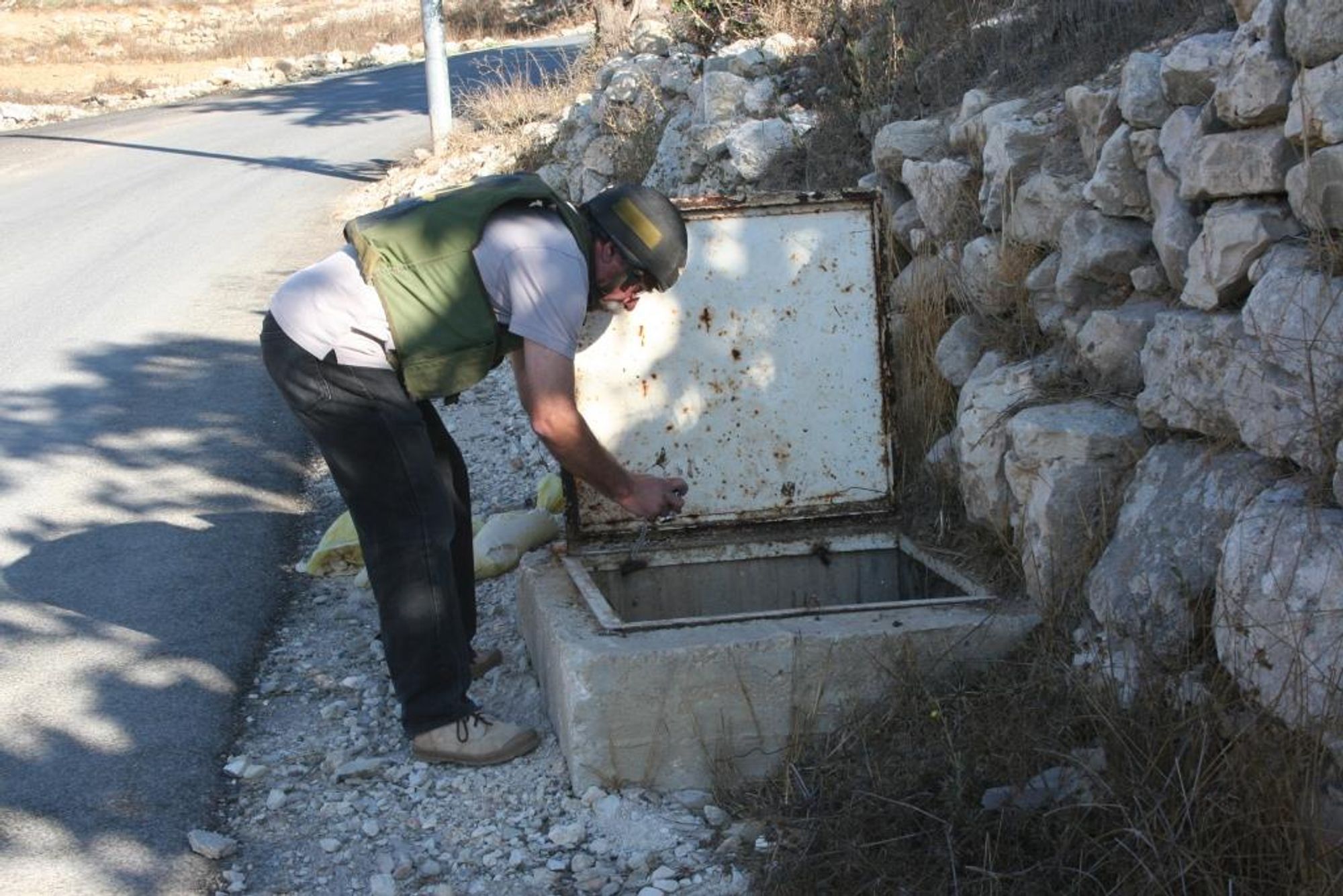
In both parts of the tunnel there are shafts descending from the surface to the tunnel, with an average height of 2.3 m (from the surface to the tunnel ceiling). The shafts are mostly covered with a locked iron lid and are built of concrete or of fieldstones. In total there are 5 shafts reaching the surface, and another shaft visible only from inside the tunnel (shaft no. 4).
At the end of the tunnel the water reaches a round, deep, covered water pool from which the villagers draw the spring water (Figure 3).
Beitin Tunnel - northern part (opening - Figure 1)
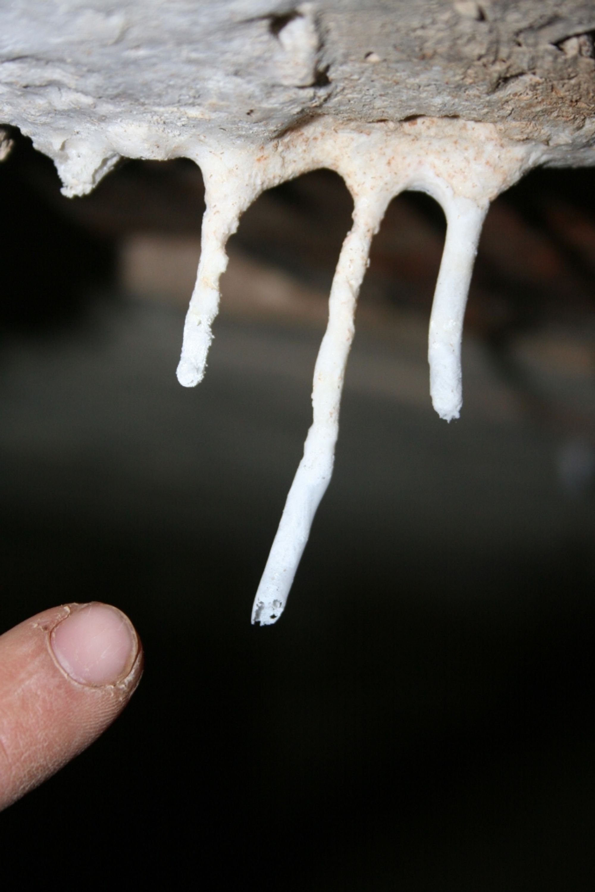
This part is the upper part of the tunnel. It is located north of the road crossing the tel. Above this part of the tunnel an olive orchard grows, and among the olive trees one can see the openings of the shafts descending to the tunnel. The length of this section is 53 m, descending at an average slope of about 2 degrees. The uppermost meters of this section are rock-cut, and this is also where the spring water emerges, creating in this area a massive layer of pool deposits (dams). About 20 m from the head of the tunnel its floor changes from rock to mud.
At the end of the tunnel there is a blockage through which one can hear the water falling from this point into the southern water tunnel.
Beitin Tunnel - southern part (opening - Figure 2)
The southern part of Beitin Tunnel is parallel to and beneath the road crossing the tel. The length of this section is 50 m, descending at an average slope of about 1.5 degrees. At the head of this part of the tunnel there is a small opening through which the water arriving from the northern part of the tunnel descends. At this point the tunnel walls are plastered with thick white plaster; in the ceiling there is a narrow, round shaft (shaft no. 4) built in original construction of fieldstones - this shaft is blocked and not visible from the surface. At the end of this tunnel there is a low passage leading to a round, deep pool in which the spring water is stored.
About 10 m before the water pool there is a narrow opening in the east wall of the tunnel, leading to a small niche built of fieldstones. The purpose of this niche is unclear.
Access and hiking:
- Access to the cave opening is not problematic in planning terms but is problematic in security terms.
- The descent into the tunnel is through the shafts (those that are not locked). It is possible to descend without a rope.
- No bats were observed in the tunnel.
Written by: Boaz Langford