Arqan a-Rob Cave Complex
- Grid ref.
- 191681/163498
- Location
- Southern Bika'a
- Elevation
- 169 m below sea level
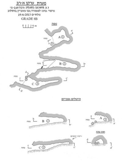 Cave mapView the map (PDF)
Cave description:
The Arqan a-Rob caves are small caves that developed in bedded and folded chert of Senonian age (Mishash Formation). The cave complex appears on the topographic maps, where its name also appears. The complex was surveyed and mapped in April 2013 by Vladimir Buslov, Boaz Langford and Nevo Fishbein.
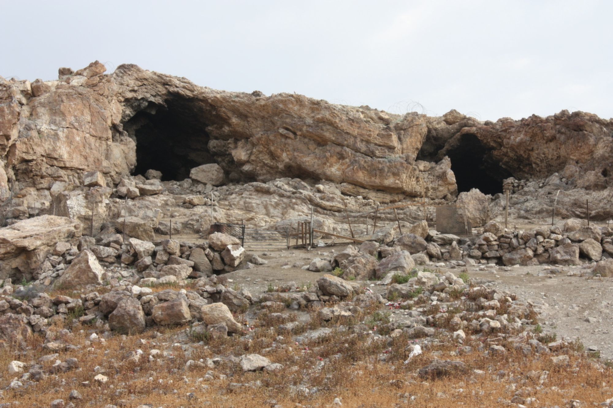
The entrances of the caves of the complex are exposed, one east of the other, in the face of a low cliff standing at the top of a low hill on the eastern side of the Al-Ahmar Valley. In front of the entrances there is a large terrace used today as a goat pen. Throughout the terrace are scattered large collapse rocks that detached from the ceiling of the cave entrances and from the cliff line.
Along the cliff, 4 prominent entrances open. The easternmost entrance does not lead to a significant space. The other entrances were marked with Latin letters: western entrance – A, central entrance – B, eastern entrance – C.
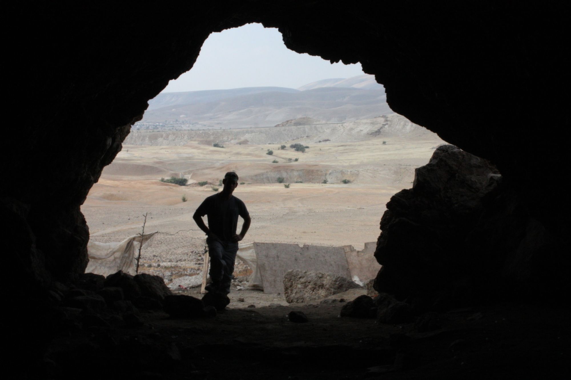
Entrance A is the largest in the complex. It measures 5X5.5 m and is rounded. The entrance leads to an open space that looks like a rounded chamber of simple structure. The chamber measures 12X8 m and is up to 4 m high. The floor of the chamber is horizontal and covered with goat droppings and a few collapse rocks.
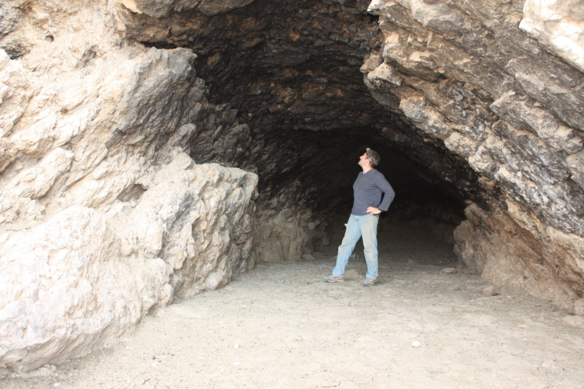
Entrance B resembles in structure the one to its west. It measures 3X4.5 m and is rounded. A low wall built on the western side of the entrance does not create a significant blockage in the place. From the entrance a horizontal passage extends north, growing lower from the entrance area inward. The length of the passage is 24 m, and its dimensions at its center are 4X3 m. The floor of the passage is horizontal and covered with goat droppings and a little dry sediment. The ceiling of the cave is rounded (as a result of the folding of the rock layers) and sooty.
Entrance C is also similar to the other entrances but wider than them. It measures 6.5X3.2 m and is rounded. Large collapse rocks standing in the entrance area slightly block its eastern side. The cave entrance leads to an elongated passage that extends at its beginning to the northeast and at its center turns north. The length of the passage is 25 m and its dimensions vary according to its different areas. The outer part of the cave looks like a wide space (5X3 m) with a horizontal floor covered with goat droppings and dry gray sediment (apparently as a result of burning in the space). In various parts of this area many flint items were found. A concentration of finds was located at the bottom of a tiny pit dug in the center of the space. The inner part of the cave is narrow (1.5X1.5 m) and dark. The floor of this area slopes upward toward the interior of the cave, consisting mostly of sooty bedrock covered with a little gray, thin, dry sediment.
Notes:
- The front of the cave complex can be reached on a dirt road marked with a blue trail marker.
- In the winter season the caves and the terrace in front of them are used by the residents of Al-Fasayil, who built a large goat pen in the place. Throughout the caves and the terrace there is an enormous concentration of fleas, which apparently arrived at the place following the flocks.
- About 30 mouse-tailed bats were observed in the inner part of passage C.
Written by: Boaz Langford