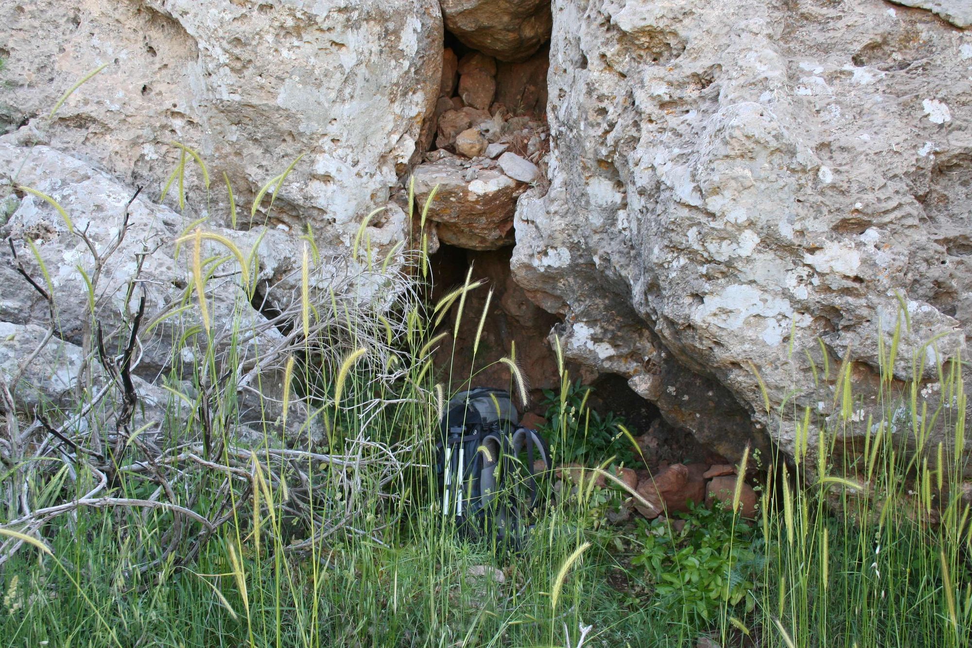
Cave 135, Mount Hermon
- Grid ref.
- 2209003/297717
- Elevation
- 1280 m above sea level
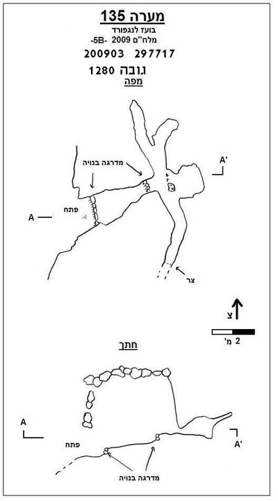 Cave mapView the map (PDF)
Cave description:
A narrow horizontal cave located at the bottom of a rock step in an area with many terraces. The entrance is hidden by woodland buckthorn shrubs growing near the entrance.
The cave is located 2 km south of Birkat Man, at the bottom of a small gully descending to Doline 130 and to Nahal Gubta.
The cave entrance leads to a narrow passage turning east, and continuing about 4 m in this direction until its end, where there is a split into another passage that developed along a fracture perpendicular to the entrance passage, 15 m long. The meeting point between the passages is in the middle of the fracture so that in effect there is a narrow, low passage extending about 8 m north and a similar distance south. On the cave walls there are cave coral and travertine coating.
Entrance dimensions: 1.3X1.3 m.
Notes:
- Signs of porcupine activity were observed in the cave.
Written by: Boaz Langford