Haritun Cave
- Grid ref.
- 172541/11658 (Old Israel Grid)
- Location
- Nahal Tekoa
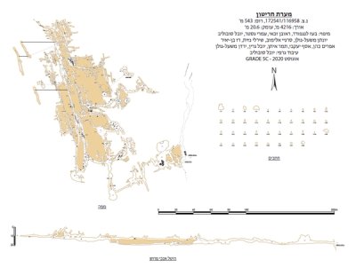 Cave mapView the map (PDF)
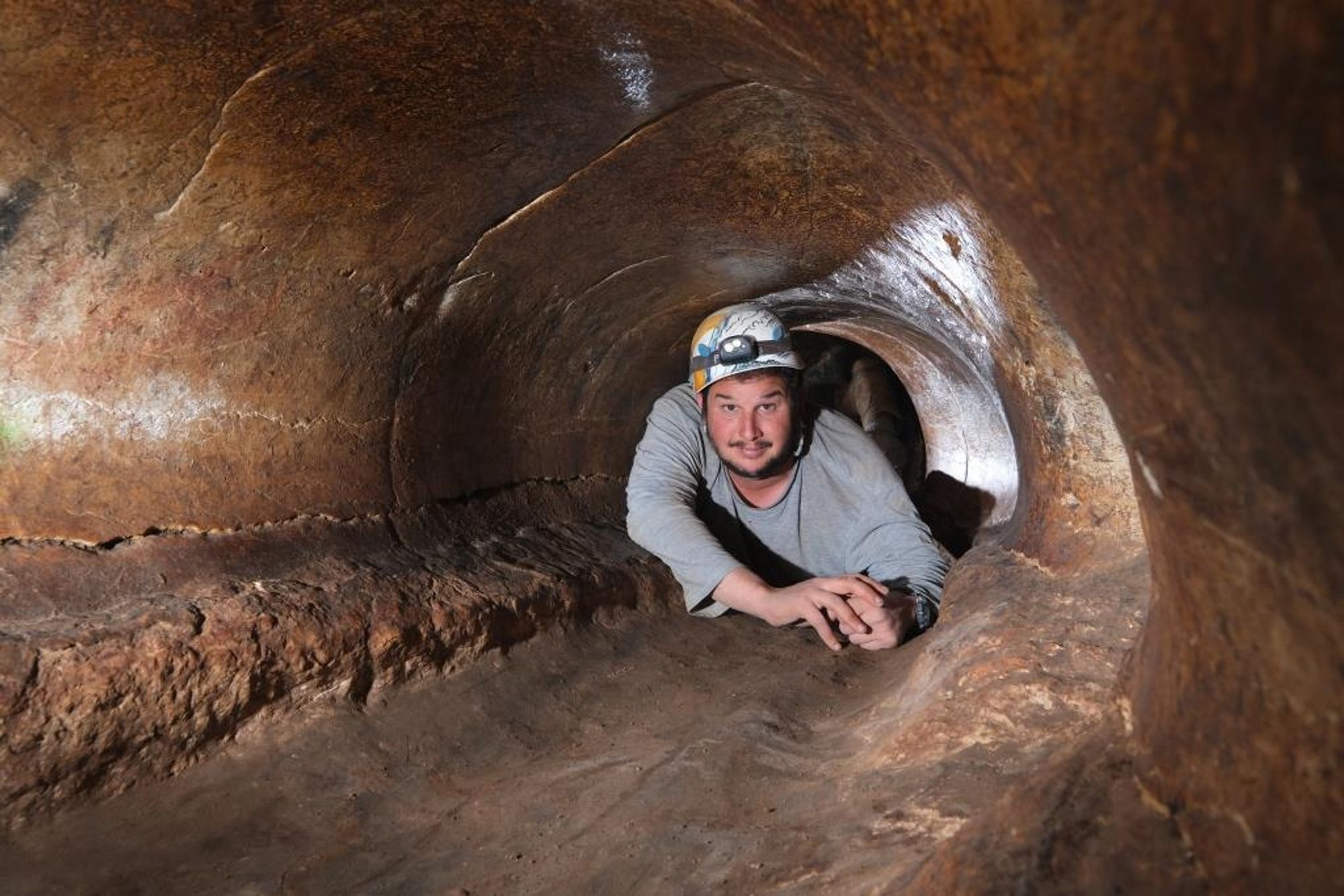
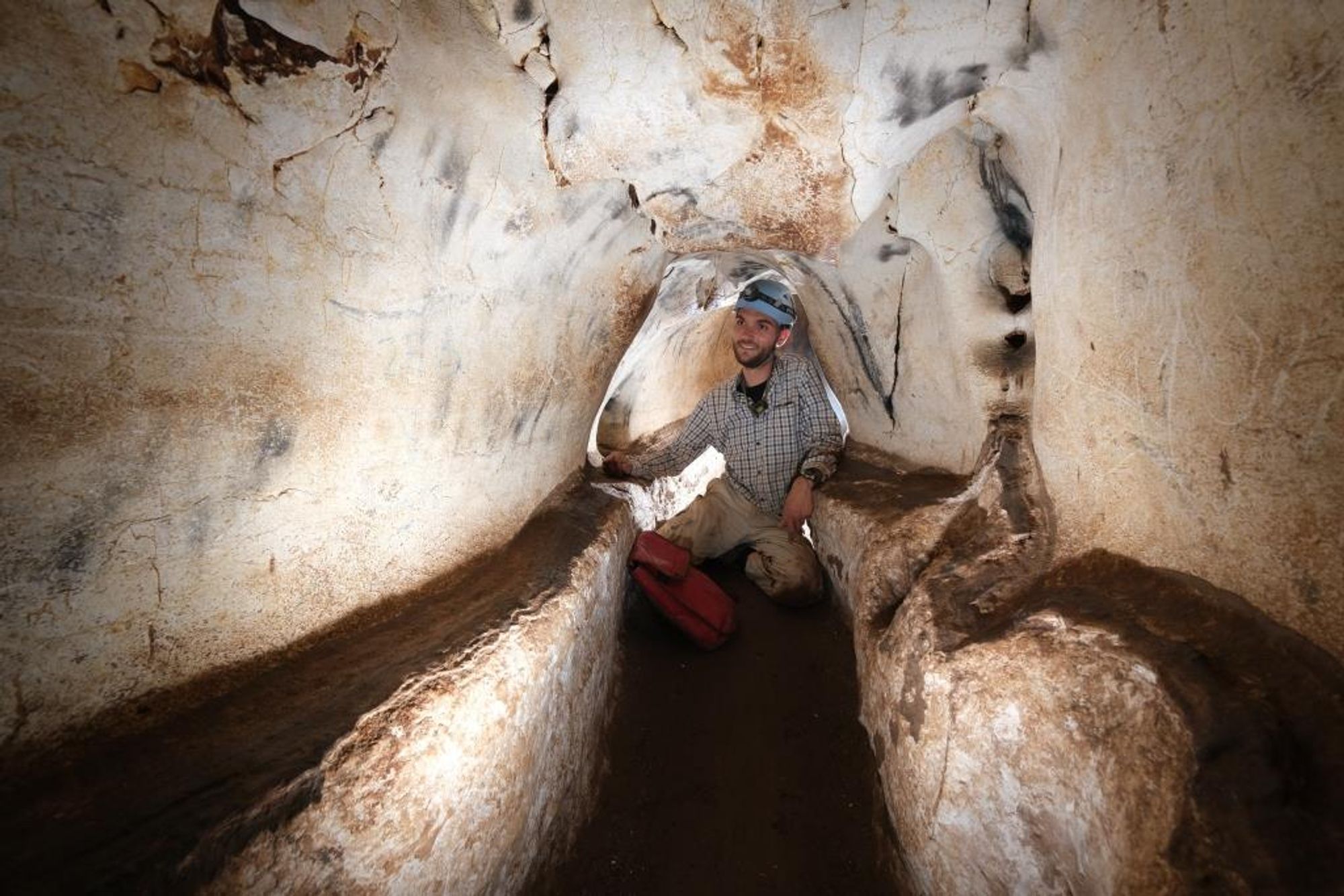
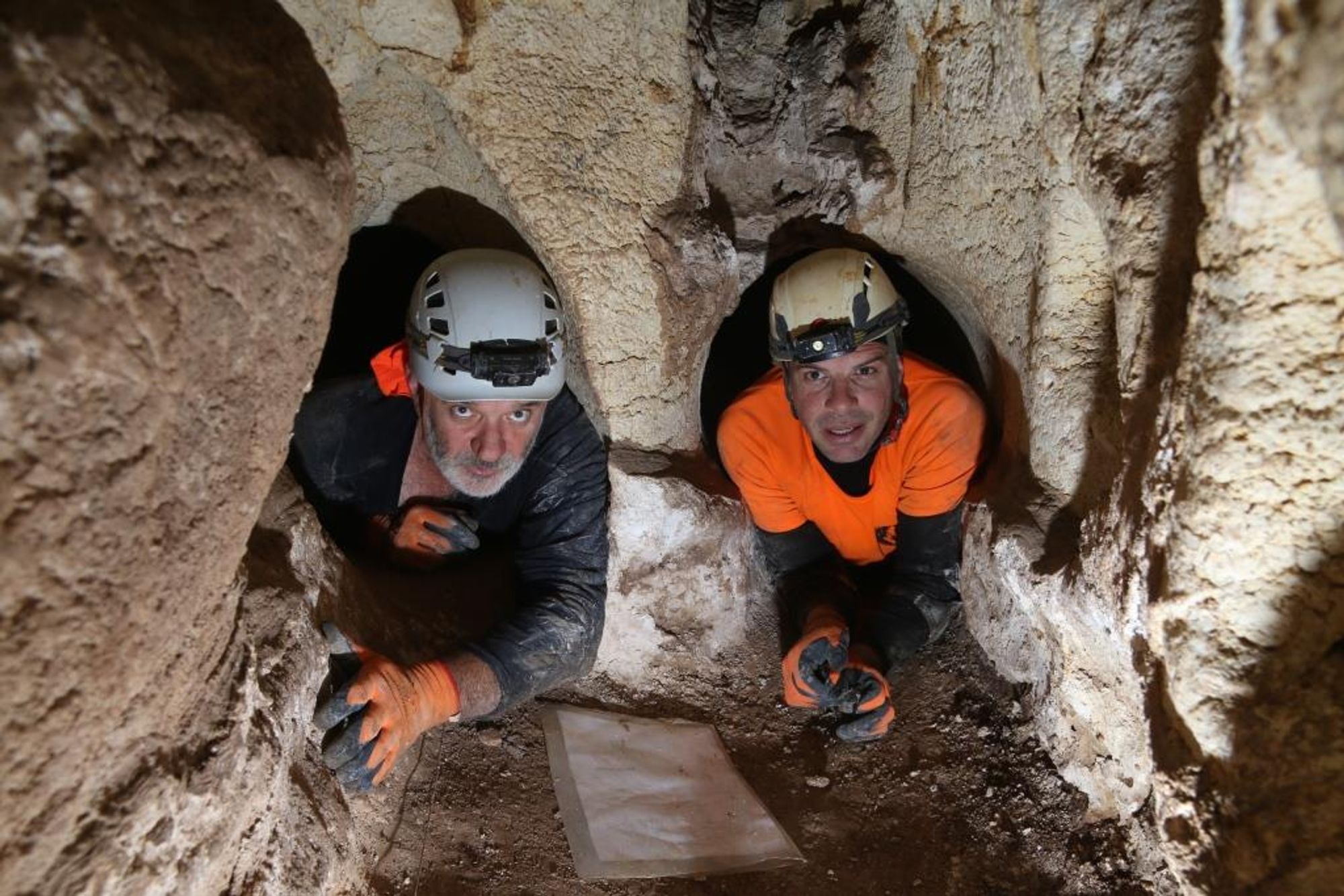
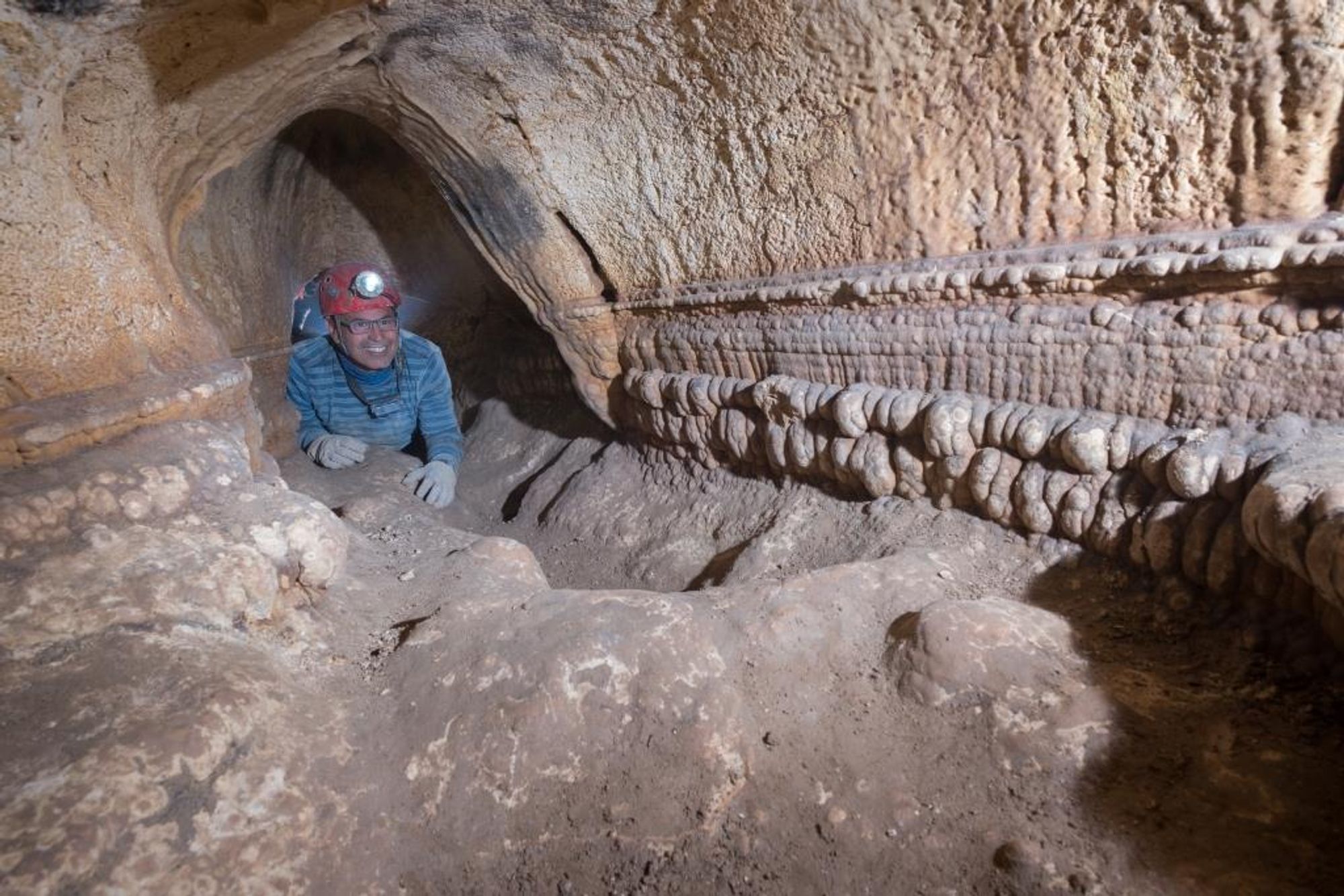
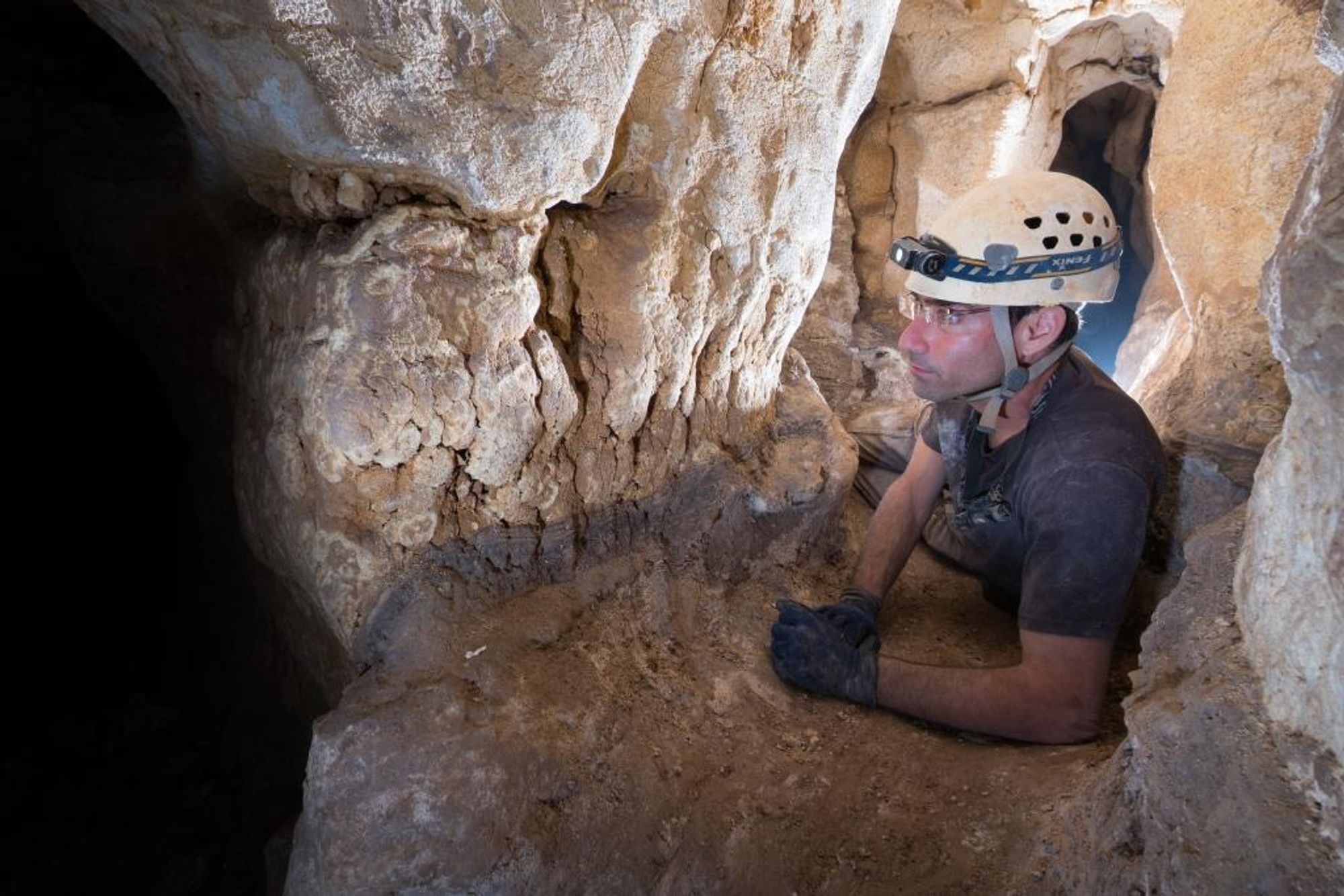
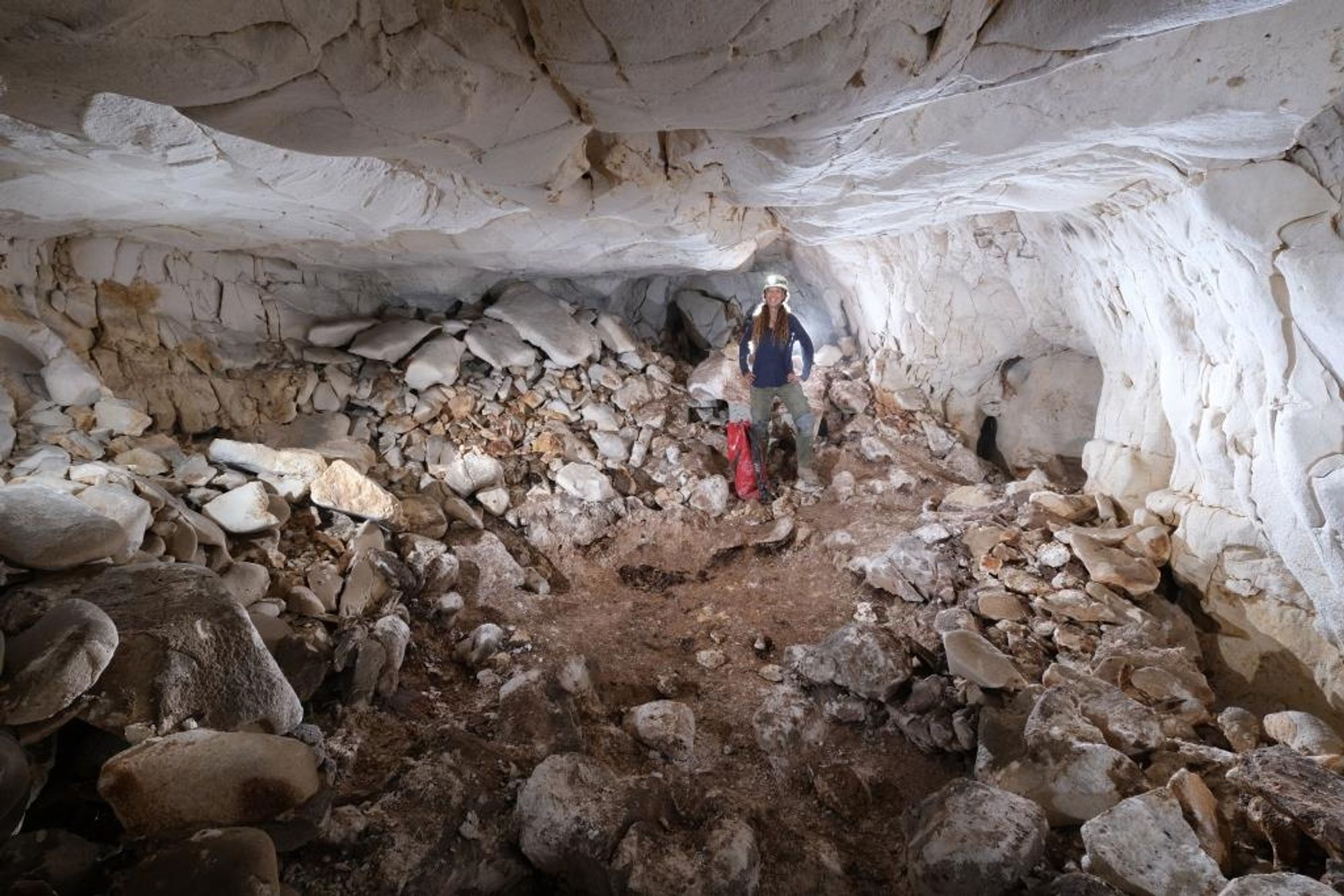
Haritun Cave is a huge karst cave – the longest of the limestone caves in Israel. The cave consists of a network of branching passages and several dozen rounded chambers. The settlement of the hermit Chariton near the cave gave the cave its name. The total length of the cave passages reaches 4216 m, and they extend in a net-like maze in whose various parts dozens of chambers and rooms open. The distance from the cave entrance to the farthest point is about 400 m. The cave has three entrances exposed in the western bank of Nahal Tekoa.
A marked trail leading from the outskirts of the town of Tekoa goes to Haritun Cave. The cave is heavily visited, by independent hikers and guided groups. Unfortunately this can be seen in the large amount of litter scattered in the cave.
Please use the map that appears here and avoid laying strings along the cave passages. Using a string is an ancient idea that can be avoided in modern times.
Bring a flashlight and a helmet, and do not light candles. Take your trash with you and refrain from carving your name on the walls, even though many have done so before you.
Please act responsibly toward this important site. Today, unfortunately, it is probably the most heavily fertilized place in the area.
General background on the site:
Modern research in the cave began in 1853, when Tobler visited the cave and left a partial description. In 1873 an expedition of the Palestine Exploration Fund, headed by Conder and Drake, visited the site and drew a good map of the passages and main chambers from the entrance to the main passage. In 1965 a German expedition headed by Strobel visited the site, surveyed the cave, left a detailed description and drew a partial map that was erroneous in its orientations. All the expeditions reached the main passage, moved along it and returned the way they came.
After the Six-Day War the Bedouin also led Amos Frumkin and another hiker along a similar route inside the cave and claimed that it reaches Hebron. This legend attracted Gideon Mann to map Haritun Cave with the help of volunteers in 1969--1971, in order to find out where it leads. The mapping included a traverse survey along all the cave spaces, using a measuring tape and a compass. The wall details referred only to 55 spaces that were defined as 'chambers'. Deviations in the closure of the survey loops were corrected graphically by hand. The ICRC began exploring the Nahal Tekoa caves in 1983--1985 and re-mapped Haritun Cave in 2006--2008 (A. Amichai, M. Avital and S. Avidan). The new map was based on Mann's survey skeleton, to which wall outlines and selected profiles were added. The ICRC map, attached here, preserves G. Mann's chamber numbers. A renewed mapping was carried out during 2020-2021 by the ICRC and the Cave Enthusiasts Club. Thanks to the great efforts invested by the mapping teams, it is now possible to visit the various parts of Haritun Cave with the help of a map, without having to lose one's way in the dark.
Geology and morphology:
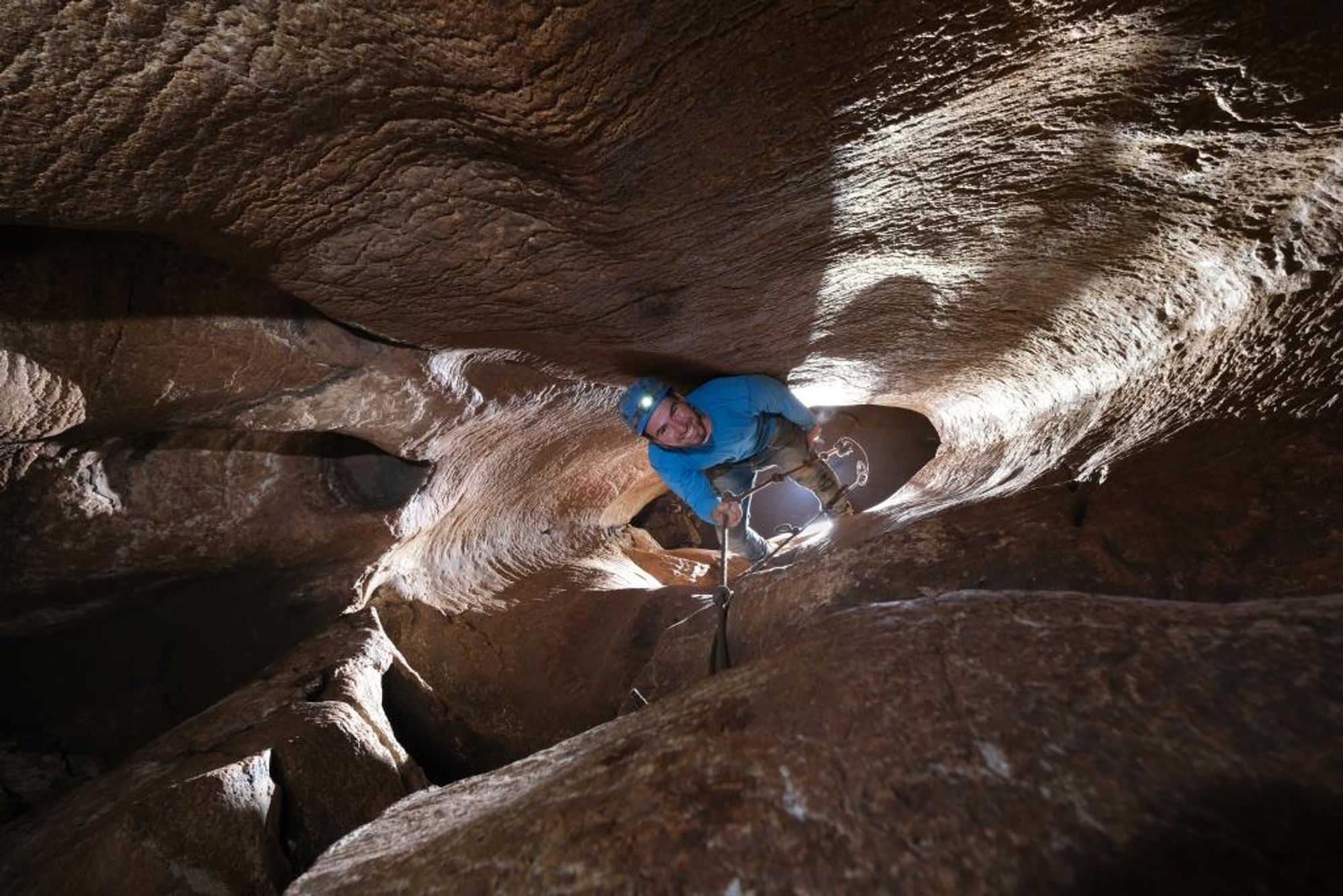
Haritun Cave developed in the Shivta Formation of Turonian age, in massive, almost horizontally bedded limestone. The internal morphology of the cave (a maze of passages with an elliptical cross-section, smoothed walls, solution domes, feeder shafts) indicates that the cave was formed under confined conditions.
The channel of Nahal Tekoa later cut the cave at random into three passages, and there the entrances were formed. In some places there is a keyhole-like cross-section, which hints at free flow of water before the cave was drained of groundwater. The cave developed around a central feeder shaft known as 'the Great Pit', where the three-dimensional structure is most developed and includes two levels of large passages. Above chambers 43 and 44 in the main passage, a system of tall, rounded shafts with no outlet developed, in which a circular convection flow of water probably took place when the cave was formed. At passage junctions, different types of water probably met when the cave was formed, which caused enhanced dissolution and widening.
Today the cave is damp to muddy, mainly on the lower level. In space 49 on this level, standing water was found at a depth of 40 cm in the mud on the floor. This level is probably close to the rock layer on which the small spring Ein a-Natuf rests, which issues at the foot of the cliff at the base of the cave. Clays accumulated on the cave floor and along the bottom of the walls mainly during its formation period. A hard, dark brown siliceous crust coats the clays along the passage walls. By contrast, carbonate deposits (speleothems) are rare in the cave and unimpressive.
Human activity:
The cave was used by humans in several periods. In the inner parts of the cave, pottery from the Intermediate Bronze Age (2000-2200 BCE) was found. In the Byzantine period the residents of the Chariton monastery knew the cave, which is in fact located within the monastery complex. In 1139 a band of Bedouin raided the Crusader settlement of Tekoa. Some of the defenseless residents of the settlement fled to Haritun Cave and found shelter in it from the raiders.
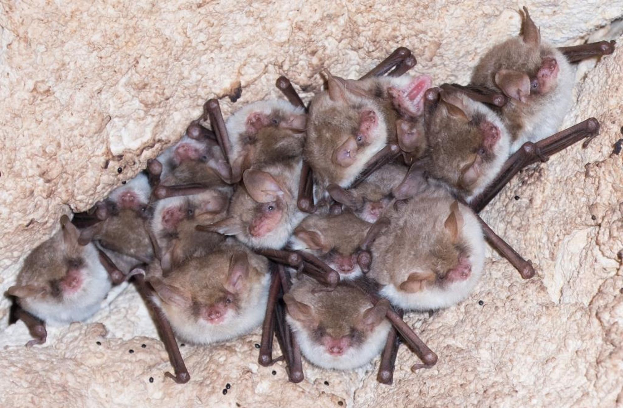
The classic process of forming a karst cave takes place through direct contact between runoff water and dissolution of the rock. The formation of Haritun Cave is different. The cave belongs to the pattern of horizontal maze caves; this type of cave forms underground, within the groundwater zone. Maze caves form in a confined aquifer (saturated rock set between impermeable layers) in which the water is forced between bedding planes and fissures and thereby widens them into passages. The orientation of the passage network represents the main fracture lines in the host rock. After the mountain ridge was uplifted, the cave drained of water in a gradual process. Nahal Tekoa, which flows to the Dead Sea Rift, cut the cave passages that serve as its entrance. Despite the cave's location in the desert fringe region, dissolution processes still take place in it. These include dissolution by condensation and weathering in the presence of insectivorous bat guano.
The name of Haritun Cave was already known to the first travelers in the Land of Israel. Thus the cave is described by Charles Warren, who also explored and surveyed Hezekiah's Tunnel in the City of David.
"Above a small passage on the east side a Jerusalem cross was seen carved on a wall, apparently by someone who arrived at it from another direction. Our time was short and so we returned to cave no. 4 and in its northwest corner we found a small opening above which was written "no exit".... Crawling up the passage was particularly difficult and in one place it was done lying on the side and pushing with the foot with the help of the wall". ...."But exploring the cave properly would require a day or two, and the help of quick assistants skilled in measurements. Five hours have passed since we entered the cave, and we advanced only a small distance".
At the beginning of the fourth century the founder of the monastic movement in the Judean Desert – the monk Chariton – arrived at Nahal Tekoa.
Chariton was born to a noble family in the city of Iconium in southern Anatolia. He left his home on foot for Jerusalem in order to imitate the way of life of Elijah and John the Baptist. Chariton founded three large monasteries that operated according to his worldview: withdrawal from the public, contentment with little, engagement in crafts, and abundant prayer. At the end of his days Chariton lived in a "hanging" cave located in the cliffs of Nahal Tekoa. In his last days he moved to a monastery in Wadi Qelt, where he died. Chariton's "hanging" cave was identified in a complex of caves about half a km south of Haritun Cave. The "Hanging Cave" site includes several spaces, hewn or natural, extending over three storeys. About 3.5 m above the middle level, a square opening was hewn leading to a rock ledge and to steps leading to a hanging niche, hewn and plastered. This niche was identified as Chariton's hanging cave, in which the monk spent the end of his days. Reaching the cave is possible only by ladder. After Chariton's death the hanging cave became known as a holy place, and became a pilgrimage site. In the middle of the sixth century CE, Saint Cyriacus settled in the hanging cave; he had been invited to the monastery in order to protect it from the plague that had broken out there.
Tour routes:
Start of the route (chambers 1-7)
From the cave entrance a short passage continues and after 5 m reaches a T junction, where we turn right (the directions below are always relative to the direction of arrival) and continue to a large chamber (no. 1). In the chamber wall facing us (and slightly to the left) there is an arch-shaped opening leading to another small space. Immediately after entering the arched opening we turn right, and continue along the passage, which later curves left and becomes low. During the crawl we pass through three narrow passages and reach chamber no. 2. We advance a few meters in this chamber, turn right and continue walking stooped to chamber no. 3. In the opposite wall, on its left side, a passage leaves, in which we continue until a step about 3 m high descending to the floor of chamber no. 6. We descend this step with the help of a rope located there and continue to the right corner of the chamber, where we climb a rock step about a meter high and continue walking carefully to a large chamber (no. 7). From chamber 7 there are many branchings – below we present three circular routes (all of them converge back to chamber 7) and grade them by difficulty level.
Route 1: "Loop 9" – relatively easy
From the entrance to chamber 7 we continue straight to a fork somewhat resembling a skull – we enter the left "eye" and pass to chamber no. 8. Straight ahead of us and slightly to the left a passage leaves, with which we continue and climb slightly to chamber no. 9. After making sure that we are in chamber 9, we continue to the passage that leaves from the left corner of this chamber. In this passage we go on all fours, pass through several sharp turns and reach the "Crack" passage; we pass through the vertical crack on the left (and not through the tiny passage on the right) and immediately after it we turn right and left, and after a short crawl we reach "the Autostrada" – a wide passage that runs for hundreds of meters and serves as a sort of "main road" in the cave. After reaching the Autostrada we turn right and advance a little, walking along the Autostrada; at the second turn we turn right again and leave the Autostrada and again go down to walking on all fours. After a short time the passage splits into two branches that connect further on. After the branches meet we turn right, and after a short walk on all fours we reach chamber 22. Immediately upon entering this chamber we turn left and climb a slippery slope about 10 m, pass the center of the chamber slightly and reach an opening in its floor. We enter this opening and descend a little, but turn to a narrow passage located in the middle of the descent – with which we reach chamber 9 a second time. We return to chamber 7 by the same way by which we came from it to chamber 9, and from there we retrace our steps to the cave entrance.
Route 2: "Loop 9 and the Shaft" – medium difficulty level.
We reach chamber 7 from the cave entrance, and as in route 1, in this route too we continue to chamber 9 and from it we continue to "the Autostrada". Immediately upon reaching the Autostrada we turn right and go straight until we reach the shaft marked with the number 21. We descend it carefully and continue walking on all fours in a wide but low passage for several hundred meters, until suddenly the central passage turns left. We continue in it until we reach a chamber – this is chamber 7, from which we return the way we came.
Route 3: "The Levels Game" - a difficult route.
Note: on the route there is a section where passing is difficult for people with a stocky build.
After we have reached chamber no. 7 from the cave entrance, we turn left to a low and wide passage, in which we go on all fours; after a while without turns we reach a split left and right – chamber no. 14. The continuation from chamber 14 to the right is more attractive, but we turn left and pass by crawling through three narrow passages separating wider spaces (rooms 15, 16, 17). In room 17 we turn right and climb inside a crack to room no. 18 - it is the end of the Autostrada; to our right is the Autostrada and facing us is chamber 19. We jump into chamber 19, a large and impressive chamber with a shaft in the center of its ceiling rising about 6 m upward. We now return to the Autostrada and walk along it, taking care to stay on the central path – until we reach the shaft marked with the number 21. We descend it carefully and continue walking on all fours in a wide but low passage for several hundred meters, until suddenly the central passage turns left. We continue in it until we reach a chamber – this is chamber 7, from which we return the way we came.
Possible addition for the especially brave: instead of returning to the cave entrance, to the "finish" of route no. 1 "Loop 9"
Access route to the cave:
The cave is located halfway up the western slope of Nahal Tekoa, about half a kilometer south of the Chariton monastery and at the foot of the settlement of Tekoa. From the settlement one descends on a dirt road in a small channel to 'Bir al-Aniziya', a water pool that served the Chariton monastery, which is on our left (today some people swim in it).
Continue on the trail marked in black that descends south on a steep slope. At the point where the trail reaches a vertical, continuous rock cliff there is a trail fork: the lower trail, the black one, continues toward the base of this cliff to Ein a-Natuf, and the upper trail, marked with two white stripes, continues for about 50 m - at a constant elevation on a narrow, smooth rock ledge – to the entrance of Haritun Cave. The entrances are located beside two square natural rock blocks, called 'the Tablets of the Covenant'. The entrance to the cave has been fitted with iron steps and a railing for the convenience and safety of hikers, as have problematic sections inside it. The cave has three entrances close to one another: the northern one is high and inaccessible, the middle one is used for entering, and the southern one is closed with a grate.
Written by: Boaz Langford, Amos Frumkin, Roy Porat and Shmulik Avidan
Elevation: 543 m above sea level