Ein Ziv - Jahar Yakin
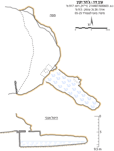 Cave mapView the map (PDF)
Cave description:
Ein Ziv is a small spring that flows inside a rock-cut cave whose general shape is a wide horizontal passage. The passage was cut in thick nari calcrete, with a hard horizon at the surface and beneath it soft horizons in which thin soil units appear. On the geological map the area is marked as the Shivta Formation, but in the field no outcrops were found other than nari cover.
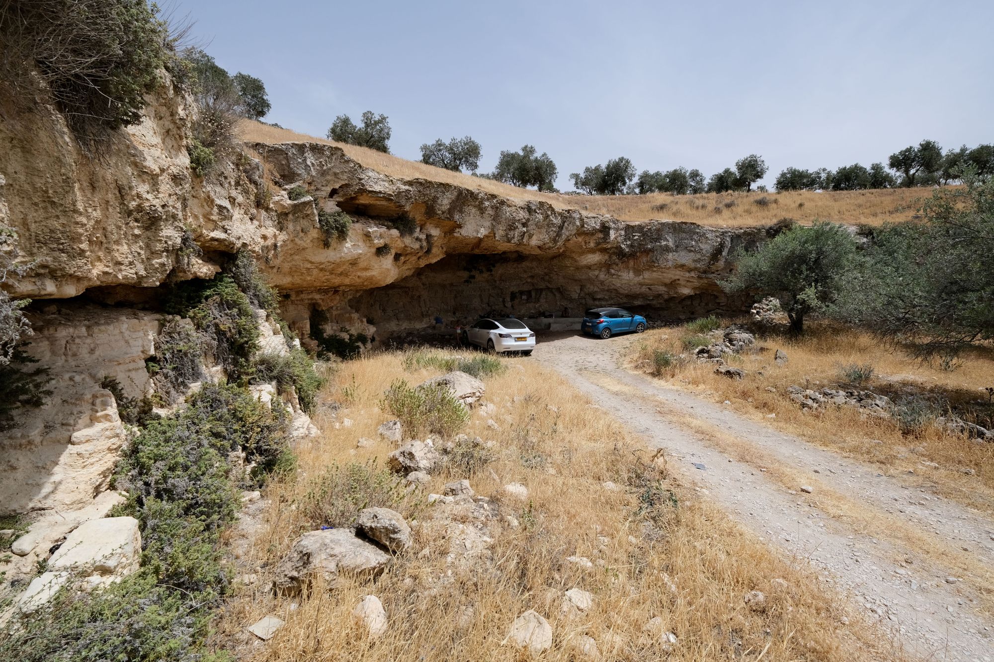
The cutting creates at the site a horizontal courtyard surrounded by a cliff whose highest point is above the spring. In the courtyard an olive grove is planted and a few walls and terraces were built in it. On the cliff surrounding the courtyard grow: pellitory-of-the-wall, maidenhair fern, round-leaved caper, and fig. The spring is in the center of the courtyard, on the edge of the access road to the settlement of Pnei Hever, on the outskirts of Bani Na'im. In terms of ancient settlement the site is within the boundaries of Khirbet Bani-Dar, slightly south of the Nabi Yakin shrine.
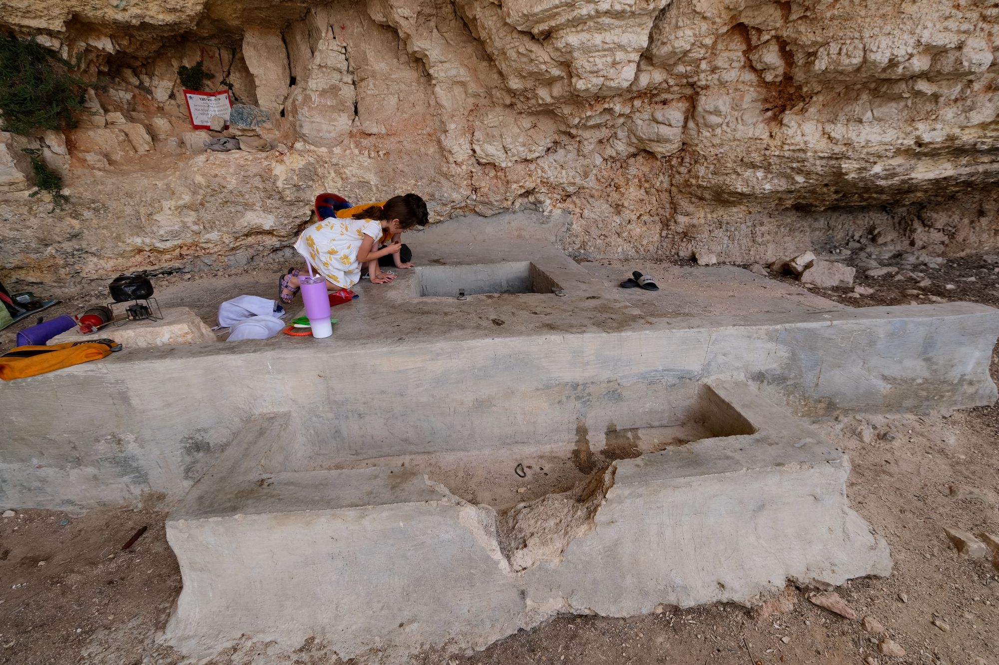
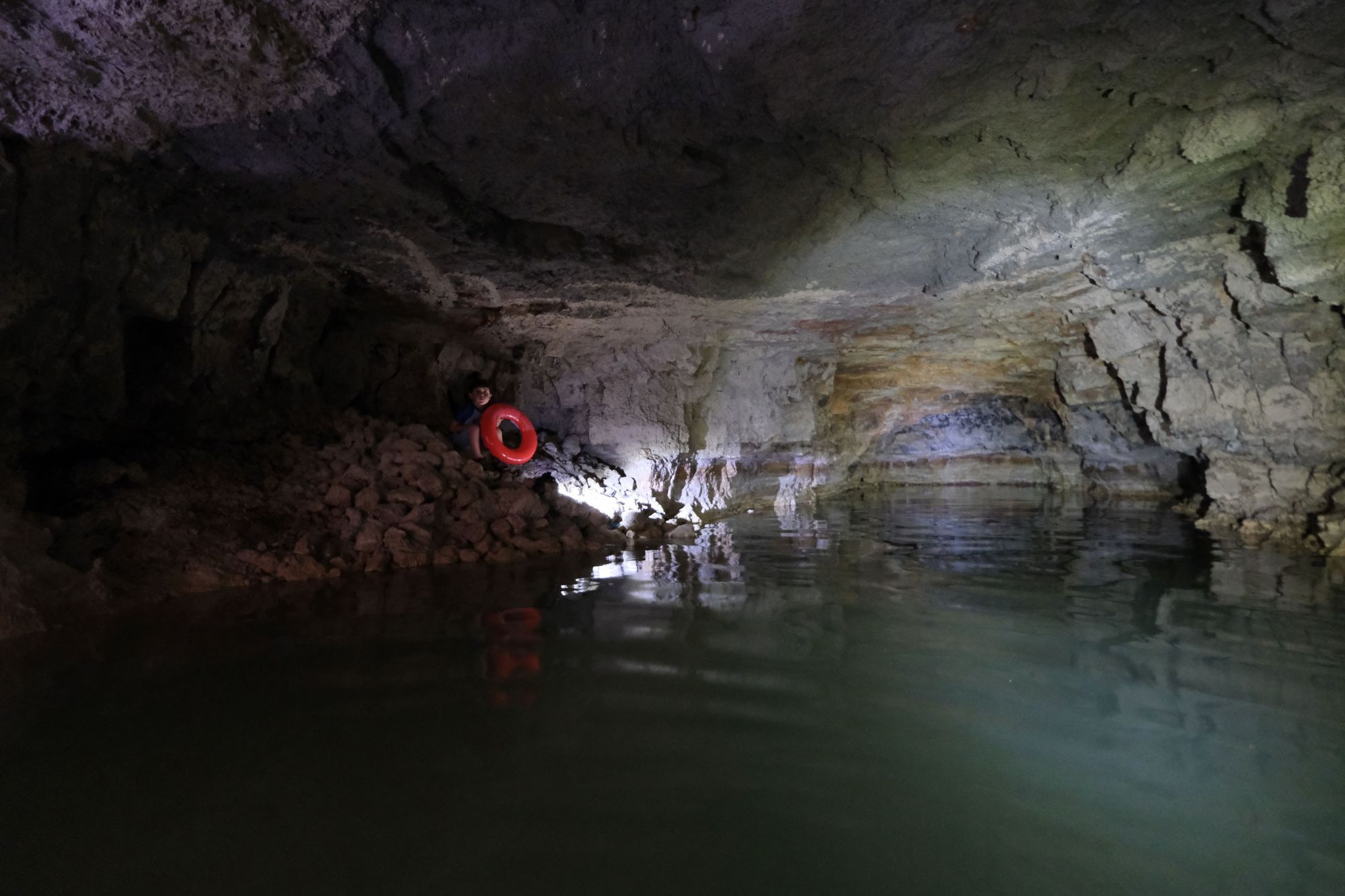
Access to the spring cave is through a concrete-built pit (modern, with iron mesh) with a square opening in which an iron ladder is installed. The depth of the pit down to the water surface is 3.5 m. The depth of the water in the area of the entrance is ~1.5 m. The entrance area is built with concrete walls and ceiling. From here a roughly cut horizontal passage extends to the southwest. The length of the passage is 21 m, its width 4.5 m and its height 3.5 m (including the depth of the water). The entrance area built with concrete walls is higher. In the middle of the passage a collapse in the north wall creates a wide niche covered with stone scree.
The passage is flooded all year round with cold water (by feel about 10 Celsius, not measured by instrument). A few arthropods were observed on the shore along the walls and in the body of water two goldfish.
Cave name: Ma'ayan Ziv, Jahar Yakin, Ein Ziv
Grid ref.: 600603 /214487 (New Israel Grid)
Elevation: +917 m
Location: Pnei Kedem