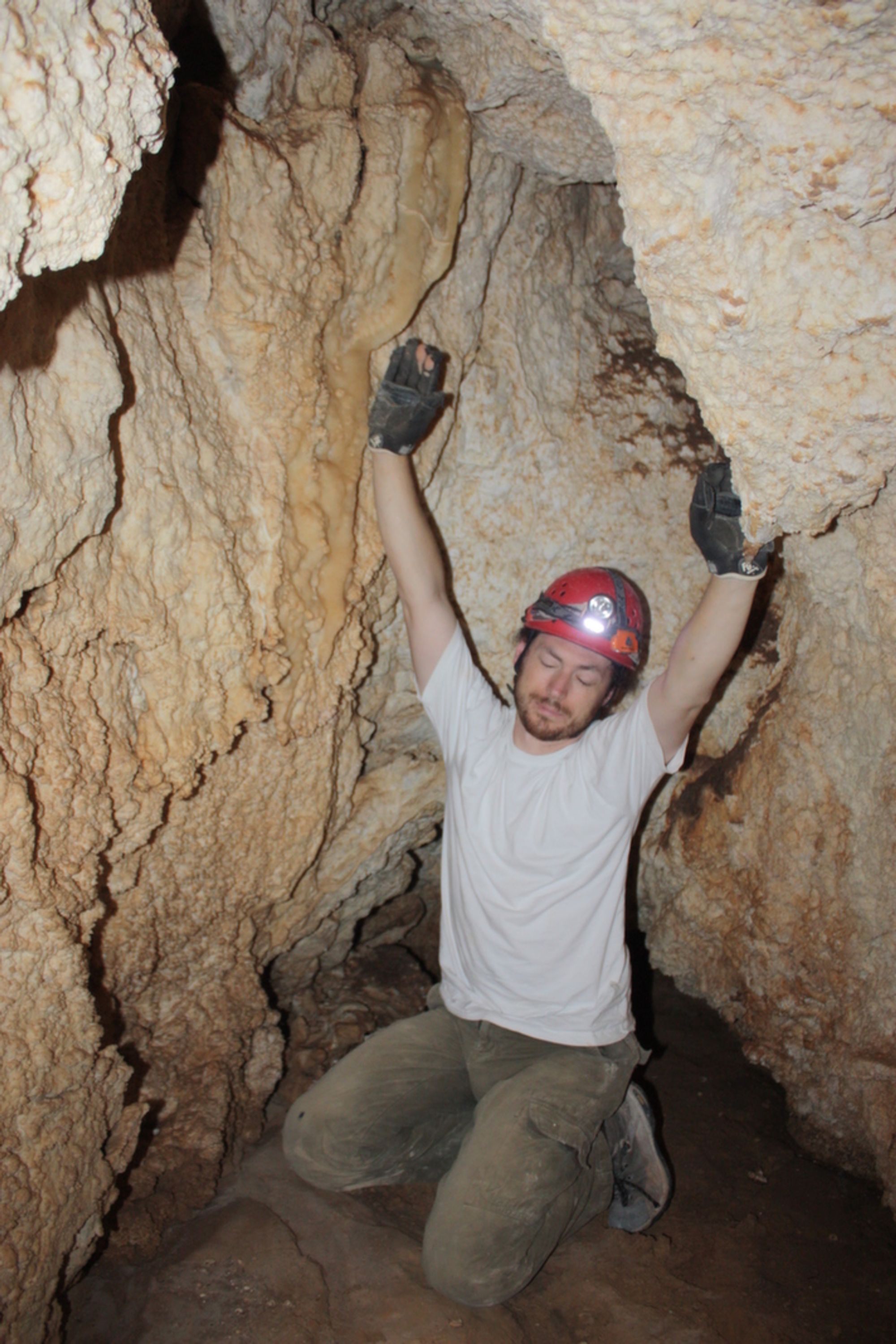
Nahal Dimona Cave
- Grid ref.
- 1589/0570
- Location
- Dimona Ridge
- Elevation
- 439 m above sea level
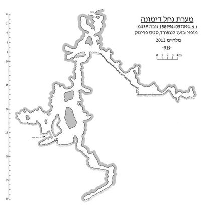 Cave mapView the map (PDF)
Description of the cave:
Nahal Dimona Cave is a large cave (total length 144 m) that developed by phreatic-hypogenic dissolution processes in Turonian-age limestone (Shivta Formation). The cave consists mainly of a network of vertical or sloping passages that branch into two main branches: an upper branch continues to the northwest and reaches a depth of 18 m. A lower branch continues to the southeast and reaches a depth of 39 m - the deepest point in the Negev caves!.
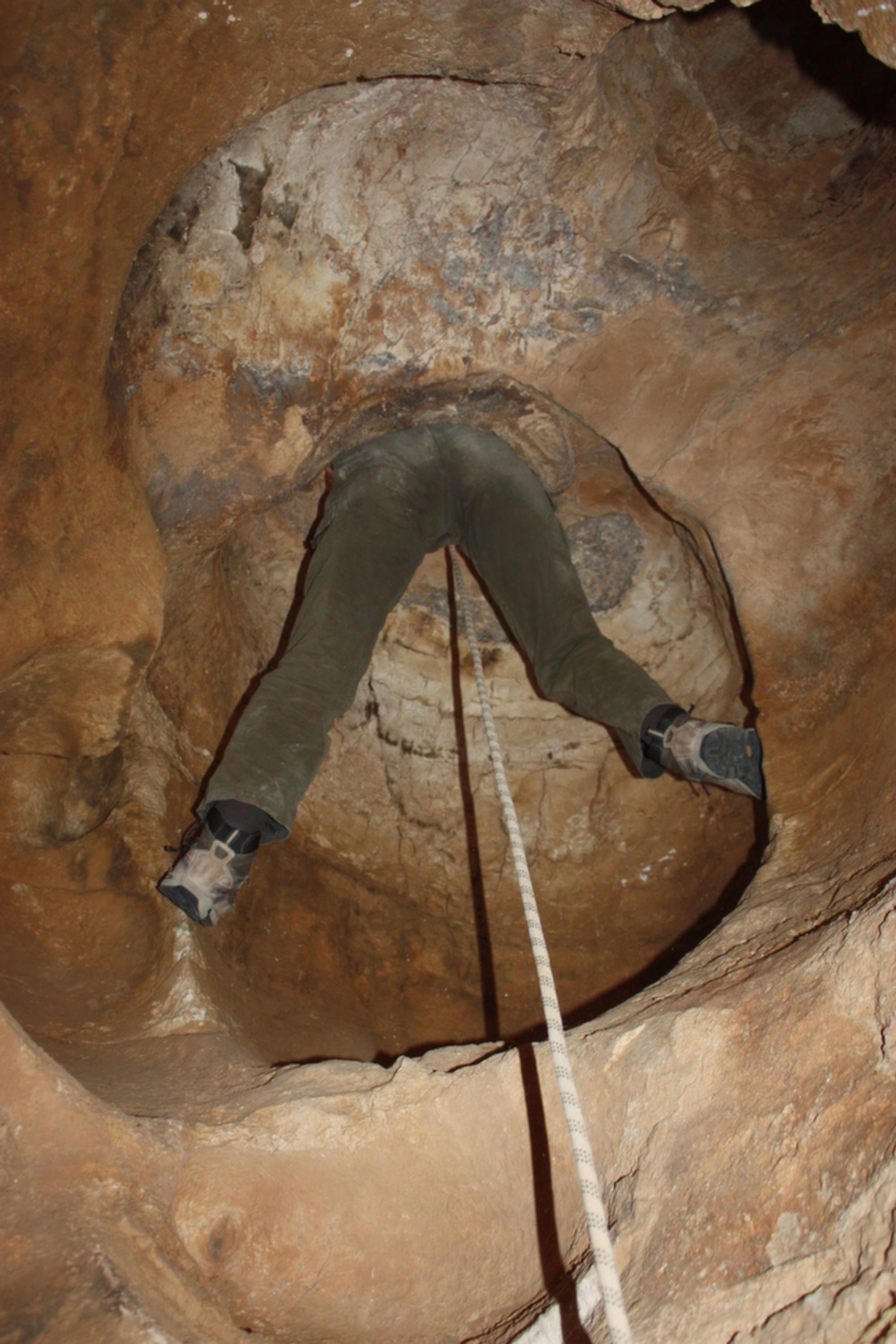
The cave has a small, arched entrance (dimensions 0.7X0.9 m) exposed on a smooth rocky slope in the Dimona Mountains. The cave entrance leads to a vertical shaft that descends about 4 m and connects to a small intermediate chamber. On the side of the chamber a rounded shaft rises up to the height of the entrance and connects to it by line of sight only. At the bottom of the intermediate chamber there are two vertical openings leading to shafts that descend about 3 m, parallel to one another, and connect to an elongated chamber that forms the central junction of the cave. On the western side of the chamber there is an arched opening leading to the northwestern branch of the cave (the upper branch). On the southern side of the chamber there is a vertical shaft descending to depth and leading to the southeastern branch of the cave (the lower branch).
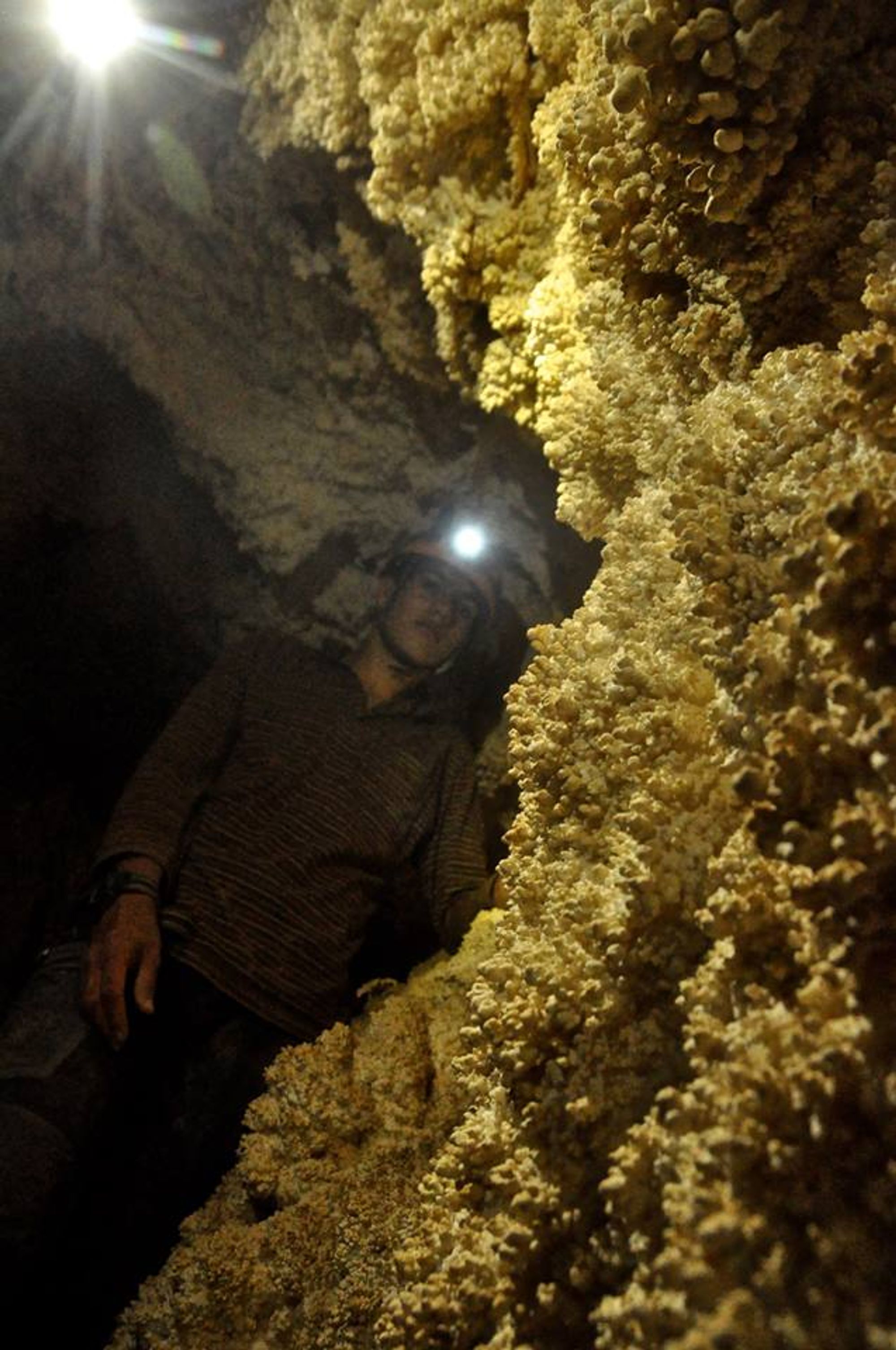
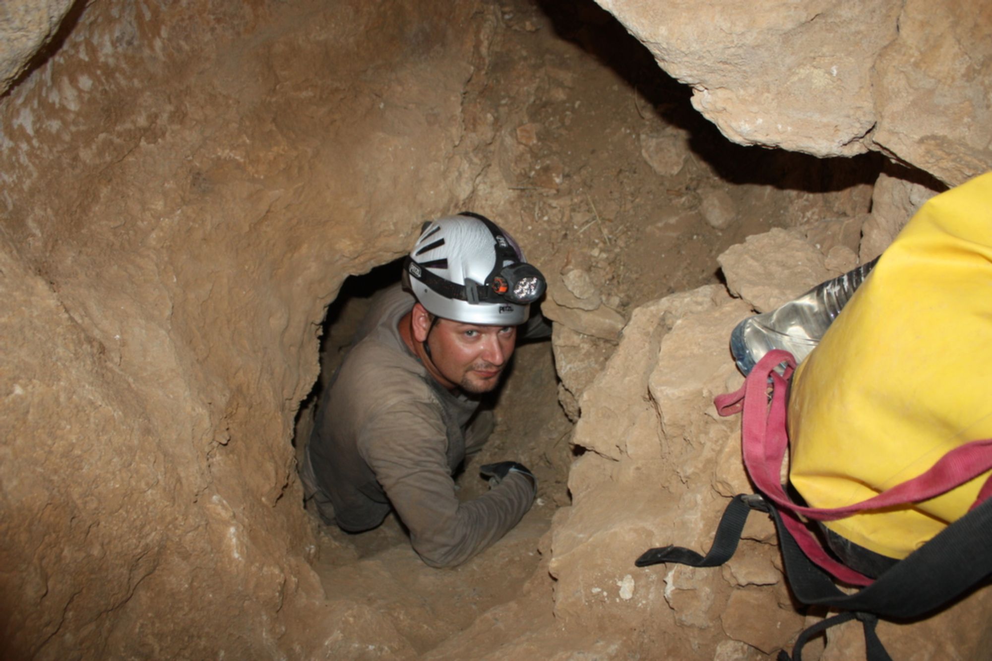
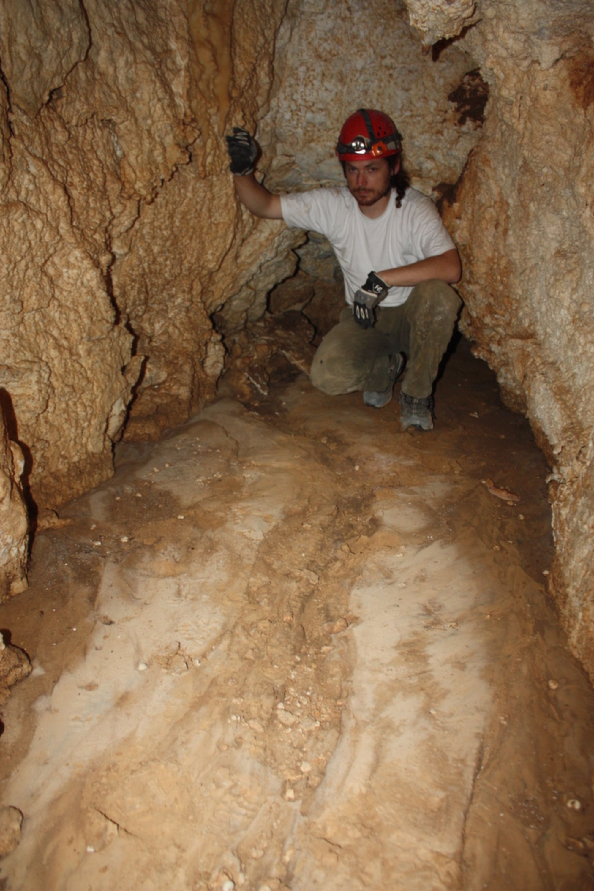
The upper branch of the cave consists of a single passage descending steeply to the northwest. The passage floor is covered with many stones that rolled down into it from the entrance area. Among these stones a flint hand axe and the base of a painted pottery vessel were found. Numerous dissolution domes opening in the passage ceiling create changes in height along the passage. 9 m northwest of the passage entrance there is a low step, below which the passage widens and continues horizontally, its floor covered with a thin layer of loess. On the loess layer there are signs of water flow, certainly related to the penetration of flash-flood water into the cave. On the western side of the passage there are dry cave deposits (cave corals and flowstone). Strong illumination of these deposits showed that they emit a light blue/green color in response, which means that they formed from cold water that presumably arrived from the surface. At the end of the passage's western side there is a very low crawl leading to the most remote part of the passage. This part consists of tiny chambers connected to each other by low passages that are difficult to pass through.
The lower branch of the cave consists of vertical passages that continue down into the ground, parallel to one another, sometimes up to 6 parallel passages. The main passage is the westernmost. This passage descends in steps and reaches, at a depth of 25 m, a small chamber to which parallel vertical passages also connect. On the western side of the chamber there is a vertical shaft that descends and connects to another small chamber. In this chamber the rock layers in which the cave developed are exposed, not dissolved into 'roundness', so that their steep dip can be seen (dip 40 at azimuth 290). On the chamber walls many well-developed cave corals were deposited. On the northwestern side of the chamber there is an arched horizontal passage leading to another vertical shaft descending to the lowest part of the cave. This part continues at a slope between the rock layers in which the cave formed. One can penetrate about 7 m between the layers, at the end of which there is an impassable rock rubble.
Notes:
- The cave entrance can be reached on foot from the Nahal Dimona streambed, where a dirt road leaving the city of Dimona passes.
- No bats were observed in the cave, but signs of their presence were seen: grease stains on the cave ceiling and guano.
- We reached the cave following a report by Eitan Klein (Israel Antiquities Authority inspector in the West Jerusalem area). The information about the cave reached the Israel Antiquities Authority from a Green Patrol inspector who heard about the place from Bedouin living in the vicinity of the cave. Judging by the litter scattered in the cave, it has been known since at least 1999. Our visit to the cave took place in June 2012 and the participants were: Vladimir Buslov, Boaz Langford, Yuri Lisovich, Leonid Feigin and Valentin Shot. During the visit the cave was mapped.
Photo: Boaz Langford