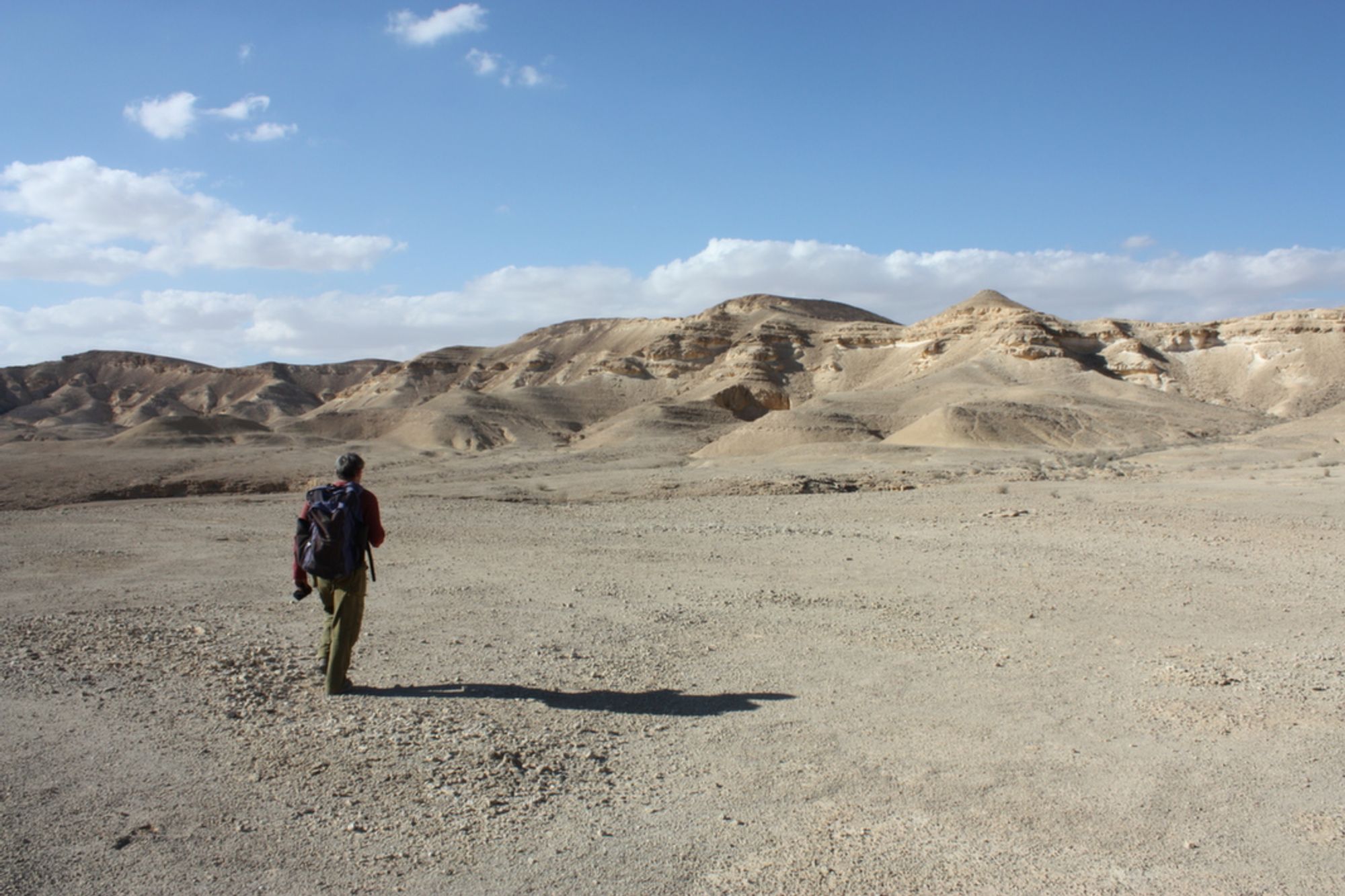
Har Teref Doline, Negev Highlands
- Grid ref.
- 1483/0157
- Location
- Eastern Ramon
- Elevation
- 529 m above sea level
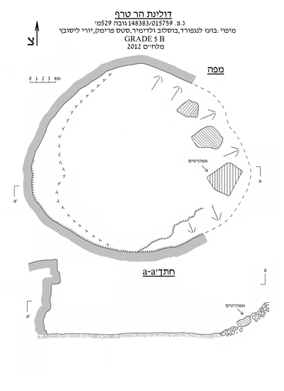 Cave mapView the map (PDF)
Description of the Cave:
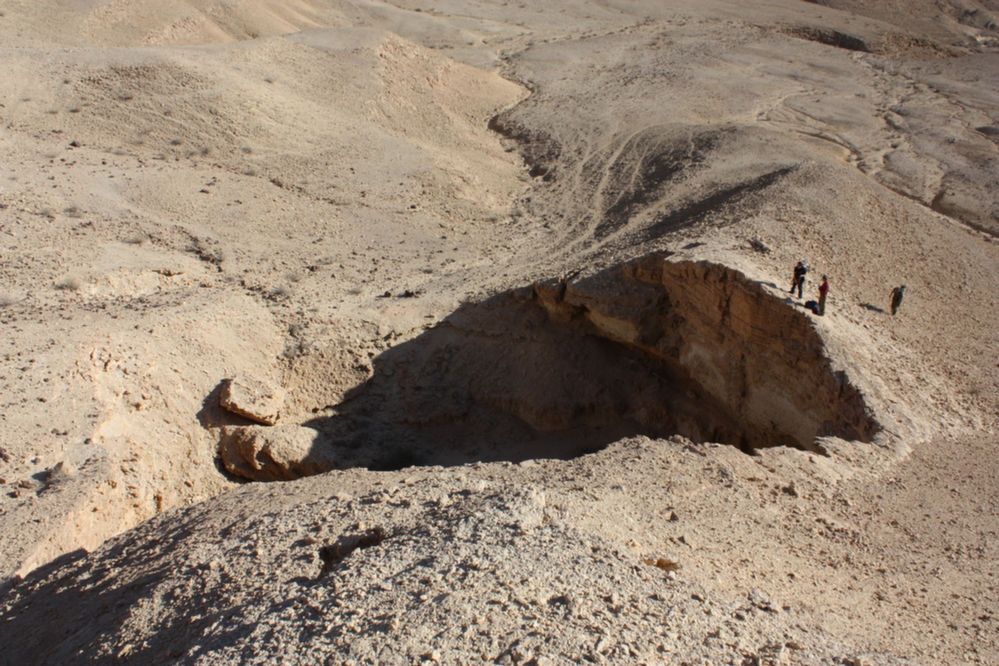
Har Teref Doline is a large collapse doline formed in Turonian limestone and exposed on the southern slopes of Har Teref, about 900 m northwest of the Abu Turaifa Valley. The doline was formed in the lower part of the Shivta Formation and the upper part of the Drorim Formation. It is possible that the original space that preceded the doline developed in the Netzer Formation and that the Shivta Formation layer collapsed following the collapse of the space.
The description of the site also appears in the regional survey of the Touring Clubs.
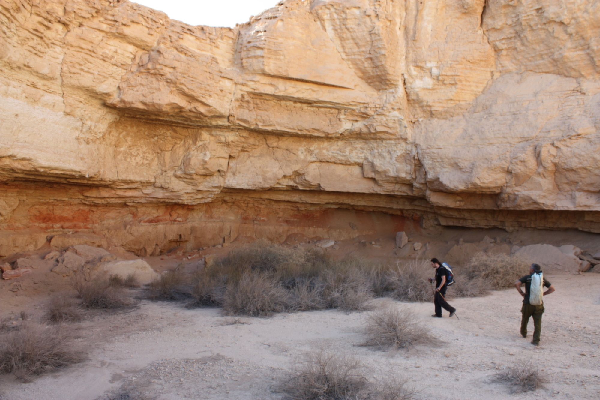
The doline measures about 30X33 m and its depth varies. Its northwestern, western and southern sides extend as a vertical cliff up to 15 m high. The eastern side of the doline consists of a gentle slope rising up to 4 m above the floor of the center of the doline. Several large collapse boulders in which ammonite fossils are embedded lean on the slope. The floor of the doline is covered with a very thick horizontal layer of loess. Since there are no collapse rocks in the entire doline area (except those on its eastern side), it is possible that they are buried beneath the loess layer on its floor. On the western side of the doline floor, in the shade of the cliff at its edge, several individuals of saltbush, ephedra and bean-caper grow. A little IDF debris (a blanket, a jerrycan) is scattered in the doline area.
Access:
- One can reach the Abu Turaifa Valley, about 900 m from the doline entrance, by 4X4 vehicle. From the valley one can continue on foot.
Written by: Boaz Langford