Harbata Pit - Nahal Netuf
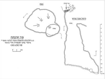 Cave mapView the map (PDF)
Description of the Cave:
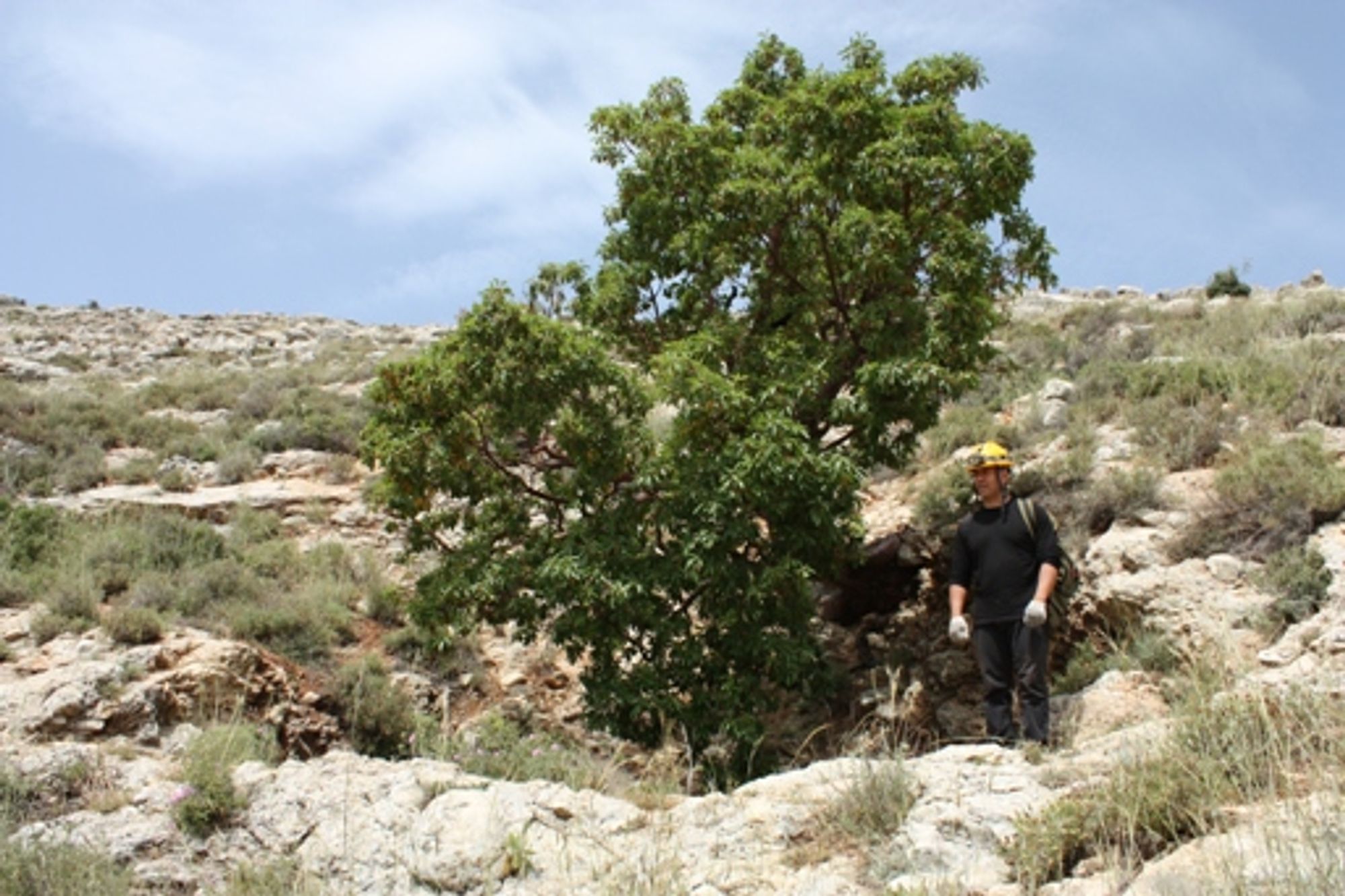
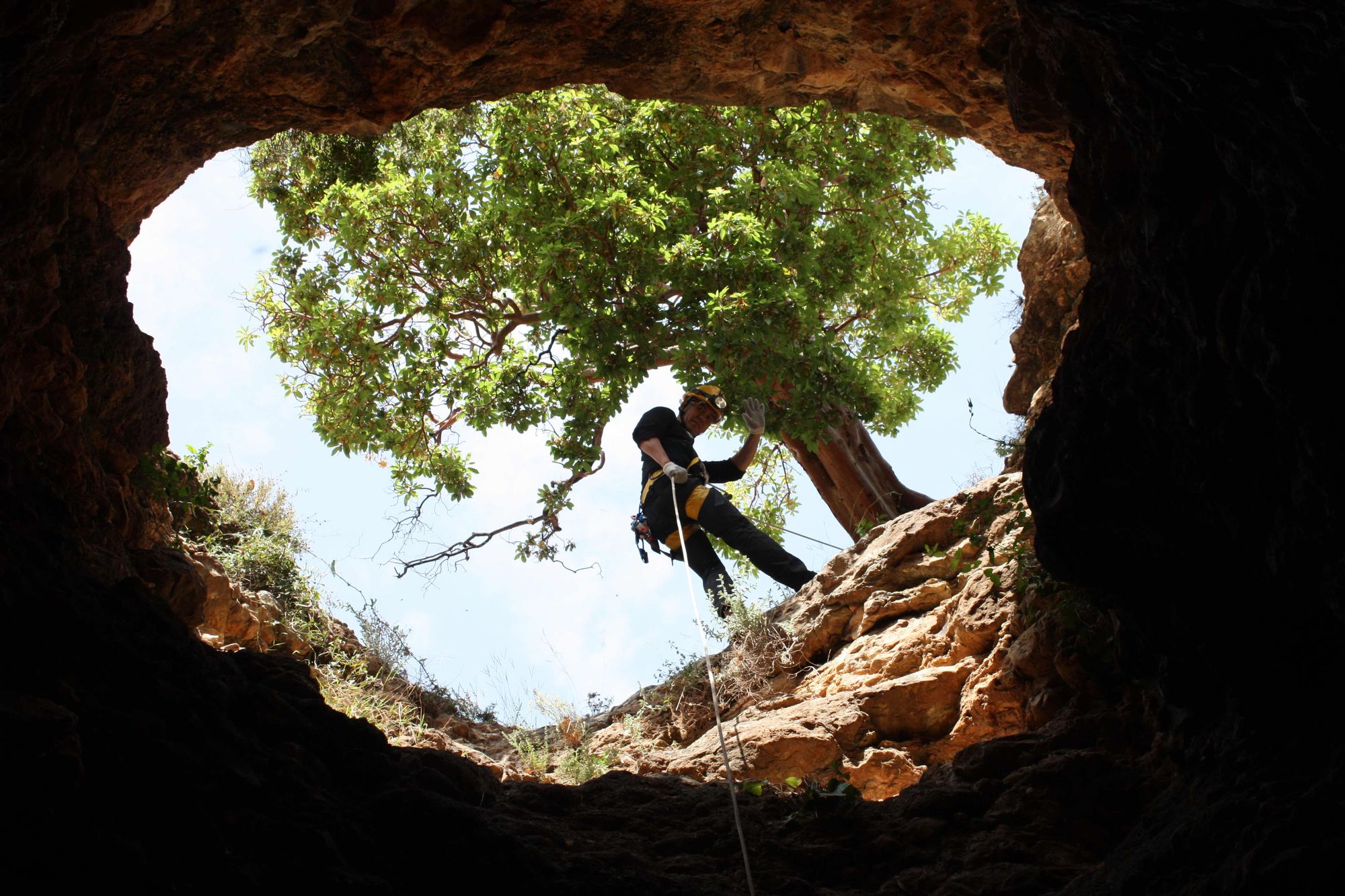
Harbata Pit is a small vertical cave formed by phreatic dissolution processes in limestone of Cenomanian age (Kfar Shaul Formation). The cave has a rounded entrance (measuring 3.8X2.2 m) opening on the southern bank of Nahal Netuf, about 25 m above the streambed. Above the cave entrance grows a common strawberry tree (Arbutus), which gives away the location of the entrance, mainly because it is exceptional in the landscape of the olive groves in this part of the wadi. The cave entrance opens at the head of a vertical shaft 10.5 m deep. At its bottom the shaft connects to a rounded chamber measuring 7.5X5.5 m. The chamber floor is covered with many collapse stones sloping from the area of the shaft floor into the interior of the chamber. The chamber ceiling is rounded and reaches a height of 4.5 m at its peak.
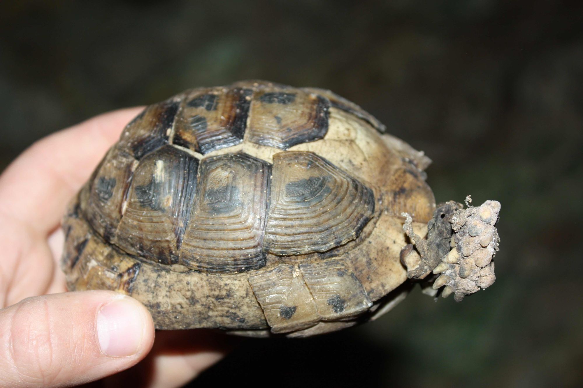
- Animal carcasses (a tortoise, a turtledove) were found on the cave floor, as well as several dozen individuals of the Judean blaps beetle, which apparently fell into the cave.
- No bats were observed in the cave and no guano was seen.
Access:
- The cave entrance can be reached on foot from the community of Na'ale.
Equipment:
- A 15 m rope for descending into the cave - the rappel rope can be anchored around the strawberry tree next to the entrance.
Written by: Boaz Langford
Cave name: Harbata Pit
Grid ref.: 156635/151259
Location: Nahal Netuf
Elevation: 313 m above sea level