Elkana Cave, Samaria
- Location
- South of the community of Elkana
- Elevation
- 241 m above sea level
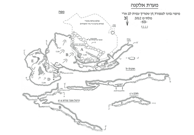 Cave mapView the map (PDF)
Description of the Cave:
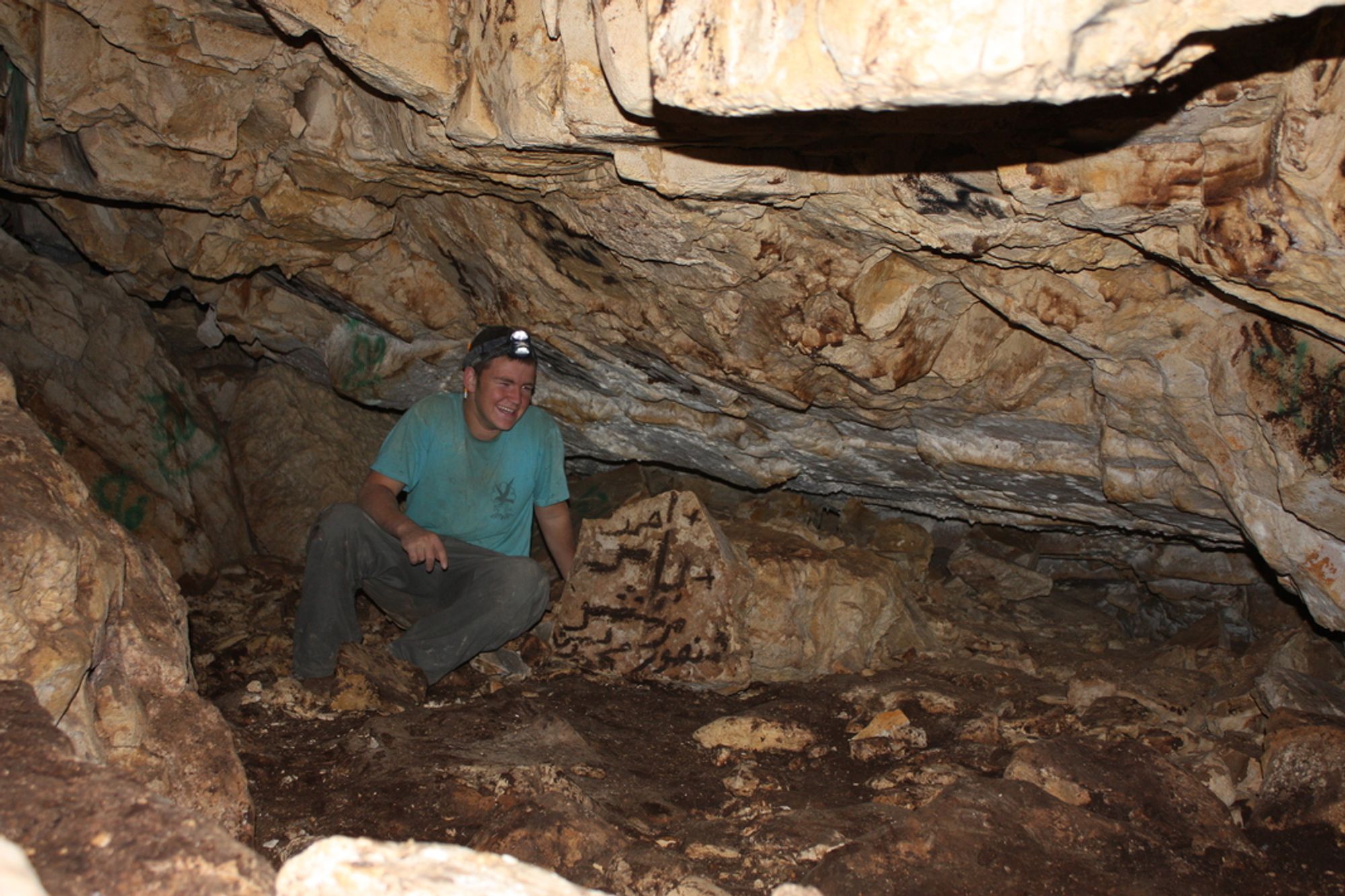
Elkana Cave (Al-Natafa Cave) is a large cave composed of a series of chambers and passages. The cave entrance is exposed in the upper part of a rocky slope, on the northern bank of one of the tributaries of Wadi Rabba, south of the community of Elkana in western Samaria.
Elkana Cave is of the type of isolated chamber caves of western Samaria. The cave was formed in dolomitic limestone of the Vradim Fm., of Cenomanian age, by phreatic karstic dissolution processes, near the water table and below it (Frumkin and Fischhendler 2005).
The entrance to the cave looks like an elongated breach (23 m long and about 1.5 m high) opening at the bottom of an artificial rock step, at the edge of a security road. The entrance area is currently blocked with large stones and soil, so that entry is possible through gaps between the rocks. The breach is in fact the northern part of a large karstic chamber that was first surveyed by the ICRC in 1983 but was mostly destroyed during the quarrying of the road.
The original entrance of the cave opened in the southern part of the chamber (see the map). An internal ICRC report accompanying the first mapping noted that the opening (which measured about 2X2 m) opened in the lower part of a natural rock step, was rounded in shape, and that carved steps allowed easy access from the surface into chamber A. This chamber had a level floor, its height allowed standing upright, and it was the largest and most accessible wing of the cave. In the center of the chamber there were small active stalactites, whose water was collected in a small trough hewn in a large block of rock. In the 20th century the stalactites served as a source of drinking water for shepherds, who called the cave by the name Mughrat a-Nataf. No stalactites were found in the inner parts of the cave
and no drips, so it seems that the water source of those who hid in it was the drips in chamber A.
Finds:
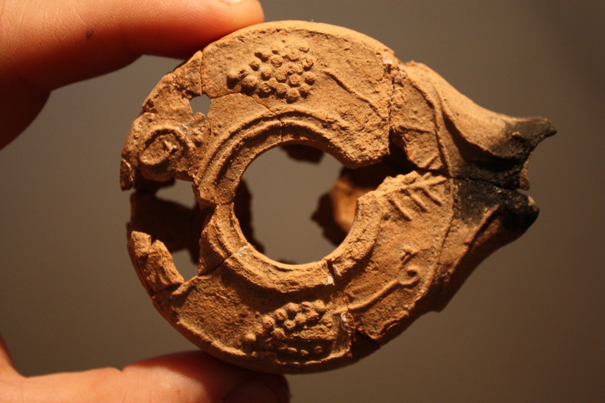
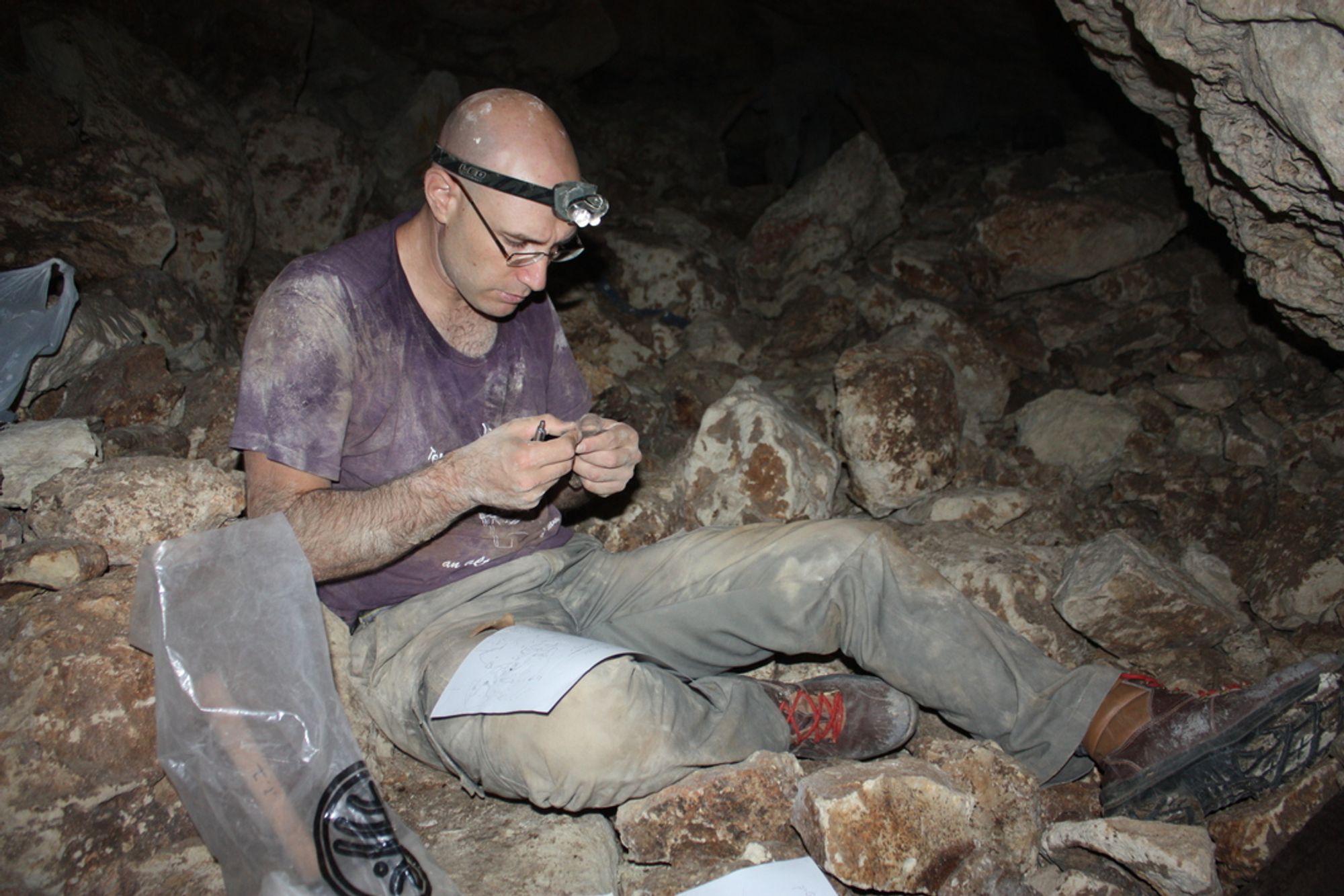
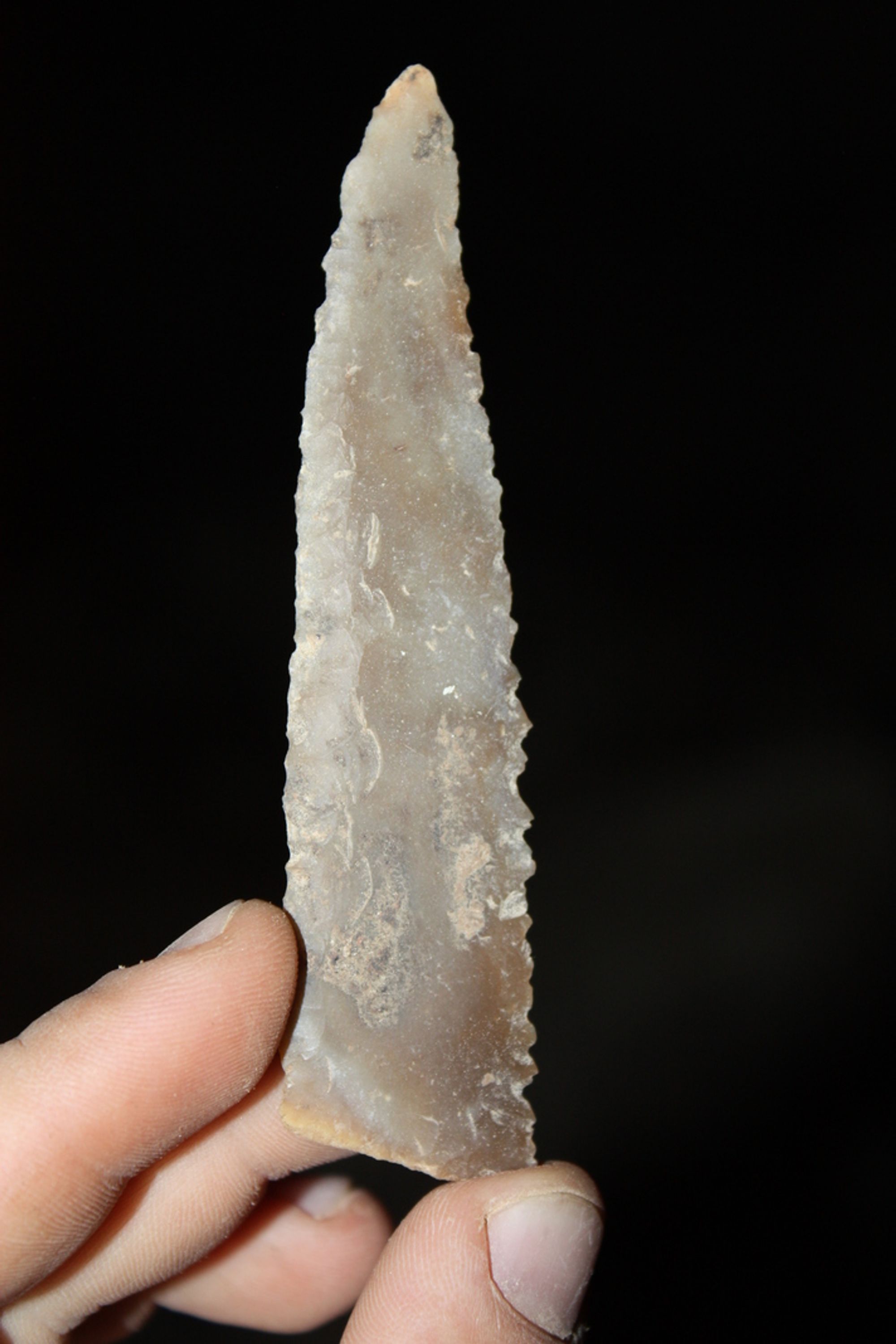
The survey revealed varied archaeological finds, from the Neolithic period (pottery and flint from the Yarmukian culture), the late Persian period (a coin only), the late Hasmonean period (two coins and a bowl fragment), the Early and Middle Roman periods (including the days of the Bar Kokhba revolt: many pottery fragments, a lamp and coins), and the Byzantine (?) and Early Muslim periods (pottery fragments and lamp fragments). Additional finds were looted from the cave, since in all its parts there are signs of illegal digging, paint inscriptions and modern litter. It seems that the destruction of the cave's entrance chamber damaged many more finds. The late Persian period (4th century BCE) is represented only by a small silver coin, with a value of an obol. One side of the coin is decorated with a galley sailing on waves. The upper part of the design, which according to parallels could have included the inscription "Samarin," was struck outside the flan. The other side is decorated with a king in typical Persian dress, facing right and fighting a lion standing on its hind legs. Between them are the letters "Mz," an abbreviation of the name Mazday, governor of the satrapy of Beyond the River from about 331-345 BCE (Mildenberg 1993). Obols of this type were struck in Sidon (for additional obols and denominations of this type see Elayi and Elayi 2004), and imitations of them were struck in Samaria. The difference between the original type from Sidon and its imitation in Samaria is the inscription "Samarin," which appears above the galley. On the coin in question this section is missing, so it is not possible to determine with certainty whether this is a Sidonian coin or a Samarian imitation.
The assemblage of finds from the time of the Bar Kokhba revolt makes it possible to identify Elkana Cave as a typical
refuge cave. Admittedly, until recently it was customary to point to Nahal Shiloh as the northern end of the area that was Jewish-settled until the days of the Bar Kokhba revolt. It is now possible to propose Nahal Kana as the northern border of the area that took part in the Bar Kokhba revolt and was destroyed at its end.
Written by: Boaz Zissu, Boaz Langford, Roi Porat, Dvir Raviv and Amos Frumkin