Carmel Cave
- Grid ref.
- 16621/09306
- Location
- Southern Hebron Hills
- Elevation
- 700 m above sea level
Description of the Cave:
Carmel Cave is a medium-sized cave that developed by phreatic-hypogene dissolution processes in Turonian limestone (Shivta or Bina Formation).
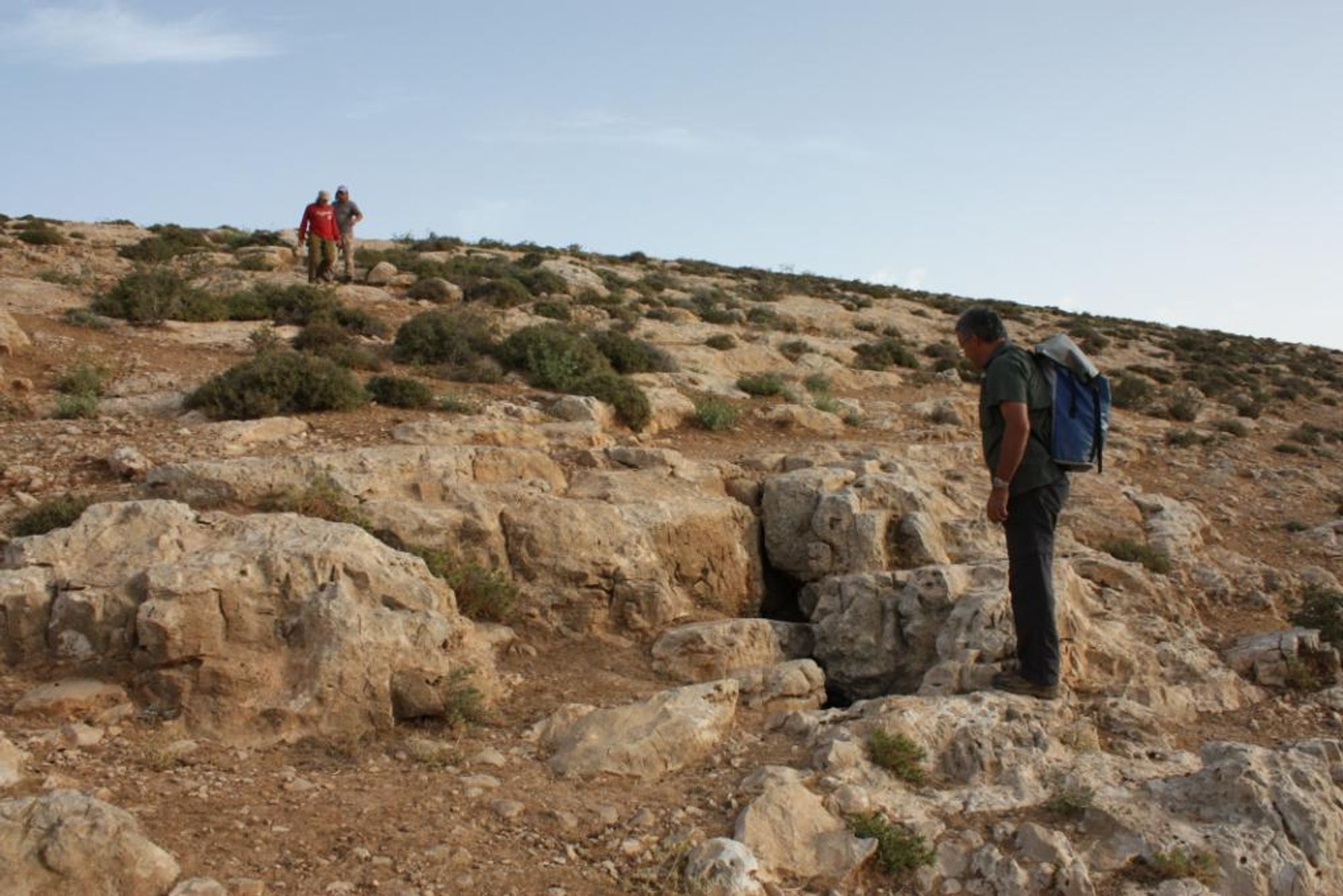
Its small opening (1X1 m) is exposed at the bottom of a rocky slope on the northern bank of a small channel that drains into Wadi Abu Shaban - the upper channel of Nahal Hever Ili.
The opening is about 3 m above the channel bed and about 15 m east of a wide junction of channels. In this part of the channel there is herbaceous vegetation growth.
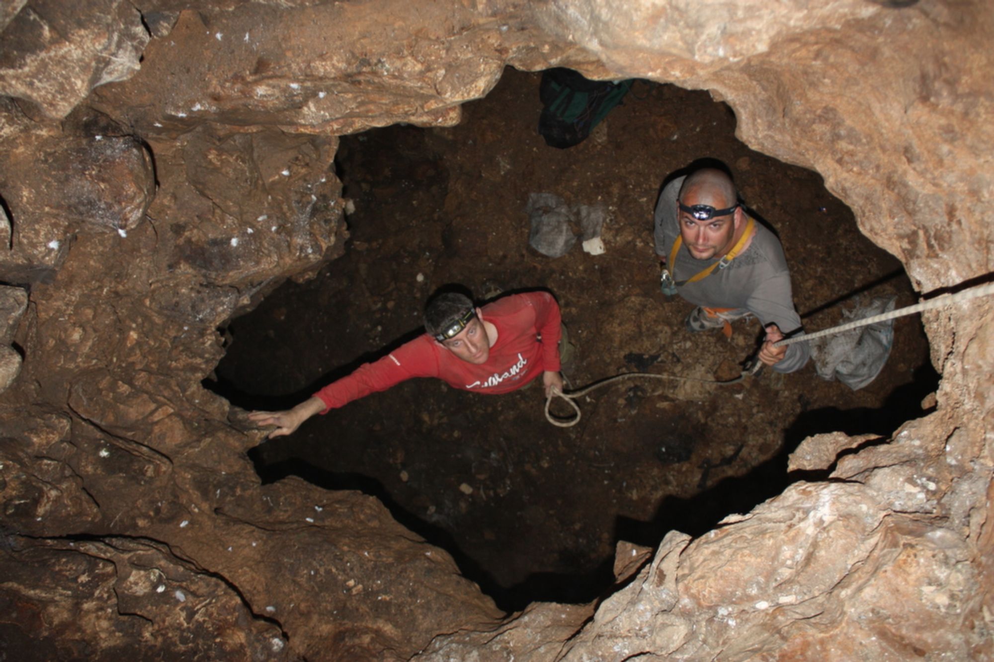
The cave opening continues as a vertical passage down into the ground. About 1.5 m below the opening the passage widens and connects to the ceiling of the southwestern side of a huge chamber, which forms the center of the cave space. The chamber measures 47X10 and its typical height ranges from 3.5 to 6 m. The floor of the southern side of the chamber is covered with dark soil that slopes steeply to the east and south.
This soil apparently entered through the opening into the chamber, so that a steep soil cone formed beneath it. On the southernmost side of the chamber there is a low area in which a few speleothems (stalactites, flowstone sheets, elephant ears) were deposited, some of them active.
The floor of the central and northern part of the chamber is covered with large collapse rocks, beneath which small secondary spaces formed. Such spaces formed mainly beneath collapse rocks that fell on the eastern side of the center of the chamber.
On the northern side of the cave ceiling deep dissolution domes open, a phenomenon different from most parts of the cave, where the ceiling continues in continuous rock surfaces (dip 11.5 at azimuth 330).
Notes:
- The cave opening can be reached on foot from the settlement of Carmel.
- Descending into the cave requires the help of 8 m of rope (a total of 6 m of descent), which can be anchored on a rock bridge located below the cave opening and adjacent to it.
- Two bats were observed in flight in the cave - species not identified (May 2012). Judging by the amount of guano in the cave space, it seems that in other seasons many bats roost in the cave.
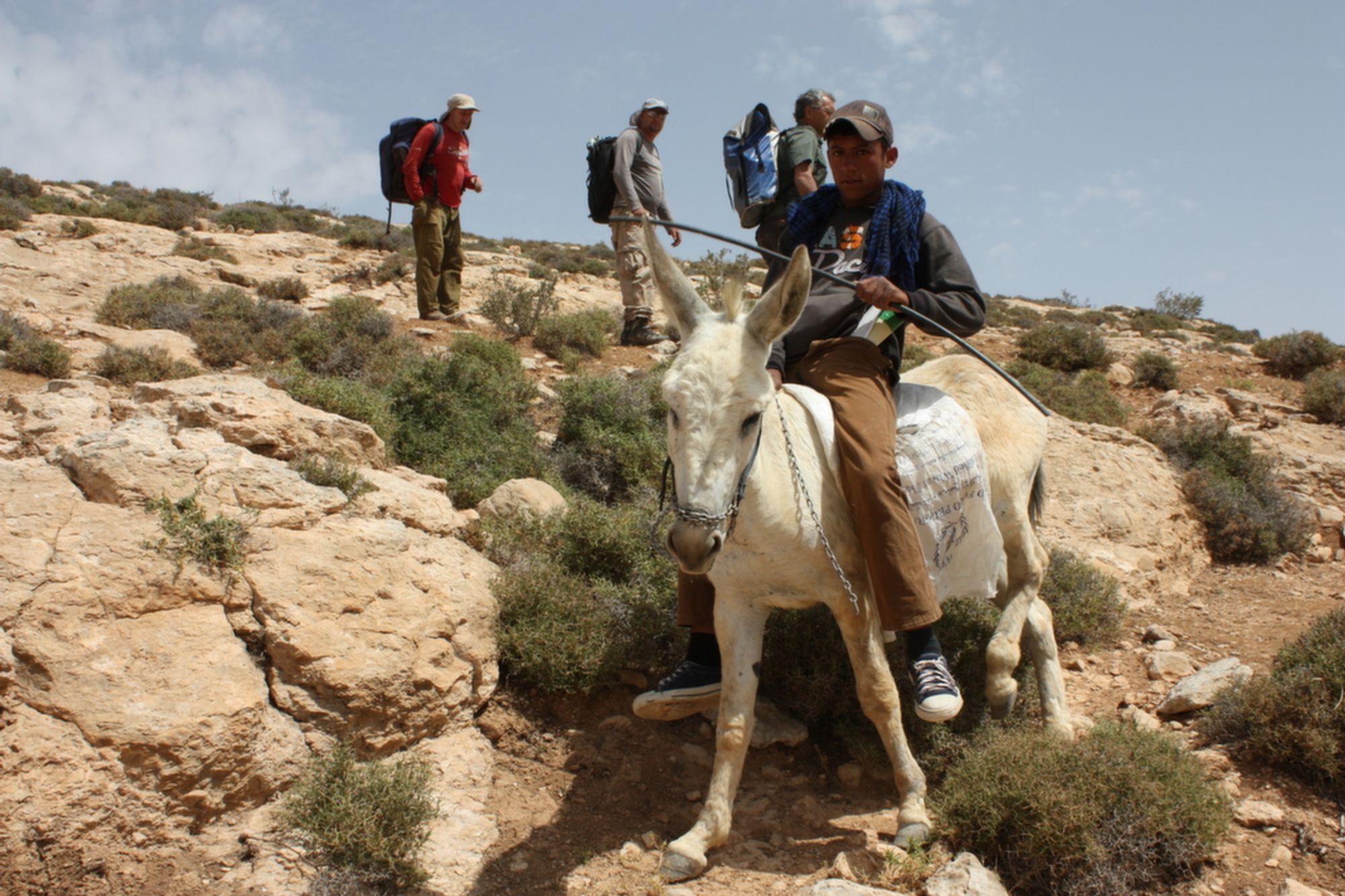
- We reached the cave following a report by Yigal Amichai, a resident of Kiryat Arba (brother of the late Ahikam). During our visit (May 2012) the cave was mapped. According to a Bedouin youth we met at the site, the cave is called Bir el Hamam.
Written by: Boaz Langford
(Bir el-Hamam)