Abu Kati Cave
- Grid ref.
- 18890/15575
- Location
- Wadi Dalia
- Elevation
- 100 m above sea level
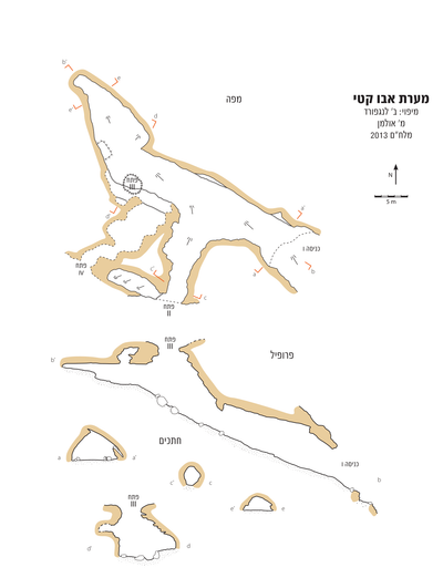 Cave mapView the map (PDF)
General background:
Abu Kati Cave is a medium-sized cave (total length 63 m), formed by hypogenic dissolution in limestone of Turonian age (Shivta Formation). The cave consists mainly of a wide passage extending along a general axis: east-south-east – west-north-west. Interestingly, this axis is perpendicular to the dip axis of the rock layers in which the cave developed (dip 55º toward azimuth 230), as well as to a pair of short passages branching off the central passage.
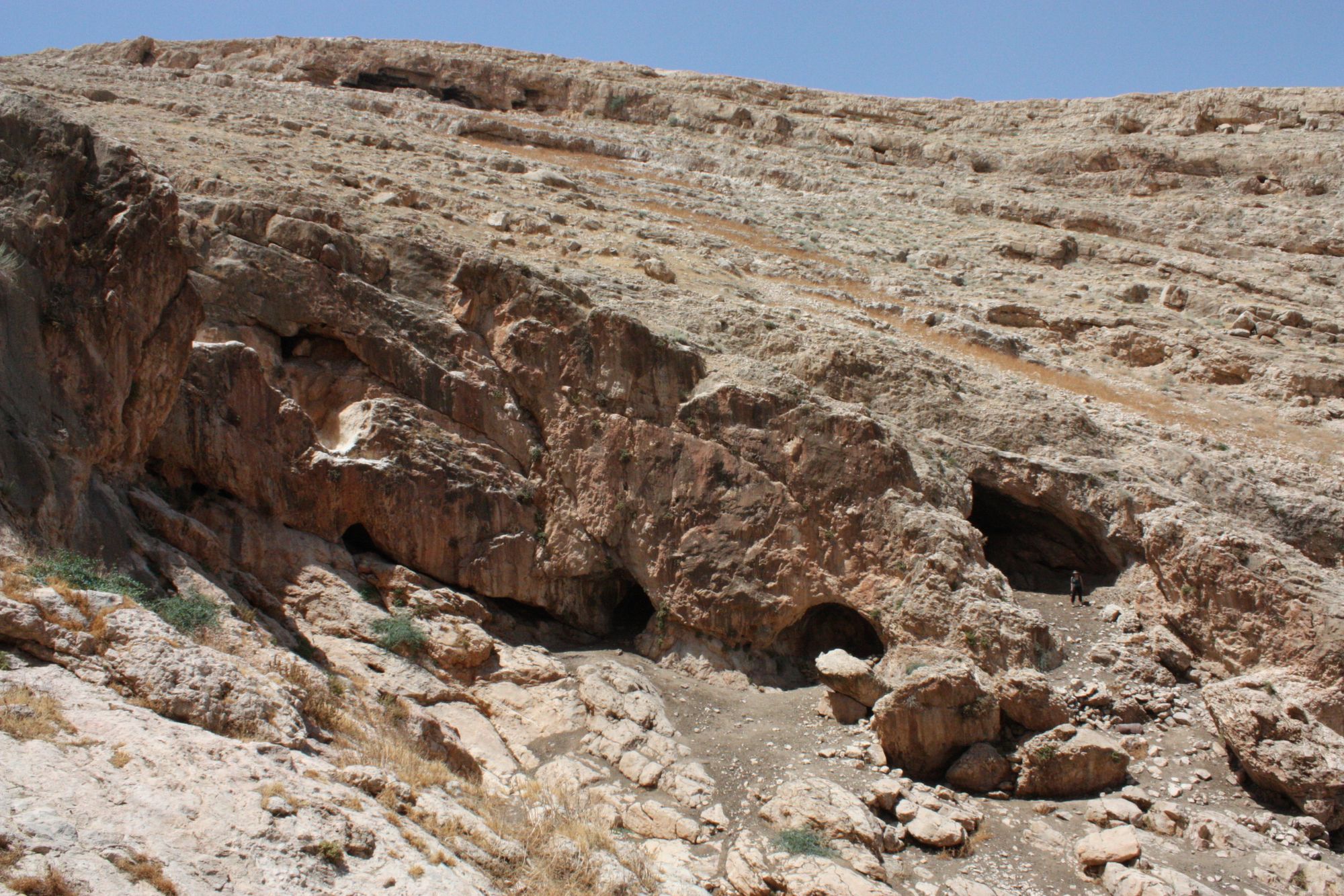
The cave was exposed in the cliff of the northern bank of the Wadi Dalia canyon, very close to the waterfall in the center of the canyon. The location of the cave links it to a complex of large caves that developed in the canyon of the stream: Arak a-Nasneh Cave, Abu Shanji Cave and Yogev Cave. Each of these caves is up to several tens of meters away from the opening of Abu Kati Cave.
The cave was surveyed and schematically mapped as part of an ICRC activity that surveyed Wadi Dalia and its caves in 1981. Archaeological activity in the caves of the stream was carried out in the early 1960s by the American School of Oriental Research. Interestingly, despite the proximity of Abu Kati Cave to the caves in which the American expedition worked, the cave is not mentioned in the expedition's reports. Transverse test trenches, which appear in several places in the entrance area of the cave, indicate that archaeological activity was carried out in it. The organized character of the excavation does not fit looting activity, and therefore it can be assumed that the expedition's researchers did examine the cave but abandoned it, perhaps due to lack of interest.
In a trip to the caves of Wadi Dalia in June 2013 (B.L., M.A., A.L.), the cave was surveyed and mapped a second time.
Description of the cave:
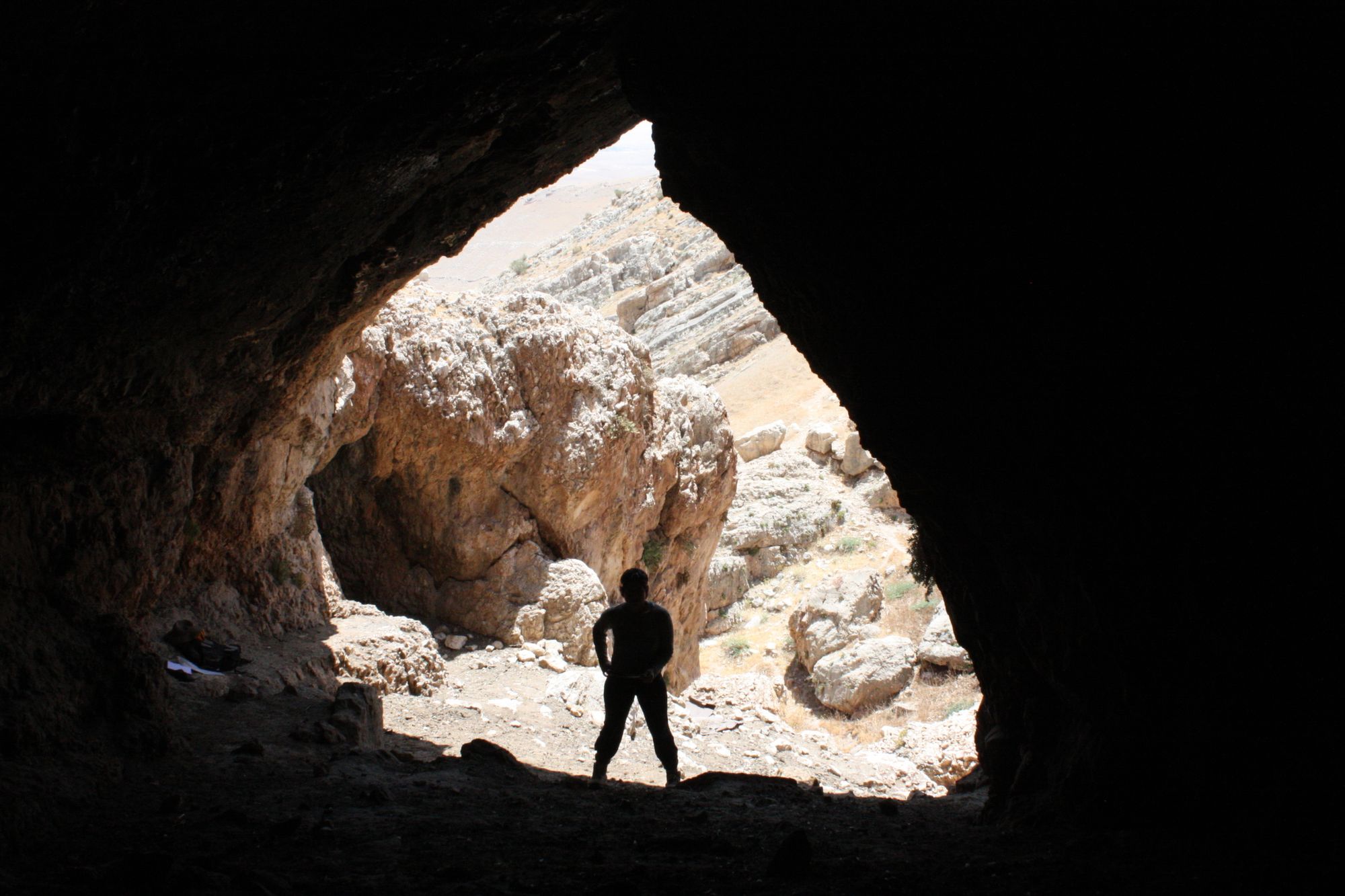
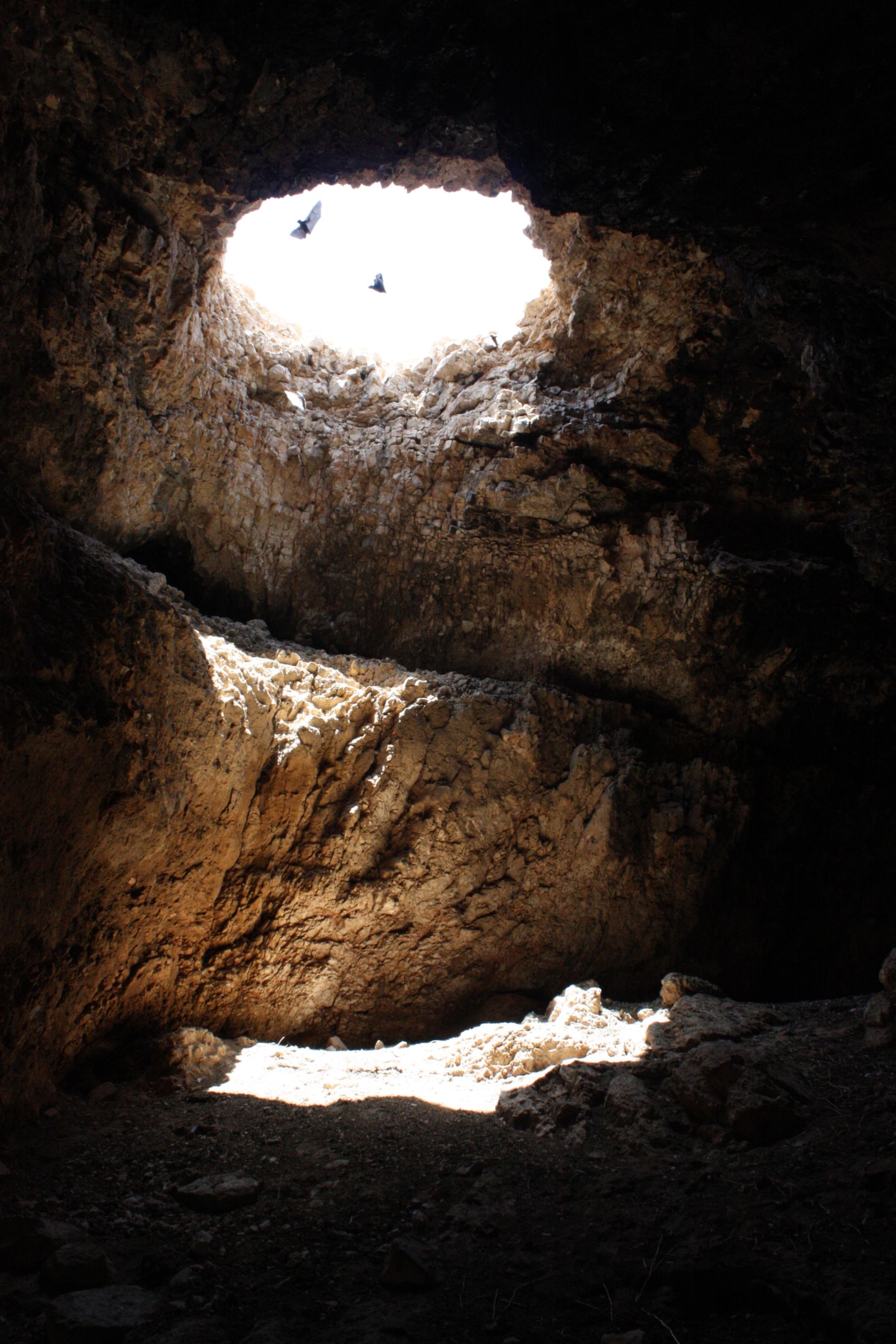
The cave has 4 openings gaping along the northern bank of the Wadi Dalia canyon. Three of the openings are horizontal and one is vertical. The main opening of the cave (opening A) is the easternmost of its openings and the largest of them; the opening measures 7X4.5 m and its general shape is triangular/vaulted. The ceiling of the right side of the opening (looking into the cave) is made up of an inclined rock layer that clearly shows the rock layers in which the cave developed and their angle of dip. The cave opening leads to a wide, semi-lit passage extending west-north-west. The floor of the passage slopes upward from the opening toward its inner part (typical slope 25º). The floor is covered by a thick layer of sheep droppings and organic material. A cross-section dug in the cave floor reveals that the depth of the floor cover is at least half a meter. The ceiling of the passage runs continuously, in general, at a slope parallel to the ground. In the middle of the passage, about 10 m from the opening, a secondary passage joins it, which developed perpendicular to the axis of the main passage. The secondary passage is about 12 m long, with a convex profile; its floor is inclined to the south and shallow dissolution domes gape in its ceiling. On the southern side of the secondary passage a rounded opening (measuring 2.5X3 m) connects the passage with the surface (opening B). Another opening (opening C) gapes in the cliff of the stream bank, west of the opening of the secondary passage. This opening is difficult to reach because of its location at the height of the cliff, a few meters above the streambed. From the opening extends a low, wide passage that developed on the contact plane between two rock layers. On its northern side this passage joins the main passage of the cave, about 24 m from the main opening. At this point a rounded chimney gapes in the ceiling of the cave, opening to the surface (opening D).
It seems that this opening was formed at the top of a developed karst chimney that was truncated and collapsed by surface erosion processes. Collapse rocks that were formed when the opening was created are scattered on the cave floor, beneath the vertical opening. Another chimney, which does not lead to the surface, gapes in the cave ceiling, next to the vertical opening. This chimney serves as a preferred gathering place for several hundred fruit bats that roost in the cave.
In the area of the vertical opening the cave turns north and continues along this axis to its end, after about 15 m. From the turning point to its end the cave becomes narrower. The inner part of the cave is darker than its other parts; its floor and ceiling are horizontal.
Notes:
- The cave opening can be reached on foot from Kibbutz Gilgal (east) or from the village of El-Mughayyir (west). The approach from the western part of the stream leads to a waterfall, which can be crossed without a rope, through a cave that passes along the body of the waterfall.
- Several tens or hundreds of fruit bats were observed in the cave. Also observed in the cave were: porcupine quills, a few bones, and pigeon droppings and feathers.
Written by: Boaz Langford